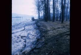
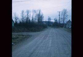
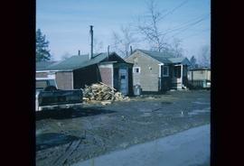
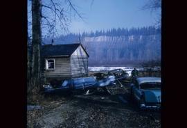
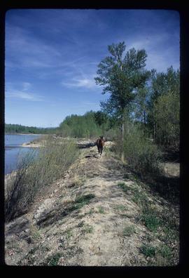
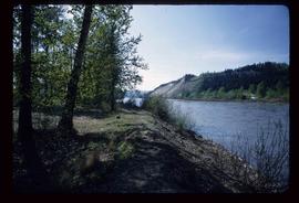
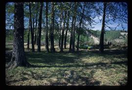
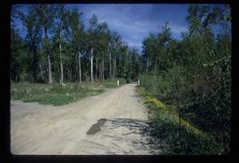
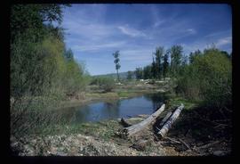
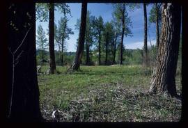
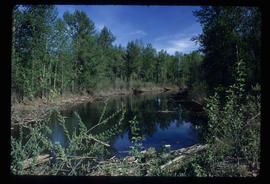
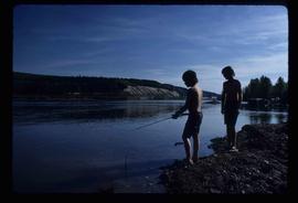
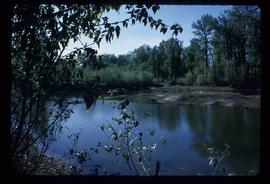
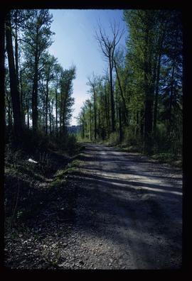
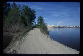
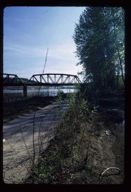
File contains slides depicting Cottonwood Island in Prince George, B.C.
File contains slides depicting the grade for what was formerly the Pacific Great Eastern, and is now known as British Columbia Railway.
File contains slides depicting logging and equipment. Most appear to be locations around Prince George.
File contains slides depicting landforms at various locations.
File contains slides depicting the opening of the Cottonwood Park section of the Heritage River Trails in Prince George, B.C.
File contains slides depicting numerous recreational locations from various places in Canada.
File contains slides depicting recreational activities on Tabor Mountain in Prince George, B.C.
File contains slides depicting maps and site plans for the city of Prince George.
File contains slides depicting aerial views of Prince George.
File contains slides depicting maps of the Prince George town site.
File contains slides depicting CN locations east of Prince George.
File contains slides depicting the growth of Prince George.
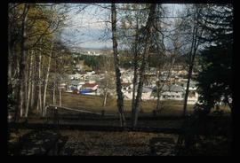
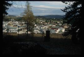
Image depicts a Prince George residential area from the viewpoint of the Ginter Property.
Image depicts a Prince George residential area from the viewpoint of the Ginter Property.
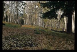
Image depicts the Ginter Property in Prince George, B.C.
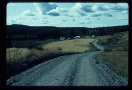
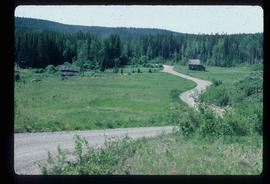
Image depicts a house on Blackwater Road.
Image depicts an abandoned cabin and shed on Blackwater Road.
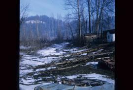
Image depicts some fallen trees at Island Cache.
Image depicts an area of cut trees at Island Cache.
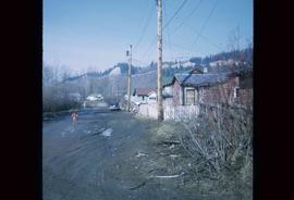
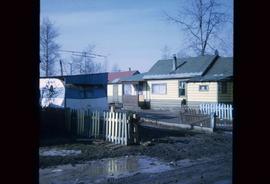
Image depicts numerous houses, and an unknown child standing in a street at Island Cache.
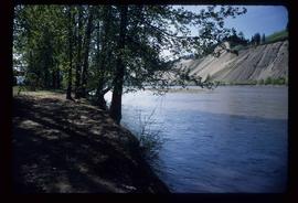
Image depicts the bank of the Nechako River at Island Cache.
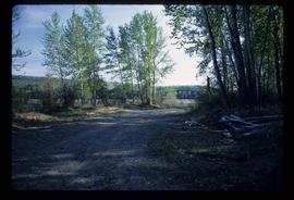
Image depicts a clearing at Island Cache.
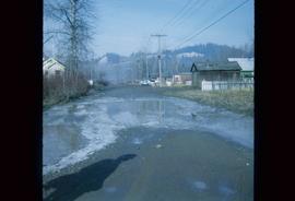
Image depicts a street in Island Cache.
Image depicts a few houses in Island Cache.
Image depicts several old, ruined cars and an unknown individual in Island Cache.
Image depicts a few houses and a dog on a porch at Island Cache.
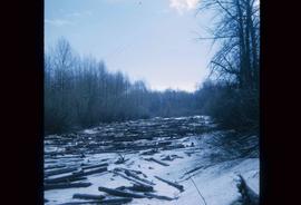
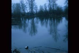
Image depicts a body of water in Island Cache. It is possibly a small section of the Nechako River.
Image depicts a street in Island Cache.
Image depicts the Nechako River on Cottonwood Island.
Image depicts a horse on Cottonwood Island.
Image depicts the Nechako River from Cottonwood Island.
Image depicts a green car among some trees on Cottonwood Island.
Image depicts a nature trail on Cottonwood Island.
Image depicts Cottonwood Island.
Image depicts Cottonwood Island.
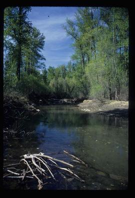
Image depicts a small stream somewhere on Cottonwood Island.
Image depicts two youths fishing from the bank of the Nechako River on Cottonwood Island.
Image depicts what is possibly a small section of the Nechako River on Cottonwood Island.
Image depicts a nature trail on Cottonwood Island.
Image depicts a nature trail on Cottonwood Island.
Image depicts a nature trail on Cottonwood Island.
Image depicts a small stream somewhere on Cottonwood Island.
Image depicts a nature trail on Cottonwood Island.
Image depicts a view of the Millar Addition suburb in Prince George, B.C.
Image depicts a view of the Millar Addition suburb from Connaught Hill in Prince George, B.C.
Image depicts the cutbanks on the other side of the Nechako, taken from the nature trail at Island Cache. Map coordinates 53°55'34.6"N 122°45'52.4"W
Image depicts the cutbanks on the other side of the Nechako, taken from the nature trail at Island Cache. Map coordinates 53°55'34.6"N 122°45'52.4"W
Image depicts the cutbanks on the other side of the Nechako, taken from the nature trail at Island Cache. Map coordinates 53°55'34.6"N 122°45'52.4"W
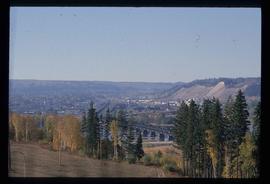
Image depicts the Grand Trunk Railway bridge across the Fraser River. Map coordinates 53°54'29.0"N 122°42'06.5"W
Image depicts downtown Prince George taken from across the Nechako River looking south. Map coordinates 53°56'00.0"N 122°44'29.7"W
