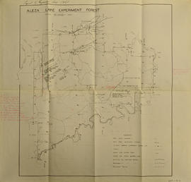
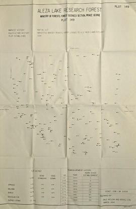
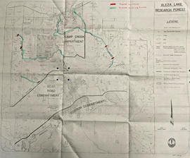
Map reflects reserve boundary, roads, trails, 20 feet contour intervals, air photo centre, declination, swamps, and mile post at the Aleza Lake Experiment Forest.
Map accompanies “Aleza Lake Research Forest Management and Working Plan #2 Draft #3”.
Photograph depicts the Aleza Lake regional district garbage dump in October 1992.
Photograph is a copy print.
Item is a photograph of a copy print, resulting in a low quality photographic reproduction. Reproduced as a print, slide, and a negative. Location of original photograph is unknown.