2012.13.1.98.27
·
Pièce
·
1999
Fait partie de J. Kent Sedgwick fonds
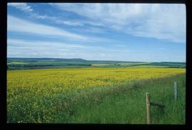
Image depicts what appears to be a small community on the shore of a lake. The location is uncertain.