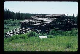
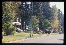
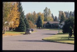
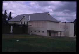
Image depicts a shed on Blackwater Road.
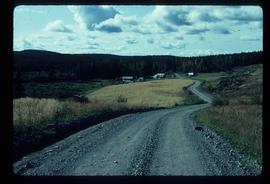
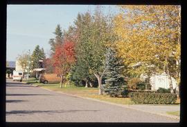
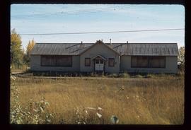
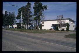
Image depicts a house on Blackwater Road.
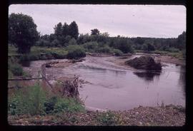
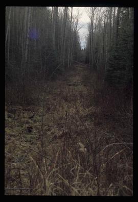
Image depicts Mud River, also known as the Chilako River, at Blackwater Road, Prince George, B.C.
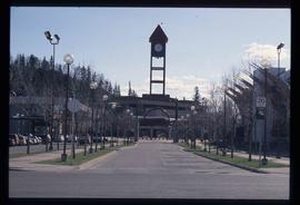
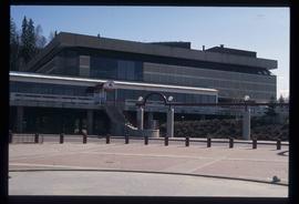
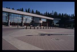
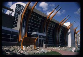
Image depicts the Prince George Public Library from 7th Ave.
Image depicts the Prince George Public Library.
Image depicts the Prince George Civic Centre.
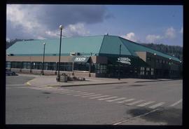
Image depicts the Aquatic Centre in Prince George, B.C.
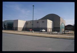
Image depicts the Prince George Multiplex.
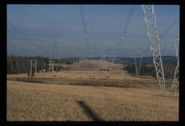
Image depicts the power lines in the Hixon area south of Prince Georg, B.C.
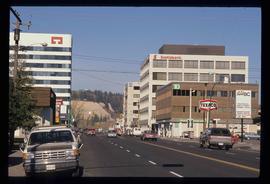
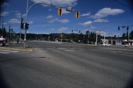
Image depicts the intersection of 15th Ave and Highway 97 in Prince George, B.C.
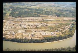
Image depicts a the Danson Industrial Park in Prince George, B.C.
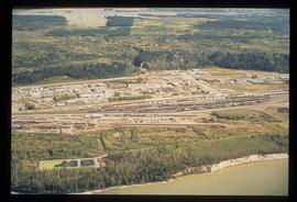
Image depicts an aerial view of the BC Rail, in Prince George, B.C. It is now known as CN Rail.
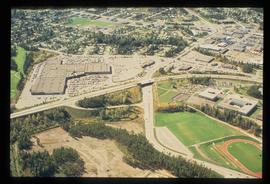
Image depicts an aerial view of Pine Centre Mall and Masich Place Stadium in Prince George, B.C.
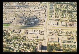
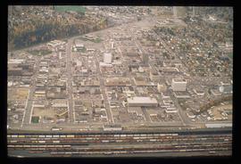
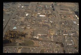
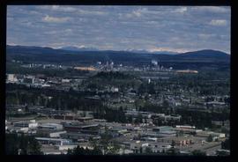
Image depicts an aerial view of downtown Prince George, B.C.
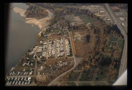
Image depicts a trailer park by either the Fraser or Nechako River in Prince George, B.C.
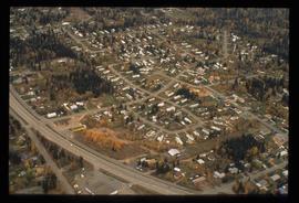
Image depicts Glenview Drive near the Hart Highway in Prince George, B.C.
Image depicts College Heights, particularly along Gladstone Drive, in Prince George, B.C.
Image depicts a Lakewood view of Spruceland in Prince George, B.C.
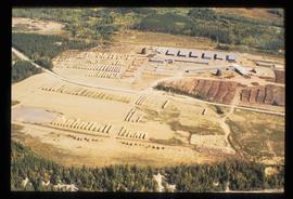
Image depicts a sawmill in the Danson Industrial Park in Prince George, B.C.
Image depicts the Carter Industrial Area in Prince George, B.C.
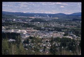
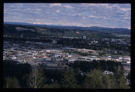
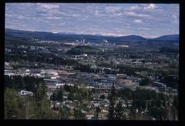
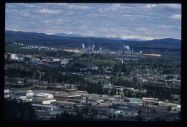
Image depicts Prince George from University Way, with the P.G.I pulp mill in the distance.
Image depicts Prince George, with the picture looking North-Northeast from University Way.
Image depicts Prince George from University Way, with the P.G.I. Pulp Mill in the distance.
Image depicts Prince George from University Way, with the P.G.I. Pulp Mill in the distance.
Image depicts Prince George from University Way, with the P.G.I. Pulp Mill in the distance.
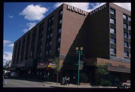
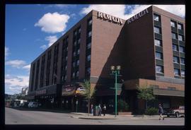
Image depicts the Ramada Hotel in Prince George, B.C.
Image depicts the Ramada Hotel in Prince George, B.C.
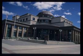
Image depicts the Courthouse in Prince George, B.C.
Image depicts the Two Rivers Art Gallery in Prince George, B.C.
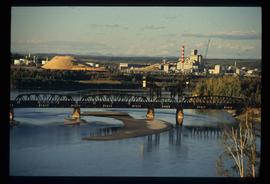
Image depicts two mills; the Intercontinental Pulp Mill is on the right in the foreground, and the Prince George Pulp and Paper Mill is on the left in the background. The picture is taken from the South, possibly off Yellowhead Bridge in Prince George, B.C.
Image depicts downtown Prince George, B.C.
Image depicts the Nechako Subdivision in Prince George, B.C.
Image depicts the Seymour Subdivision in Prince George, B.C.
Image depicts the Seymour Subdivision in Prince George, B.C.
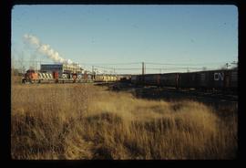
Image depicts two trains in Prince George, B.C.
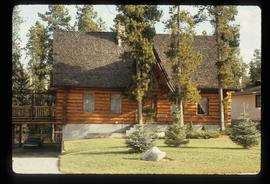
Image depicts a log house located somewhere on Kerry Street in Prince George, B.C.
Image depicts two mills; the Intercontinental Pulpmill is on the left side of the tracks in the image and the Prince George Pulp and Paper Mill is located on the right side in Prince George, B.C. The Northwood Pulp Mill can be seen in the distance.
Image depicts a view of the south direction of the grade for the British Columbia Railway, which was formerly known as the Pacific Great Eastern until 1972. It is at an uncertain location, possibly near Woodpecker or Prince George.
Image depicts an old, boarded up school, possibly the Central Fort George Traditional School in Prince George, B.C.
Image depicts an old, boarded up school in Island Cache, B.C.
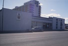
Image depicts the Royal Canadian Legion building on 7th Ave and the Inn of the North Coast Hotel in the background. Map coordinates 53°54'50.6"N 122°44'56.1"W
Image depicts Studio 2880 Arts Complex in Prince George, B.C. Map coordinates 53°54'36.9"N 122°46'30.3"W
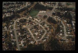
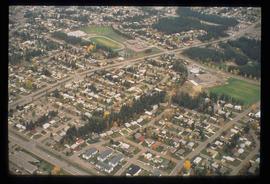
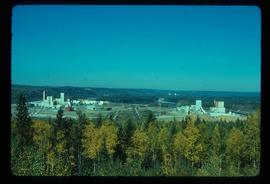
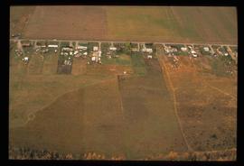
Image depicts an aerial view of what is possibly an outlying area of Prince George, B.C.
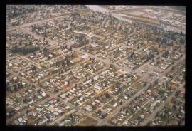
Image depicts an aerial view of a Prince George residential section between Highway 97, Carney Street and 10th Ave looking north. Map coordinates 53°54'54.0"N 122°46'00.4"W
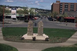
Image depicts a view of Prince George from City Hall looking northeast along George Street. Includes a back view of the Prince George cenotaph. Map coordinates 53°54'46.3"N 122°44'41.9"W
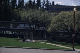
Image depicts Prince George City Hall. Map coordinates 53°54'46.3"N 122°44'41.9"W
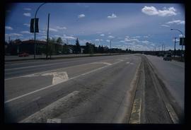
Image depicts a section of Highway 97 looking south. Map coordinates 53°55'10.3"N 122°46'54.9"W
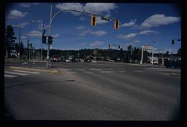
Image depicts the intersection of 5th Ave and Highway 97 looking northeast. Map coordinates 53°55'14.0"N 122°46'54.8"W
Image depicts the intersection of 5th Ave and Highway 97 looking northeast. Map coordinates 53°55'14.0"N 122°46'54.8"W
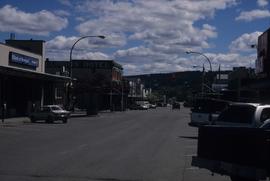
Image depicts 3rd Ave in Prince George, B.C. Map coordinates 53°55'01.9"N 122°44'48.7"W
