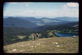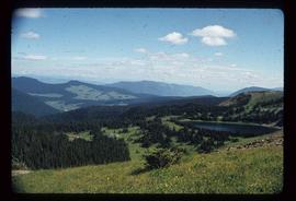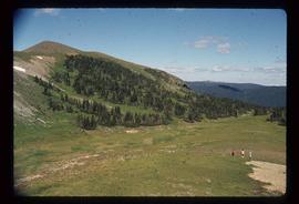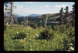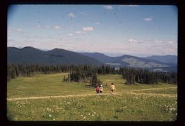
2012.13.1.73.02
·
Item
·
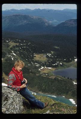
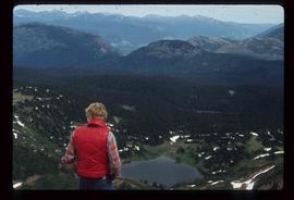
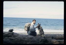
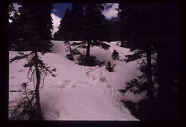
Aug. 1979
Parte de J. Kent Sedgwick fonds
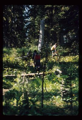
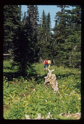
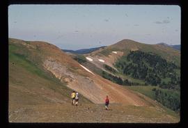
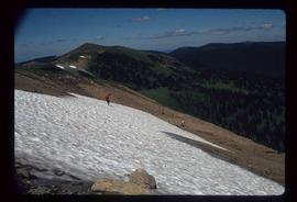
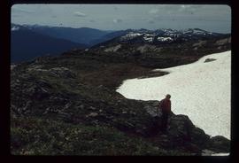
Image depicts an unknown individual and some snow located somewhere along the Murray Ridge.