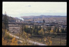
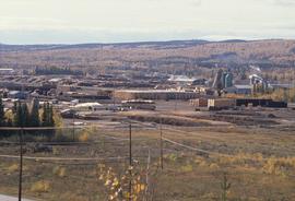
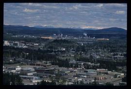
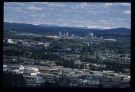
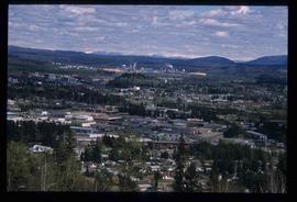
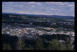
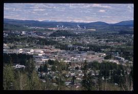
Image depicts the Lakeland Sawmill in Prince George, B.C, identified by the beehive burners; the one with white smoke belonged to Pas Lumber Co. which was bought out by Lakeland in 1987.
Image depicts the Lakeland Sawmill in Prince George, B.C.
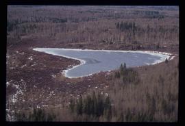
Image depicts Haldi Lake near Prince George, B.C.
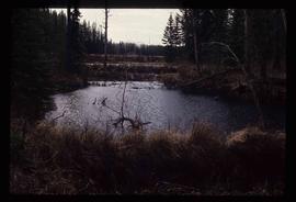
Image depicts Eskers Park, near Prince George, B.C.
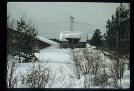
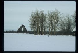
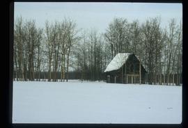
Image depicts Pineview on Buckhorn Lake Road, Prince George, B.C.
Image depicts Pineview on Buckhorn Lake Road, Prince George, B.C.
Image depicts Pineview on Buckhorn Lake Road, Prince George, B.C.
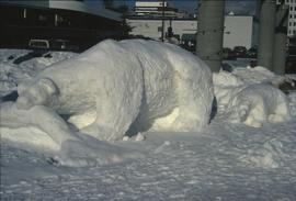
Image depicts a snow sculpture of a bear, possibly during the Winter City Conference, in Prince George, B.C. Taken at the Prince George Civic Center. Map coordinates 53°54'45.6"N 122°44'59.6"W
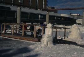
Image depicts two snow sculptures near a wooden bridge on an ice rink, possibly during the Winter City Conference, in Prince George, B.C. Taken at the Prince George Civic Center. Map coordinates 53°54'45.6"N 122°44'59.6"W
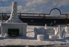
Image depicts a snow sculpted fire place and couch on a skating rink, possibly during the Winter City Conference, in Prince George, B.C. Taken at the Prince George Civic Center. Map coordinates 53°54'45.6"N 122°44'59.6"W
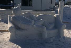
Image depicts a snow sculpture of the Mr. P.G. lounging on a couch, possibly during the Winter City Conference, in Prince George, B.C. Taken at the Prince George Civic Center. Map coordinates 53°54'45.6"N 122°44'59.6"W
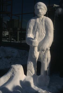
Image depicts a snow sculpture of a man with a shovel, possibly during the Winter City Conference, in Prince George, B.C. Taken at the Prince George Civic Center. Map coordinates 53°54'45.6"N 122°44'59.6"W
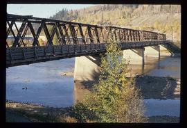
Image depicts the Northwood Bridge crossing in Prince George B.C.
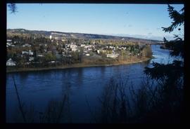
Image depicts downtown Prince George taken from across the Nechako River looking south. Map coordinates 53°56'00.0"N 122°44'29.7"W
Image depicts the Northwood Pulpmill in Prince George, B.C. taken from above the Nechako River looking east. Map coordinates 53°56'00.0"N 122°44'29.7"W
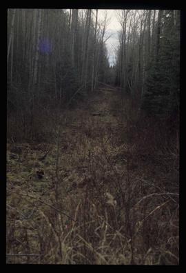
Image depicts a view of the south direction of the grade for the British Columbia Railway, which was formerly known as the Pacific Great Eastern until 1972. It is at an uncertain location, possibly near Woodpecker or Prince George.
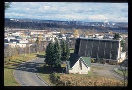
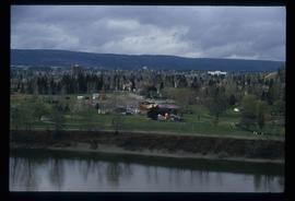
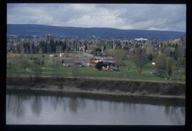
Image depicts Prince George from University Way, with the P.G.I. Pulp Mill in the distance.
Image depicts Prince George from University Way, with the P.G.I. Pulp Mill in the distance.
Image depicts Prince George from University Way, with the P.G.I. Pulp Mill in the distance.
Image depicts Prince George, with the picture looking North-Northeast from University Way.
Image depicts Prince George from University Way, with the P.G.I pulp mill in the distance.
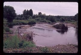
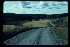
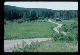
Image depicts Mud River, also known as the Chilako River, at Blackwater Road, Prince George, B.C.
Image depicts a house on Blackwater Road.
Image depicts an abandoned cabin and shed on Blackwater Road.
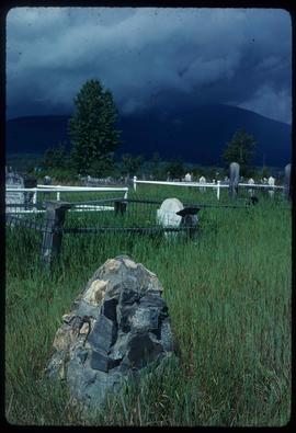
Image depicts a cemetery in the South Fort George suburb of Prince George, B.C.
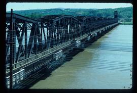
Image depicts a bridge in Prince George, B.C.
Image depicts a bridge in Prince George, B.C.
Image depicts a bridge in Prince George, B.C.
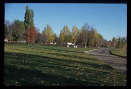
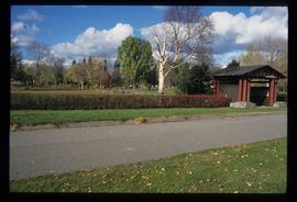
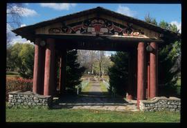
Image depicts the Lheidli T'enneh Burial Grounds in Fort George Park.
Image depicts a view of Prince George from an uncertain location.
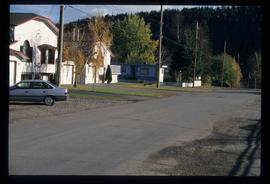
Image depicts an uncertain street in Prince George, B.C.
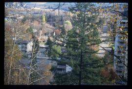
Image depicts Prince George with numerous trees obscuring most of the view.
Image depicts Prince George.
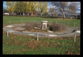
Image depicts the Lheidli T'enneh Burial Grounds in Fort George Park.
Image depicts the Lheidli T'enneh Burial Grounds in Fort George Park.
Image depicts the Lheidli T'enneh Burial Grounds in Fort George Park.
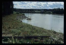
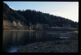
Image depicts the Fraser River at Paddlewheel park, with a train on the other side of the river, in Prince George B.C.
Image depicts the Fraser River at Paddlewheel park, with a train on the other side of the river, in Prince George B.C.
Image depicts a view of Prince George.
Image depicts a view of Prince George.
File consists of an audio recording of an interview with Jack Boudreau. Includes one original recorded audio cassette and one copy.
File consists of a transcript of an oral history interview with Jack Boudreau. Also includes photocopies of Jack Boudreau's personal records, such as the Diary of Ada (Adelia) Sykes.
File consists of a transcript of an oral history interview with Jim Burbee.
