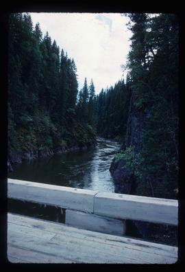
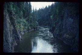
Image depicts an unidentified individual standing in front of a rock face with visible sediment layers. Located somewhere in the Peace River Region, possibly near Hudson's Hope.
Image depicts the Peace River, possibly near Hudson's Hope, B.C.
Image depicts a cabin and several other buildings, possibly located in Hudson's Hope, B.C.
Image depicts the Peace River, possibly near Clayhurst or Hudson's Hope, B.C.
Image depicts the Clayhurst Ferry on the Peace River.
Image depicts grass burning at an uncertain location in the Peace River Region.
Image depicts a street of shops at an uncertain location somewhere in the Peace River Regional District. A pink and blue building, possibly a theatre, is labelled "Lux."
Image depicts a stretch of highway, possibly Highway 29 or 97.
Image depicts what is possibly the Peace River running parallel to a road, possibly Highway 29.
Image depicts a dam on what is possibly the Peace River.
Image depicts a section of forest located somewhere in the Peace River Regional District of B.C.
Image depicts an area of forests and fields somewhere near Fort St. John, B.C.
Image depicts a section of the Peace River blocked off by the W.A.C. Bennett Dam. The dam itself is not visible in the image.
Image depicts a road with a guardrail and open fields somewhere near Dawson Creek, B.C.
Image depicts the Hansard railroad bridge taken from the new Hansard vehicle bridge. Map coordinates 54°04'58.1"N 121°50'58.0"W
Image depicts the new Hansard Bridge. Map coordinates 54°04'57.9"N 121°51'10.1"W
Image depicts two unidentified individuals speaking to each other in the doorway of what appears to be a mobile home. The location is uncertain.
Image depicts what appears to be a ferry crossing a river at an uncertain location.
Image depicts a cow at an uncertain location.
Image depicts a row of houses in Upper Fraser, B.C. Map coordinates 54°06'51.6"N 121°56'26.3"W
Image depicts a train on the Hansard Bridge across the Fraser River looking west. Map coordinates 54°04'37.7"N 121°50'39.9"W
Image depicts four individuals sitting on a log, possibly somewhere near the Hansard Bridge, B.C. The individuals are UNBC faculty members Gail Fondahl, Tracey Summerville, Greg Halseth and an unidentified individual. The slide is labelled: "Hansard Bridge UNBC." Map coordinates 54°04'37.7"N 121°50'39.9"W
Image depicts a group of people somewhere in Willow River, B.C. The man in the plaid shirt and beige cap is identified on the slide as being Lloyd Edwards.
Image depicts the creek flowing into Eaglet Lake. A grey area of hill on the right side of the image appears to be the Giscome Quarry. Map coordinates 54°04'26.2"N 122°22'04.3"W
Image depicts Giscome with the school on the left, the remnants of the town site in the middle and the church on the right. Map coordinates 54°03'58.2"N 122°22'04.8"W
Image depicts the dairy farm in Giscome, B.C. Map coordinates 54°03'53.3"N 122°21'22.6"W
Image depicts what is possibly the Bowron River from a bridge. The slide is simply labelled "Bowron Canyon."
Image depicts what appears to be a log jam on what is possibly the Bowron River. The slide is simply labelled "Bowron Canyon."
Image depicts what is possibly the Bowron River. The slide is simply labelled "Bowron Canyon."
Image depicts a barn full of hay and several cows, possibly near Newlands, B.C.
Image depicts an old shack buried in snow, possibly in Newlands, B.C.
Image depicts an old building that was possibly once a gas station in the community of Newlands, B.C.
Image depicts what is possibly the community of Newlands, B.C.
Image depicts a house in Upper Fraser with the residential area in the background. Map coordinates 54°07'02.8"N 121°56'37.5"W
Image depicts a vehicle parked beside a small, wooden house in Upper Fraser, B.C. Map coordinates 54°07'05.7"N 121°56'38.9"W
Image depicts several unidentified individuals walking along the snow-covered Upper Fraser Road with numerous buildings on either side. Map coordinates 54°07'05.7"N 121°56'38.9"W
Image depicts a house with torn-up siding. The slide is labelled: "Mellos house relocated from Penny." The location is uncertain.
Image depicts a beehive burner somewhere in or near Penny, B.C.
Image depicts Sue Sedgwick standing in front of an old, run-down house somewhere in or near Penny, B.C.
Image depicts Kent Sedgwick sitting on the bank of a river. An old beehive burner is visible in the background. Located somewhere in or near Penny, B.C.
Image depicts the Catholic Church in Penny, B.C.
Image depicts an old, abandoned cabin with ivy growing up the side. The location is uncertain.
Image depicts numerous piles of wood in Longworth, B.C.
Image depicts an old cabin in the woods at an uncertain location.
Image depicts the Fraser River and a mountain in Longworth, B.C.
Image depicts four unidentified individuals walking along the bank of the Fraser River in Longworth, B.C.