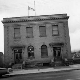
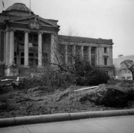
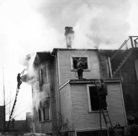
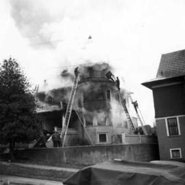
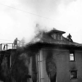
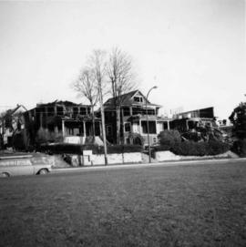
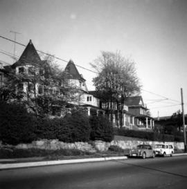
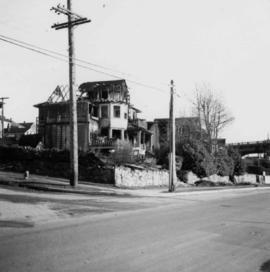
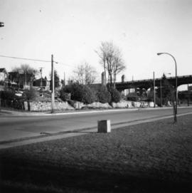
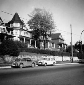
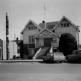
Photograph depicts the Delta Municipal Hall on Main St. in Ladner, B.C.
Photograph depicts a disused schoolhouse with the dates "1925" and "1902" on it. It is on River Rd. on the south bank of the Fraser River in Delta, opposite the west end of Annacis Island.
Photograph depicts one of the few surviving old style garages in west end Vancouver on Barclay St.
Photograph depicts Alberni St. in the west end of Vancouver. It is directly opposite the Vehicle Testing Station, in the 1700 block. The view in the photo is looking east.
Photograph depicts a house on Nicola St. at the southwest corner of the intersection of Nicola and Robson St., in Vancouver, B.C.
Photograph depicts a fisherman's house, lived in and owned by a First Nations man (?), on the south bank of the south arm of the Fraser River. It is about 5 miles southeast of New Westminster at approximately 9000 block of River Road.
Photograph depicts the junction of Robson and Cordero St. in west end Vancouver, B.C. The photo is looking northwest on the newly demolished block, except for some houses at far end. View is looking down Robson St., with Cordero St. intersecting the photo.
Photograph depicts a post office on Main St. in Cumberland on Vancouver Island. It was built in 1907 in a similar style to the building in Ladysmith.
Photograph depicts a Ukrainian Greek Orthodox Church on 27th St. and 41st Ave. in Vernon, B.C. in the Okanagan.
Photograph depicts the brick works at Haney, B.C., within 100 yards of the Fraser River. Current production appeared to be bricks, tiles, and flowerpots. There is a disused railway spur in the works
Photograph depicts a shop on the north side of Main St. in Cumberland on Vancouver, Island.
Photograph depicts the United Church at Spences Bridge in the Fraser Canyon. The church is on the flats on the west side of the river and close to the C.N. depot.
Photograph depicts a log barn at Lookout Lodge beside Shuswap Lake, between Sorrento and Squilex.
Photograph depicts a liquor store and church on Main St. in Lillooet, B.C.
Photograph depicts a courthouse in Vancouver, B.C. Photo shows the ripped up forecourt.
Photograph depicts a courthouse in Vancouver, B.C. surrounded by a fence with paintings.
Photograph depicts a courthouse in Vancouver, B.C. Photo shows the ripped up forecourt.
Photograph depicts a courthouse on Georgia St., looking west towards the Vancouver Hotel. The fence surrounding the courthouse is covered with paintings.
Photograph depicts a courthouse on Howe St. in Vancouver, B.C. There are paintings on the fence surrounding the forecourt.
Photograph depicts a painting on a fence outside a courthouse on Howe St. in Vancouver, B.C. The painting shows the natural grandeur of B.C. partially blocked out by a super motel with a bewildered moose forced to become an ornamental fountain. The whole forecourt is being bulldozed to make way for the Centennial fountain.
Photograph depicts a painting on the fence outside a courthouse on Howe and Granville St. In Vancouver, B.C. Each artist was granted a permit and panel by City Council.
Photograph depicts a wharf at Sechelt village on the Sechelt Peninsula. The view is looking southeast towards Vancouver.
Photograph depicts a wharf at Lang Bay, 14 miles southeast of Powell River. In fair repair, now used only by an oil company to pump in oil to a storage depot behind the camera.
Photograph depicts the First Narrows looking east from the base of Point Atkinson lighthouse.
Photograph depicts a dredge working on the shoreline of a new apartment site on the south side of Coal Harbour, Vancouver, B.C. Photograph taken from Stanley Park, looking east. The Bayshore Inn Hotel is shown in the rear center.
Photograph depicts a general view of Coal Harbour in Vancouver, taken from its head in Stanley Park, looking east. The Bayshore Inn is shown on the extreme left of the image.
Photograph depicts a deserted cannery at Nootka, on west Vancouver Island.
Photograph depicts the Pacific Terminus of the Trans Canada Highway in Tofino, B.C. on Vancouver Island.
Photograph depicts Tofino on Vancouver Island. View taken from wharf with a lifeboat on slip.
Photograph depicts a house fire possibly on 1000 Beach Block and Thurlow St. , caused by a wrecking gang.
Photograph depicts a house fire on 1000 Beach Block and Thurlow St. on December 18, 1964. A wrecking gang accidently set fire to the house and it took one hour to get the fire under control.
Photograph depicts a house fire possibly on 1000 Beach Block and Thurlow St. , caused by a wrecking gang.
Photograph depicts homes on 1000 Beach Ave., looking northeast.
Photograph depicts homes on 1000 Beach Ave., looking northeast. House #1053 on the left has been demolished at this point and then set on fire one night by kids.
Photograph depicts the 1000 Beach Ave. block with dogwood rose tree in bloom at the left of the photo.
Photograph depicts homes on 1000 Beach Ave. in Vancouver, B.C.
Photograph depicts house at #1053 Beach Ave. in Vancouver, B.C. Dan Davies was a resident at one time.
Photograph depicts the ongoing wrecking of house #1053 on Beach Ave.
Photograph depicts the homes on 1000 Beach Ave. in Vancouver, B.C.
Photograph depicts home at #1053 Beach Ave., which is now fully demolished.
Photograph depicts an empty site at 1000 Beach Ave. in Vancouver, B.C.
Photograph depicts the inside of the suite at 925 Cadero St. in the west end of Vancouver, B.C.
Photograph depicts the city hall at New Westminster on Victoria Day. The anvil battery is about to fire a 21 gun salute.
Photograph depicts the city hall at New Westminster on Victoria Day. The anvil battery firing round #3 of 21 gun salute.
Photograph depicts the upper end of Coal Harbour, on the south shore looking southwest and taken from the dock of the Vancouver Shipyards Ltd.
Photograph depicts a general view of the upper and south shore section of Coal Harbour in Vancouver, B.C.
Photograph depicts a view looking northeast towards Coal Harbour from Alberni St. (Chilco-Gilford block) with West Georgia St. in the middle distance.
Photograph depicts a general view of the last 300 yards of the upper neck of Coal Harbour in Vancouver, B.C. The view is looking west and taken from the south side.