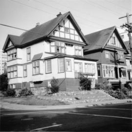
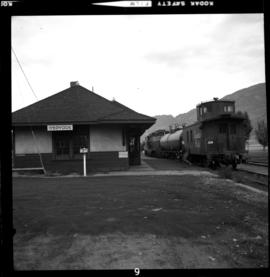
2013.6.36.1.072.18
·
Item
·
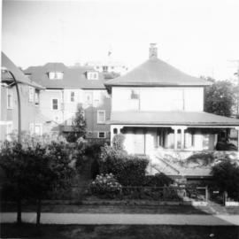
28 Oct, 1967
Part of David Davies Railway Collection
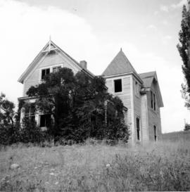
Photograph taken looking northwest at a corner house and another home to its left. They were 2 of 9 houses in this Beach Block, the last block of houses on Beach Ave.