File consists of maps and aerial photographs of Prince George. Includes: "Record of gift" typed document to Kent Sedgwick (10 July 1989); "Map showing topography of the incorporated area of Prince George" reproduction of a map depicting topography and lot areas of Prince George, originally drawn 1926; BC5553 No 237" aerial photo reproduction depicting Prince George [ca. 1980]; "Prince George September 1969" aerial photo reproduction (Sept. 1969); and "3rd and Johnson" reproduction of an aerial photo depicting 3rd Avenue and Johnson St in Prince George [ca. 1970]."
The item is a reproduction of a map originally printed in 1926. The original was lost in the Fort George museum fire. The map depicts topography and lot areas of Prince George. Map also highlights the area of industrial development on DL 417. Annotations state, "Blue Print copy in Eng. Records original burned in museum fire 1926."
The item is a photograph depicting the unveiling of the Arrival of Steel monument at 772 1st Avenue, Prince George. Bruce Anderson and Mayor John Backhouse are in front of the monument with Backhouse giving a speech.
The item is a photograph depicting the unveiling of the Arrival of Steel monument at 772 1st Avenue, Prince George. Bruce Anderson and Mayor John Backhouse are in front of the monument. A crowd is standing around the monument watching the unveiling. Tilden Truck Rentals can be seen in the background.
The item is a photograph depicting the unveiling of the Arrival of Steel monument at 772 1st Avenue, Prince George. Three men are standing in front of the monument, one holding a child and another holding a sign that reads "Edmonton -> Prince George ?" Annotation on reverse side of the photograph states, "CN employees concerned about layoffs with jobs going to Edmonton."
The item is a photograph depicting the Arrival of Steel monument at 772 1st Avenue, Prince George.
File contains slides depicting places in Wyoming, USA.
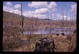
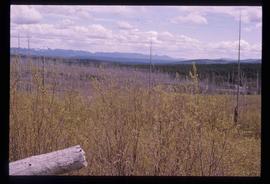
Image depicts a forest of dead trees on the slopes of Tabor Mountain in Prince George, B.C.
File consists of reproductions and typescript documents relating to the "From Trail to Rail" book written by Audrey L'Heureux and promotion of the book at the Alexander Mackenzie Trail Association annual meeting in 1989.
File consists of notes, clippings, and reproductions relating to the Fraser-Fort George Museum Society Museum Publications committee consisting of Kent Sedgwick, Keith Gordon, and Denise McCallum and publishing local histories through the museum. The file primarily consists of material regarding the re-publication of "History of Prince George" by Rev. F.E. Runnalls. Includes photographs titled "Runnall's Book" and depicting historical Prince George and Rev. Runnalls.
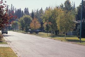
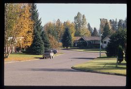
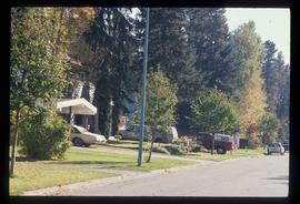
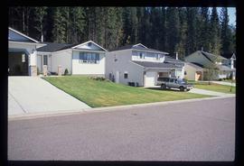
Image depicts a subdivision of Prince George, B.C.
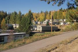
Image depicts trailer homes in Prince George, B.C.
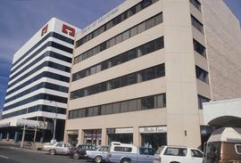
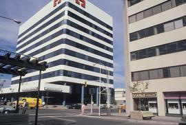
Image depicts 3rd Ave at Victoria St. Map coordinates 53°55'03.9"N 122°44'54.8"W
Image depicts 3rd Ave at Victoria St. Map coordinates 53°55'03.9"N 122°44'54.8"W
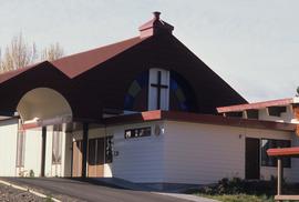
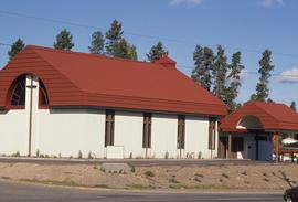
Image depicts the Salvation Army on Ospika Boulevard in Prince George, B.C. Map coordinates 53°55'02.6"N 122°47'41.6"W.
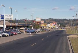
Image depicts Central Street West, parallel to Highway 97 in Prince George, B.C. looking north. Shown: Prince George Motors and other car dealerships, Burger King, Grama's Inn, and the Spruceland Shopping Mall sign. Map coordinates 53°54'42.1"N 122°46'53.1"W
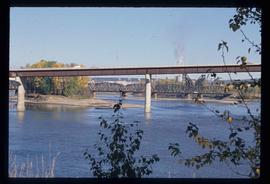
Image depicts the Fraser River and the Yellowhead and Grand Trunk Railway Bridges from LC Gunn Park. Map coordinates 53°54'30.7"N 122°43'27.0"W
Image depicts the Northwood pulpmill in Prince George B.C.
Image depicts the Foothills Bridge over the Nechako river on the Foothills Boulevard in Prince George, B.C. Map coordinates 53°56'52.5"N 122°48'59.9"W
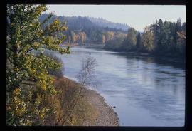
Image depicts a river, possibly the Nechako, in Prince George, B.C. Possibly taken from the Foothills Bridge.
Image depicts the Grand Trunk Railway bridge across the Fraser River. Map coordinates 53°54'29.0"N 122°42'06.5"W
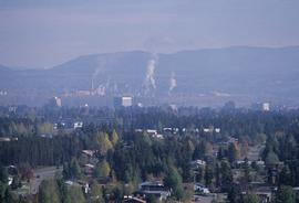
Image depicts Prince George, possibly with the Northwood Pulpmill in the background.
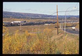
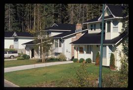
Image depicts the Seymour Subdivision in Prince George, B.C.
Image depicts the Seymour Subdivision in Prince George, B.C.
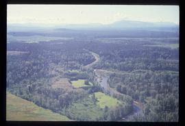
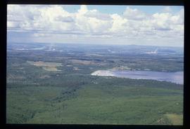
Image depicts an aerial view of a forest somewhere in the area of Divide Lake.
Image depicts an aerial view of a forest somewhere in the area of Divide Lake.
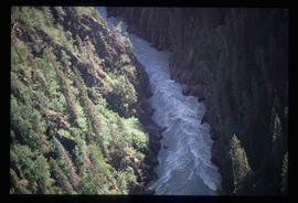
Image depicts a view of the Herrick River in what is possibly McGregor Canyon; the slide is simply labelled "McG Canyon."
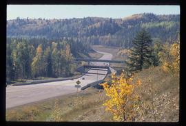
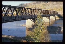
Image depicts a bridge in Prince George, B.C.
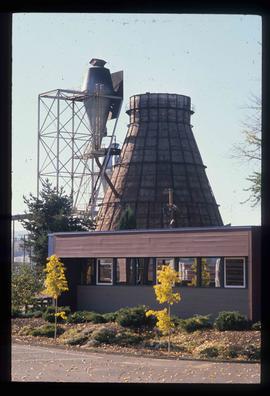
Image depicts a Beehive Burner along the Nechako on River Road. Map coordinates 53°55'34.1"N 122°44'58.0"W
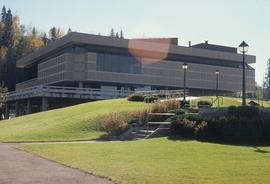
Image depicts the Prince George Public Library (Bob Harkins Branch). Map coordinates 53°54'44.6"N 122°45'01.7"W
Image depicts a neighbourhood on North Meadows Road in Prince George, B.C.
Image depicts a neighbourhood on North Meadows Road in Prince George, B.C.
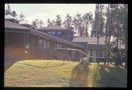
Image depicts Parkside Intermediate Care Home on Ospika Boulevard in Prince George. Map coordinates 53°55'02.6"N 122°47'41.6"W
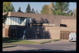
Image depicts the Fort George Regional Museum in Prince George, B.C. Map coordinates 53°54'18.6"N 122°44'09.8"W
Image depicts 3rd Ave at Victoria St. Map coordinates 53°55'03.9"N 122°44'54.8"W
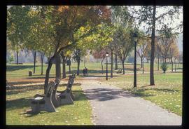
Image depicts the Fort George Par, which was renamed Lheidli T'enneh Memorial Park in 2015. Map coordinates 53°54'30.2"N 122°43'57.4"W
Image depicts the Salvation Army on Ospika Boulevard in Prince George, B.C. Map coordinates 53°55'02.6"N 122°47'41.6"W
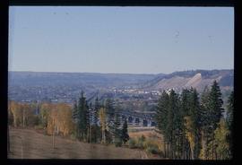
Image depicts a view of Prince George.
Image depicts a view of Tabor Lake.
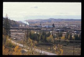
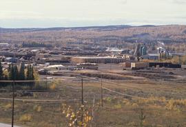
Image depicts the Lakeland Sawmill in Prince George, B.C, identified by the beehive burners; the one with white smoke belonged to Pas Lumber Co. which was bought out by Lakeland in 1987.
Image depicts the Lakeland Sawmill in Prince George, B.C.
The item is a photograph depicting a crowd of people and reporters at the unveiling of the Arrival of Steel monument at 772 1st Avenue, Prince George.
The item is a photograph depicting the unveiling of the Arrival of Steel monument at 772 1st Avenue, Prince George. The focus is on the crowd surrounding the monument. The photograph is taken from across the street. Tilden Truck Rentals can be seen in the background.
The item is a photograph depicting the plaque on the Arrival of Steel monument at 772 1st Avenue, Prince George.
The item is a photograph depicting a snowy hill and trees in Prince George.
File contains slides depicting various places in the USA.
File contains slides depicting recreational activities on Tabor Mountain in Prince George, B.C.
Image depicts a forest of dead trees on the slopes of Tabor Mountain in Prince George, B.C.
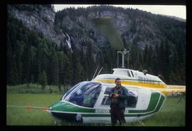
Image depicts a man standing in front of a helicopter; a waterfall is visible on the cliffs in the background. The slide itself is labelled "BC Parks Tour."
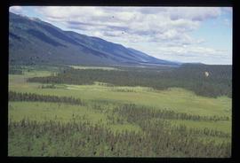
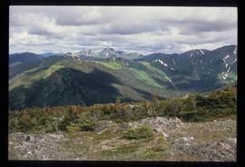
Image depicts a view of James Creek Valley.
