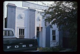
Image depicts an old building with a sign labelled "Northern Rooms" in an uncertain location somewhere in Prince George, B.C.
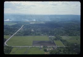
Image depicts Prince George near the Airport Road.
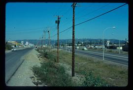
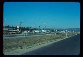
Image depicts Highway 97 at 15th Ave. looking north. Map coordinates 53°54'36.0"N 122°46'55.5"W
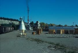
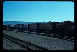
Image depicts the Canadian National Railway Yards in Prince George, B.C.
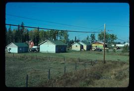
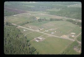
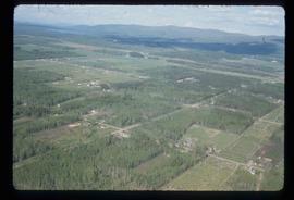
Image depicts a few houses, most likely near the airport in Prince George, B.C.
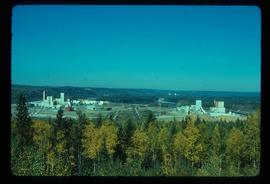
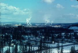
Image depicts two mills; the Intercontinental Pulpmill is on the left side of the tracks in the image and the Prince George Pulp and Paper Mill is located on the right side in Prince George, B.C. The Northwood Pulp Mill can be seen in the distance.
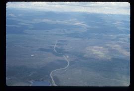
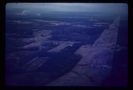
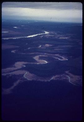
Image depicts an aerial view of the Ahbau area somewhere near Prince George, B.C.
Image depicts a train carrying logs somewhere in Prince George, B.c.
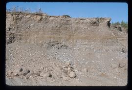
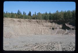
Image depicts layers of gravel at the BCR site in Prince George, B.C.
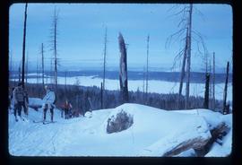
Image depicts a view of the area around Tabor Mountain in Prince George, B.C.
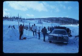
Image depicts a vehicle and a large group of skiers somewhere on Tabor Mountain in Prince George, B.C.
Image depicts a clearing in Prince George, B.C., possibly in the Pineview area.
Image depicts a clearing in Prince George, B.C.
Image depicts Highway 97 at 15th Ave. looking north. Map coordinates 53°54'42.1"N 122°46'53.1"W
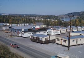
Image depicts mobile homes for sale on Cowart Road looking northeast with Simon Fraser Bridge in background. Map coordinates 53°52'39.3"N 122°46'13.1"W
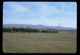
Image depicts Tabor Mountain from the airport in Prince George, B.C.
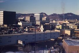
Image depicts Parkwood Place taken from Connaught Hill looking west with the hospital in the background. Map coordinates 53°54'39.9"N 122°45'02.5"W
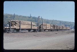
Image depicts a train transporting wood planks, possibly in Prince George, B.C.
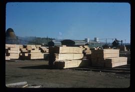
Image depicts numerous blocks of wood planks at a saw mill, possibly Lakeland Mills, somewhere in Prince George, B.C.
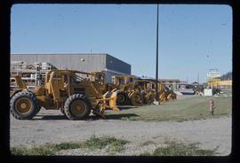
Image depicts numerous tractors at Finning Tractor and Equipment Co. Ltd. located along Highway 97 in Prince George, B.C.
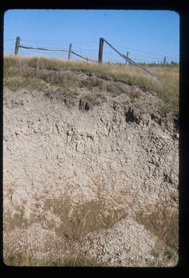
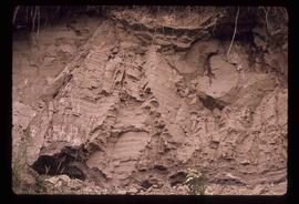
Image depicts an example of varves, an annual layer of sediment or rock, possibly located at the airport in Prince George, B.C.
Image depicts layers of gravel at the BCR site in Prince George, B.C.
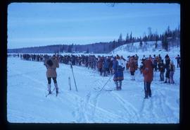
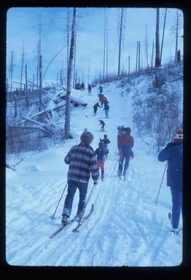
Image depicts a long line of people cross country skiing along the Birchleg route on Tabor Mountain in Prince George, B.C.
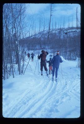
Image depicts numerous skiers cross-country skiing on a trail through trees on the Birchleg Ski route on Tabor Mountain in Prince George, B.C.
Image depicts numerous skiers on the Birchleg Ski route on Tabor Mountain in Prince George, B.C.
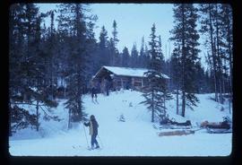
Image depicts numerous skiers at the cabin located at Troll Lake on Tabor Mountain in Prince George, B.C.
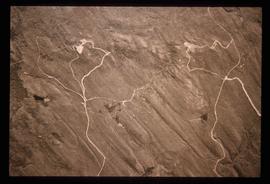
Image depicts grooving on Tabor Mountain in Prince George, B.C.
Image depicts grooves on Tabor Mountain in Prince George, B.C.
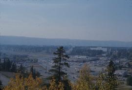
Image depicts a view of Prince George from Carney Hill.
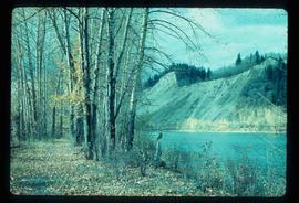
Image depicts a nature trail along the Nechako River at Island Cache looking west with the cutbanks in the background. Map coordinates 53°55'36.2"N 122°45'11.8"W
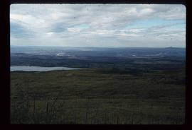
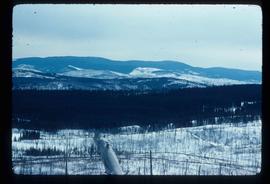
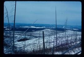
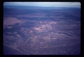
Image depicts the area surrounding Tabor Mountain. Prince George is slightly visible on the left side of the image in the background.
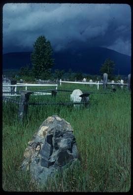
Image depicts a cemetery in the South Fort George suburb of Prince George, B.C.
Image depicts a view of Tabor Mountain in Prince George, B.C.
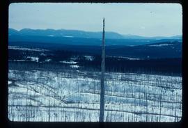
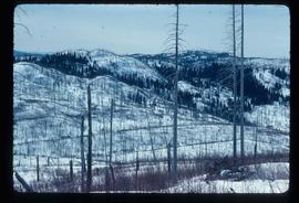
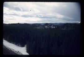
Image depicts a forest of dead trees on the slopes of Tabor Mountain in Prince George, B.C.
Image depicts the area surrounding Tabor Mountain. Prince George is slightly visible in the background.
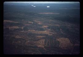
Image depicts a logging area somewhere near Prince George, B.C.
Image depicts power lines east of the pulp mills in Prince George, B.C.
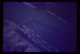
Image depicts the flows from a pulp mill in Prince George, B.C.
Image depicts an esker at the Foothills Boulevard in Prince George, B.C.
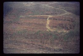
Image depicts an area undergoing logging somewhere in Prince George, B.C.
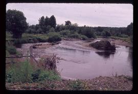
Image depicts Mud River, also known as the Chilako River, at Blackwater Road, Prince George, B.C.
Map depicts boundaries of study areas, including major study area, community study area, and the city of Prince George boundaries.
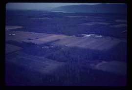
Image depicts an agricultural field, most likely near Prince George, B.C.
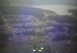
Image depicts the Tabor Lake Subdivision in Prince George, B.C.
Image depicts a logging area somewhere near Prince George, B.C.
Image depicts layers of silt along the Chilako River near Blackwater Road, Prince George, B.C.
Image depicts natural meadows, possibly east of Prince Georg, B.C.
Image depicts downtown Prince George looking northwest across Dominion Street. Map coordinates 53°54'48.7"N 122°44'45.6"W
File contains slides depicting landforms at various locations.
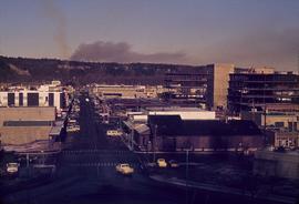
Image depicts a view of Prince George from City Hall looking northeast along George Street. Map coordinates 53°54'46.3"N 122°44'41.9"W
