2013.6.36.1.017.05
·
Pièce
·
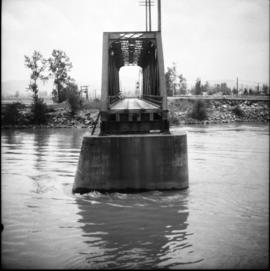
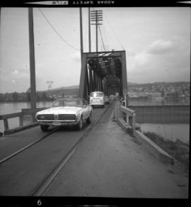
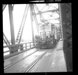
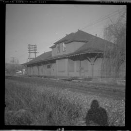
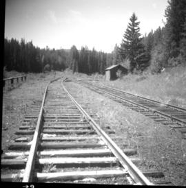
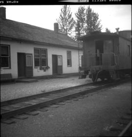
[3 June 1973]
Fait partie de David Davies Railway Collection
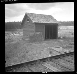
Photograph depicts the CPR at the Huntingdon/Sumas border (BC/Washington State border). A Mission way freight train is standing at about 5 pm, ready to return to Mission. The photo shows CP caboose #436733, built in 1920 out of wood. The border is about 10 ft. behind the camera.