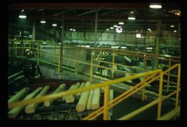
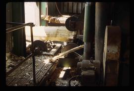
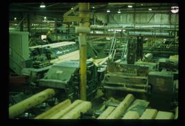
Image depicts the interior of a saw mill somewhere in Prince George, B.C.
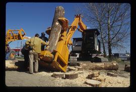
Image depicts two unidentified individuals examining a thick log still attached to the machine that cut it down. It is located somewhere in Prince George, B.C.
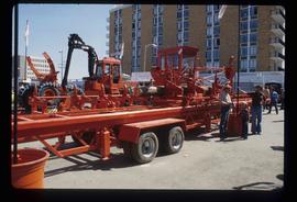
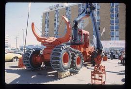
Image depicts several pieces of heavy machinery used in forestry. The Coast Inn of the North is seen in the background.
Image depicts several pieces of heavy machinery used in forestry. The Coast Inn of the North is seen in the background.
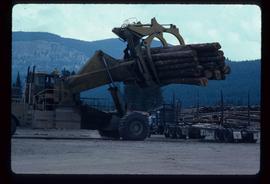
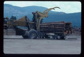
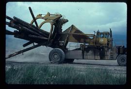
Image depicts a piece of heavy machinery lifting numerous logs off the back of a logging truck. It is likely located in Prince George, B.C.
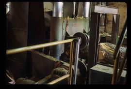
Image depicts machinery in a saw mill somewhere in Prince George, B.C.
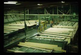
Image depicts wood planks in the interior of a saw mill somewhere in Prince George, B.C.
Image depicts a piece of heavy machinery lifting numerous logs off the back of a logging truck. It is likely located in Prince George, B.C.
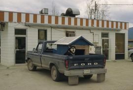
Image depicts a dog and dog house in the back of a pick-up somewhere near Prince George, B.C.
Image depicts machinery stripping a log of its bark in a saw mill somewhere in Prince George, B.C.
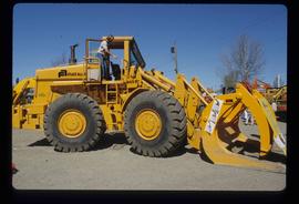
Image depicts an unidentified individual examining a piece of heavy machinery used in the forestry industry. It is located in Prince George, B.C.
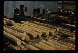
Image depicts numerous stripped logs and several unidentified individuals in hard hats at a saw mill somewhere in Prince George, B.C.
Image depicts logs being cut into planks in the interior of a saw mill somewhere in Prince George, B.C.
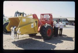
Image depicts two unidentified individuals examining a tractor meant to delimb trees. It is located in Prince George, B.C.
Image depicts a piece of heavy machinery lifting numerous logs. It is likely located in Prince George, B.C.
Item is a map depicting the Vancouver Carney study neighbourhood area in Prince George.
Item is a map depicting land use in the Vancouver Carney study neighbourhood area in Prince George. Also includes two mylar overlays that show the outlines of "unit 2" and "unit 3" development areas.
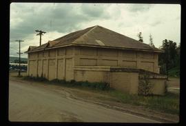
Image depicts a powerhouse in Prince George, B.C.
Image depicts a powerhouse in Prince George, B.C.
Item is the Proposed Land Use Map, 1978-2012, referred to in By-law No. 3138, the City of Prince George Official Community Plan. The original draft of this map was completed on October 24, 1977. This version of the map was amended in July 1982.
Item is a map depicting the areas of spring and fall shadow in the Peden Hill neighbourhood in Prince George.
Item is a map depicting a future medium density development plan for the Peden Hill neighbourhood in Prince George.
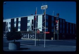
Image depicts the Prince George Hotel.
Item is a map depicting a future low density development plan for the Peden Hill neighbourhood in Prince George.
Item is a map depicting a future high density development plan for the Peden Hill neighbourhood in Prince George.
Item is a map depicting the areas of winter shadow in the Peden Hill neighbourhood in Prince George.
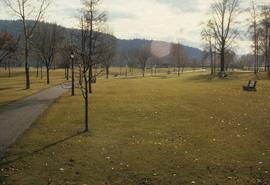
Image depicts the Fort George Park. Map coordinates 53°54'30.2"N 122°43'57.4"W
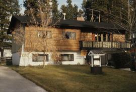
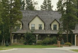
Image depicts a Bavarian style house at College Heights in Prince George, B.C.
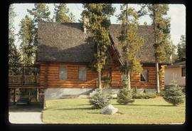
Image depicts a log house located somewhere on Kerry Street in Prince George, B.C.
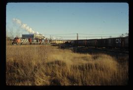
Image depicts two trains in Prince George, B.C.
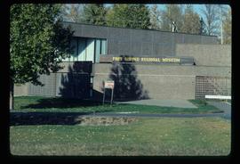
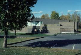
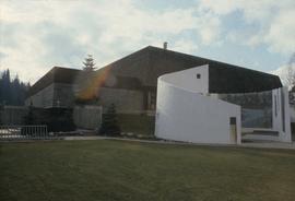
Image depicts the Fort George Regional Museum in Prince George, B.C.
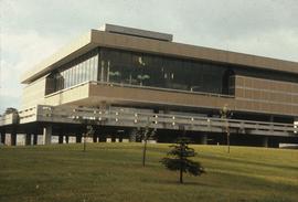
Image depicts the Prince George Public Library (Bob Harkins Branch). Map coordinates 53°54'43.1"N 122°44'56.4"W
Image depicts the Fort George Regional Museum (now known as The Exploration Place) in Prince George, B.C. Map coordinates 53°54'18.6"N 122°44'09.8"W
Image depicts the Four Seasons Leisure Pool, and the Centennial Fountain in Prince George, B.C. Map coordinates 53°54'48.5"N 122°44'49.2"W
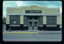
Image depicts the BC Liquor Store in Prince George, B.C.
Image depicts a Cariboo Ranch style house at College Heights in Prince George, B.C.
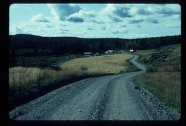
Image depicts a house on Blackwater Road.
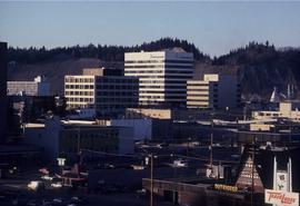
Image depicts downtown Prince George looking northwest. Map coordinates 53°54'48.7"N 122°44'45.6"W
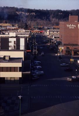
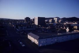
Image depicts a view of Prince George from City Hall looking northeast along George Street. Map coordinates 53°54'46.3"N 122°44'41.9"W
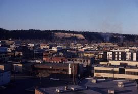
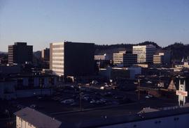
Image depicts downtown Prince George taken from City Hall looking north. Map coordinates 53°54'46.2"N 122°44'43.9"W
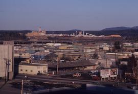
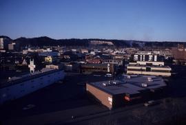
Image depicts a view of Prince George from City Hall looking northeast with the pulp mills in the background. Map coordinates 53°54'46.3"N 122°44'41.9"W
Image depicts downtown Prince George taken from City Hall looking north. Map coordinates 53°54'46.2"N 122°44'43.9"W
Image depicts downtown Prince George taken from City Hall looking northwest. Map coordinates 53°54'46.2"N 122°44'43.9"W
Image depicts downtown Prince George taken from City Hall looking northwest. Map coordinates 53°54'46.2"N 122°44'43.9"W
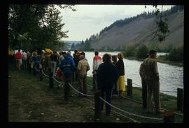
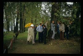
Image depicts a large crowd of people on a section of the Heritage Trail on Cottonwood Island in Prince George, B.C.
Image depicts a crowd of people in Cottonwood Park in Prince George, B.C.
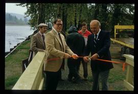
Image depicts Elmer Mercier, a former mayor of Prince George, B.C., cutting the ribbon to open Cottonwood Park's Heritage Trail.
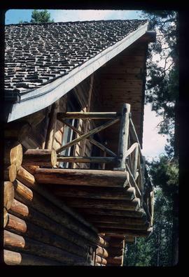
Image depicts the balcony of a log house, likely somewhere in or near Prince George B.C.
Image depicts a the Cottonwood Island Nature Park sign and map in Prince George, B.C.
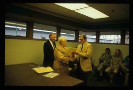
Image depicts a man and woman shaking hands in a building at an uncertain location, possibly in Cottonwood Park. The man standing behind the two is possibly Elmer Mercier, a former mayor of Prince George, B.C.

![Vancouver Carney Study [Existing Land Use]](/uploads/r/northern-bc-archives-special-collections-1/d/8/4/d841cd29016ddb96663d51e137bd7a3b7c4dfe3ec645baca199615e3e4464da3/2023.5.1.21a_-_Vancouver_and_Carney_Study_Area_Existing_Land_Use_JPG85_tb_142.jpg)
![Proposed Land Use 1978-2012, Official Community Plan, City of Prince George [1982 Amendment]](/uploads/r/northern-bc-archives-special-collections-1/6/6/9/669fc9dc3b840a6896f6a2a968a948283a3c5d972b6b48d718b427a57ebbe67f/2023.5.1.22_-_1982_-_Proposed_Land_Use_1982-2012_JPG85_tb_142.jpg)


