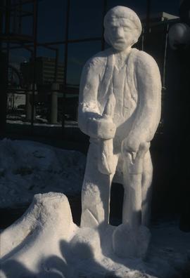
Image depicts a snow sculpture of a man with a shovel, possibly during the Winter City Conference, in Prince George, B.C. Taken at the Prince George Civic Center. Map coordinates 53°54'45.6"N 122°44'59.6"W
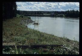
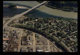
Image depicts the Northwood Bridge crossing in Prince George B.C.
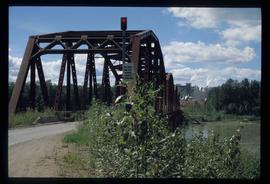
Image depicts the Northwood Bridge in Prince George, B.C.
The item is the millennium edition of The Prince George Free Press. The "Millenium Report" was one of two different inserts in an unknown December 1999 issue. The edition contains information about Prince George's past and speculation as to where Prince George will be in the future.
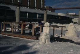
Image depicts two snow sculptures near a wooden bridge on an ice rink, possibly during the Winter City Conference, in Prince George, B.C. Taken at the Prince George Civic Center. Map coordinates 53°54'45.6"N 122°44'59.6"W
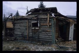
Image depicts a house in the process of being demolished in Prince George, B.C.
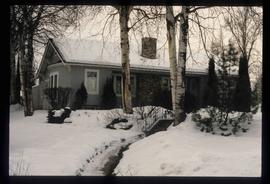
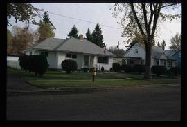
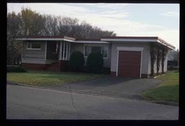
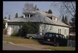
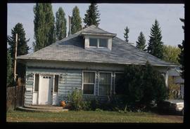
Photograph depicts a residential building at 1601 6th Avenue, the corner of 6th Avenue and Vancouver Street. Annotation on verso: "CUTE c-7, union, Vancouver/ 6th".
Photograph depicts a residential building at 1648 8th Avenue. Annotation on verso: "1648 - 8th, next to Rosel's".
Photograph depicts a residential building at 1625 4th Avenue. Annotation on verso: "Loedel proposal, 1625 - 4th, (see above)".
Photograph depicts a residential building on the corner of Vancouver Street and 10th Avenue. Annotation on verso: "Trick house, Vancouver/ 10th".
Photograph depicts a residential building at the corner of 6th Avenue and Winnipeg Street. Annotation on verso: "NE corner, 6th / Winnipeg".
Photograph depicts the Europe Hotel on 3rd Avenue.
Photograph depicts the old post office and federal government building at 1299 3rd Avenue prior to the coat of arms removal. Annotation on verso: "fed. govt bldg, (post office), c. 1990, before, coat of arms, removal".
Photograph depicts a parking lot and alleyway behind the Europe Hotel on 3rd Avenue.
Photograph depicts a Rental and repair shop on 3rd Avenue.
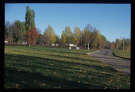
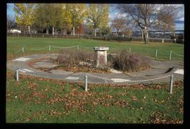
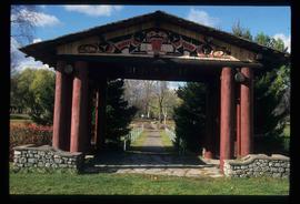
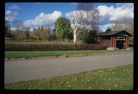
Image depicts the Lheidli T'enneh Burial Grounds in Fort George Park.
Image depicts the Lheidli T'enneh Burial Grounds in Fort George Park.
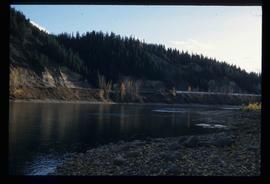
Image depicts the Fraser River at Paddlewheel park, with a train on the other side of the river, in Prince George B.C.
Image depicts 1425 Taylor Drive in Prince George, B.C.
Image depicts houses on Dogwood Street in the Millar Addition neighbourhood of Prince George, B.C. On the left is 1610 Dogwood Street and 1630 Dogwood Street is the middle house; 1650 Dogwood Street is the blue house on the right.
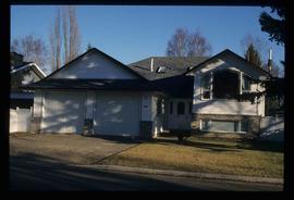
Image depicts 411 Patricia Boulevard in Prince George, B.C.
Image depicts 1566 Ingledew Street in Prince George, B.C.
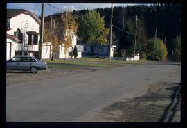
Image depicts Ash Street and Patricia Boulevard in Prince George, B.C.
File consists of records created and collected by Kent Sedgwick regarding the Heritage River Trails System and surrounding park areas in Prince George such as Cottonwood Island Park. Highlights include:
- Full page newspaper feature in The Citizen written by Kent Sedgwick that includes a detailed history of Cottonwood Island Park and the River Trails as well as a contest for naming the trail system (2 Nov. 1984)
- Graham Farstad, Director of Planning, City of Prince George, "Prince George's Heritage River Trail System" document, May 1986
- records relating to the dedication plaque for the opening of the trails
- "Heritage River Trails: A Guide to the Pathways along the Fraser and Nechako Rivers, Prince George, British Columbia" brochures created by Kent Sedgwick
- map on transparency depicting the Heritage River Trails System
Photograph depicts KLM Engineering Ltd. at 1924 3rd Avenue. Annotation on verso: "KLM c-7, Native Head Start program?".
Photograph depicts a residential building at 825 Vancouver Street. Annotation on verso: "Van Horlick c-7".
Photograph depicts a residential building at 1617 8th Avenue. Annotation on verso: "1617 - 8th Ave".
Photograph depicts a residential building at 1795 10th Avenue. Annotation on verso: "1795 - 10th Ave, SE corner of, Winnipeg".
Photograph depicts the Europe Hotel on the South side of 3rd Avenue. Annotation on verso: "Europe Hotel".
Photograph depicts various businesses along 3rd Avenue. The businesses include the Europe Hotel and The Bay in the background. Annotation on verso: "left Europe Hotel, right shearer bldg".
Photograph depicts the Hong Kong Inn and restaurant at 1210 3rd Avenue. Annotation on verso: "Dredaute Bldg c. 1948".
Photograph depicts Buchanan Benson Real Estate and Insurance at 1276 4th Avenue.
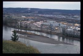
Image depicts the Northwood Pulpmill in Prince George, B.C. taken from above the Nechako River looking east. Map coordinates 53°56'00.0"N 122°44'29.7"W
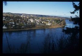
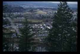
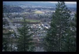
Image depicts a view of Prince George from an uncertain location.
Image depicts the Lheidli T'enneh Burial Grounds in Fort George Park.
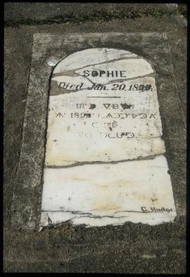
Image depicts a grave-marker in the Lheidli T'enneh Burial Grounds in Fort George Park.
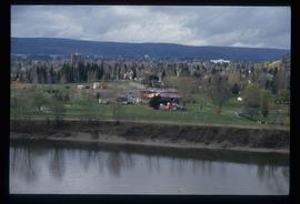
Image depicts a view of Prince George.
Image depicts a view of Prince George.
Image depicts a sawmill in Prince George, B.C.
Image depicts 1566 Ingledew Street in Prince George, B.C.
Image depicts 1480 Birch Street in Prince George, B.C.
Image depicts Prince George Sawmill taken from across the Nechako River looking southwest. Map coordinates 53°56'00.0"N 122°44'29.7"W
File contains slides depicting places along the Hart Highway.
Photograph depicts a residential building at 1722 7th Avenue. Annotation on verso: "1722 - 8th Ave".
Photograph depicts a residential building at 1770 5th Avenue. Annotation on verso: "1770 - 5th Ave".
Photograph depicts a residential building at 1651 5th Avenue. Annotation on verso: "1651 - 5th Ave".
Photograph depicts residential buildings along 4th Avenue east of Winnipeg Street. Annotation on verso: "series on s. side of, 4th east from Winnipeg, (railway houses)".
Image depicts an uncertain street in Prince George, B.C.
Image depicts the Lheidli T'enneh Burial Grounds in Fort George Park.
Image depicts a view of Prince George.
