2000.1.1.3.19.087
·
Pièce
·
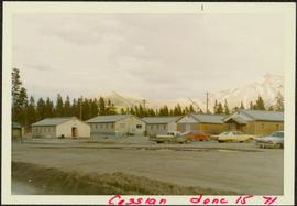
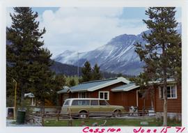
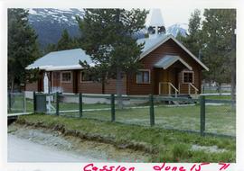
15 June 1971
Fait partie de Cassiar Asbestos Corporation Ltd. fonds
Photograph depicts fenced church building with what appears to be speakers mounted on roof above main entry. Road and trees in foreground, mountains in background. Handwritten annotation on verso of photograph: "Cassiar June 15 71".