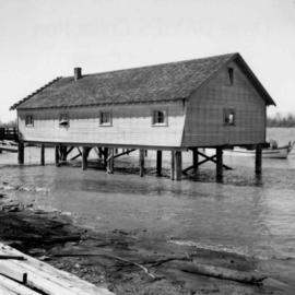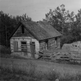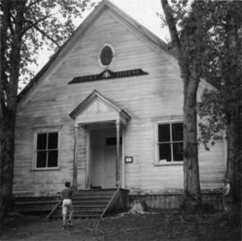
2013.6.36.1.078.04
·
Stuk
·
[July 1966]
Part of David Davies Railway Collection
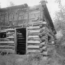
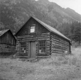
Photograph depicts a log cabin that was inhabited by an older aboriginal man who is visible in the window. The cabin was perhaps 100 years old.