2000.1.1.2.1.147
·
Stuk
·
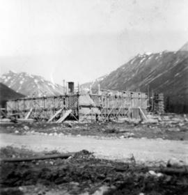
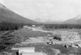
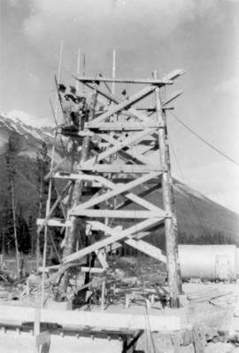
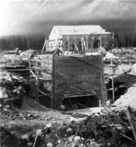
21 July 1952
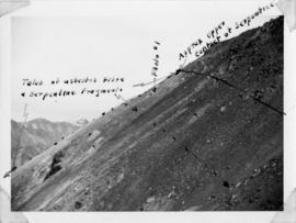
Part of Cassiar Asbestos Corporation Ltd. fonds
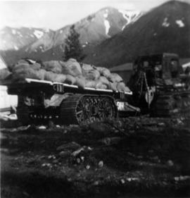
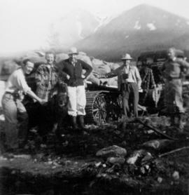
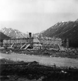
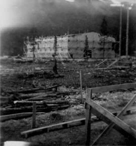
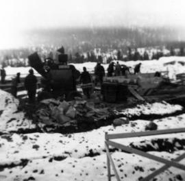
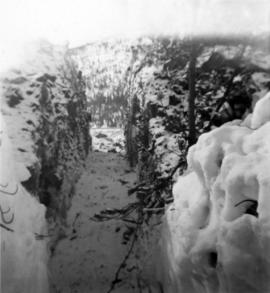
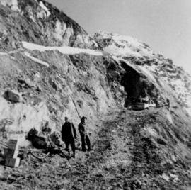
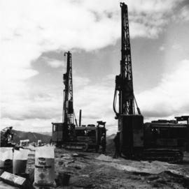
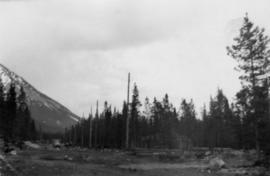
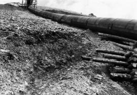
Photograph depicts dirt area. Shrubs, snow-covered area, and mountains in background. Corresponding note on accompanying photo description page: "6. Wash-out and rock slide in second gully containing snow."