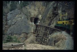
Image depicts the White Pass Train entering a tunnel in the mountain side.
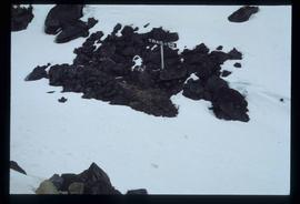
Image depicts a patch of snow-covered ground with a sign that reads "Trail of 98," somewhere along the White Pass railway.
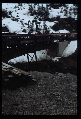
Image depicts the White Pass Train crossing over a railway bridge at an uncertain location in the mountains.
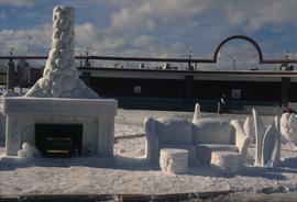
Image depicts a snow sculpted fire place and couch on a skating rink, possibly during the Winter City Conference, in Prince George, B.C. Taken at the Prince George Civic Center. Map coordinates 53°54'45.6"N 122°44'59.6"W
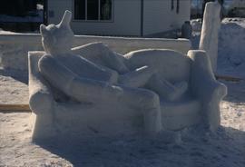
Image depicts a snow sculpture of the Mr. P.G. lounging on a couch, possibly during the Winter City Conference, in Prince George, B.C. Taken at the Prince George Civic Center. Map coordinates 53°54'45.6"N 122°44'59.6"W
File contains slides depicting Highway 16 West, from Isle Pierre to Hazelton.
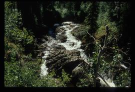
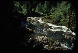
Image depicts the Tsilcoh Falls, north of Fort St. James and somewhere near Pinchi Lake Road.
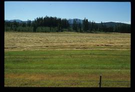
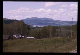
Image depicts a field along Telegraph Road, south-west of Vanderhoof, B.C.
Image depicts a field along Telegraph Road, south-west of Vanderhoof, B.C.
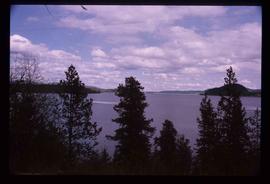
Image depicts a view of the Fraser Lake.
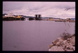
Image depicts a boat on the Nechako Reservoir at Kenny Dam.
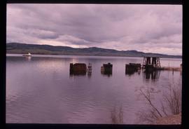
Image depicts a boat dock on the Nechako Reservoir at Kenny Dam.
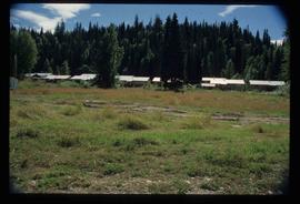
Image depicts a row of houses in Upper Fraser, B.C. Map coordinates 54°06'51.6"N 121°56'26.3"W
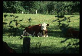
Image depicts a cow at an uncertain location.
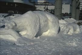
Image depicts a snow sculpture of a bear, possibly during the Winter City Conference, in Prince George, B.C. Taken at the Prince George Civic Center. Map coordinates 53°54'45.6"N 122°44'59.6"W
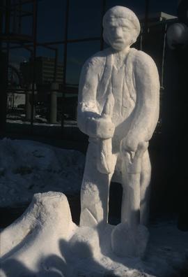
Image depicts a snow sculpture of a man with a shovel, possibly during the Winter City Conference, in Prince George, B.C. Taken at the Prince George Civic Center. Map coordinates 53°54'45.6"N 122°44'59.6"W
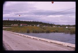
Image depicts the Northwood Bridge crossing in Prince George B.C.
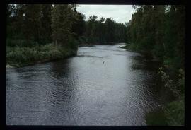
Image depicts the Pack River outlet at McLeod Lake.
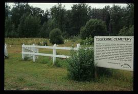
Image depicts the Tsek'enhe cemetery at McLeod Lake.
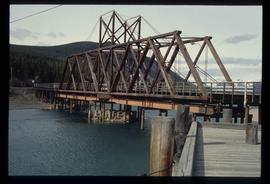
Image depicts what appears to be a footbridge at an uncertain location.
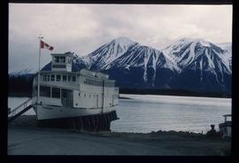
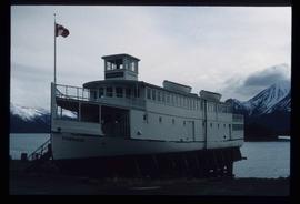
Image depicts a boat named "the Tarahne," which is located in Atlin, B.C. Atlin Lake and Mountain are visible in the background.
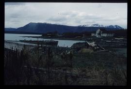
Image depicts a dock on the shore of Atlin Lake, as well as a building that may have once been a hospital. The slide is simply labelled "hospital."
Image depicts a boat named "the Tarahne," which is located in Atlin, B.C. Atlin Lake and Mountain are visible in the background.
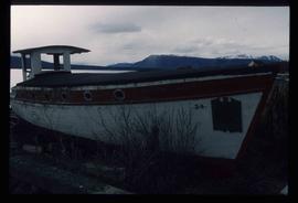
Image depicts an old boat on the shore of Atlin Lake.
Image depicts a small section of the Alaska Highway somewhere near Whitehorse, Y.T. The slide also appears to be labelled "army washing" for unknown reasons.
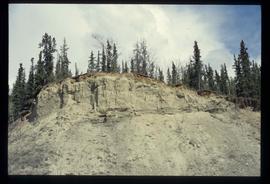
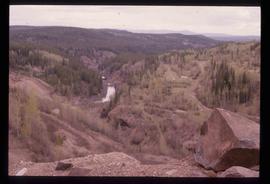
Image depicts what appears to be an eroding rock face. The slide itself is labelled "ash loger at top" for unknown reasons. Possibly located somewhere near Whitehorse, Y.T.
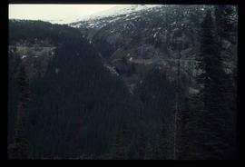
Image depicts a forested mountain side somewhere along the White Pass railway. The thin ridge along the mountain side is possibly either a highway or part of the railway.
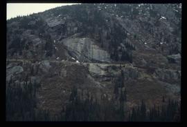
Image depicts a mountain side somewhere along the White Pass railway. The thin ridge along the mountain side is possibly either a highway or part of the railway.
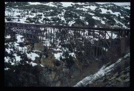
Image depicts an old trestle along the White Pass railway.
Image depicts the Tsilcoh Falls, north of Fort St. James and somewhere near Pinchi Lake Road.
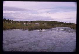
Image depicts Nautley and the Nautley River near Fraser Lake, B.C.
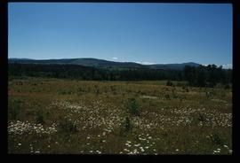
Image depicts a section of land on the east end of Francois Lake. The lake is visible in the distance.
Image depicts Kenny Dam, south of Francois Lake, and southwest of Vanderhoof, B.C.
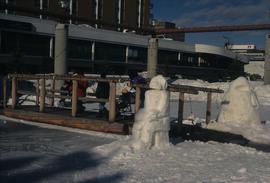
Image depicts two snow sculptures near a wooden bridge on an ice rink, possibly during the Winter City Conference, in Prince George, B.C. Taken at the Prince George Civic Center. Map coordinates 53°54'45.6"N 122°44'59.6"W
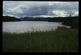
Image depicts McLeod lake.
Image depicts Nautley and the Nautley River near Fraser Lake, B.C.
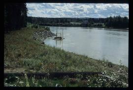
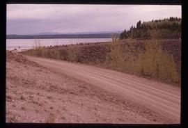
Image depicts a stretch of land; the photo was taken from the top of Kenny Dam, south of Francois Lake.
File contains slides depicting places in the area around Williams Lake, Clinton, and the Fraser Canyon.
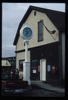
Image depicts the post office in Atlin, B.C.
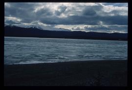
Image depicts a lake somewhere along what is possibly the Atlin Road to Atlin, B.C.
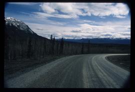
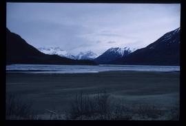
Image depicts what is possibly Atlin Road. Numerous mountains are visible in the distance.
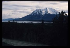
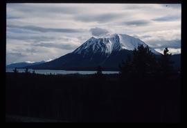
Image depicts a mountain, possibly Atlin Mountain.
Image depicts a mountain, possibly Atlin Mountain.
Image depicts Bennett Lake near Carcross, Y.T.
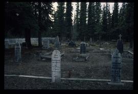
Image depicts numerous graves in the Atlin Cemetery.
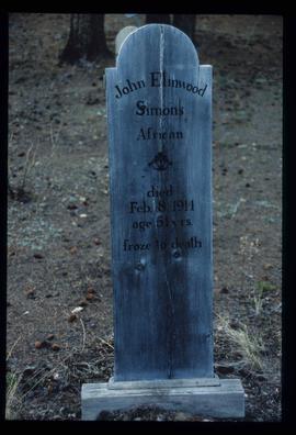
Image depicts the grave of John Elmwood Simons in the Atlin Cemetery. It reads: "died Feb. 8, 1914, age 61 yrs. froze to death."
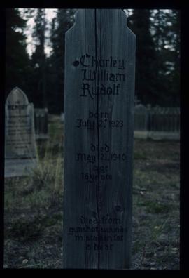
Image depicts the grave of Charley William Rudolf in the Atlin Cemetery. It reads: "Born July 2, 1923. Died May 21, 1940. Age 16 years. Died from gunshot wounds, mistaken for a bear."
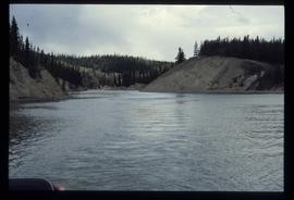
Image depicts a river at an uncertain location, but possibly in Miles Canyon near Whitehorse, Y.T.
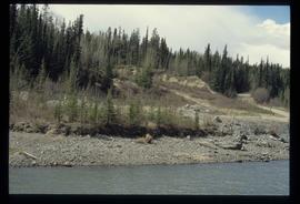
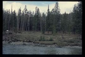
Image depicts numerous trees on the bank of a river, possibly in Miles Canyon near Whitehorse, Y.T. The slide is labelled "canyon city."
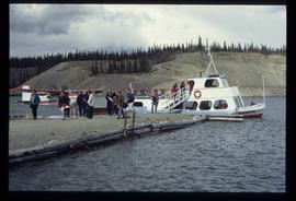
Image depicts numerous unidentified individuals getting off a boat which bears the name "Schwatka." It is located somewhere in Miles Canyon.
