Photograph depicts Sid Marty and Moni at "Words, Loves" conference.
Photograph depicts Jon Furberg at "Words, Loves" conference.
Photograph depicts David Phillips at "Words, Loves" conference.
Photograph depicts Harvey Chometsky at "Words, Loves" conference.
Photograph depicts George Bowering at "Words, Loves" conference.
Photograph depicts Attendees at "Words, Loves" conference.
Photograph depicts Robert Creeley at "Words, Loves" conference.
Photograph depicts Barry McKinnon at "Words, Loves" conference.
Photograph depicts Barry McKinnon and Robert Creeley reading at podium at "Words, Loves" conference.
Photograph depicts Attendee at "Words, Loves" conference.
Photograph depicts Morris Donaldson at "Words, Loves" conference.
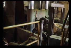
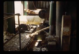
Image depicts machinery in a saw mill somewhere in Prince George, B.C.
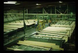
Image depicts wood planks in the interior of a saw mill somewhere in Prince George, B.C.
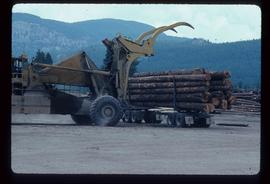
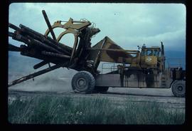
Image depicts a piece of heavy machinery lifting numerous logs off the back of a logging truck. It is likely located in Prince George, B.C.
Photograph depicts Peter Huse at "Words, Loves" conference.
Photograph depicts Attendees at "Words, Loves" conference.
Photograph depicts Barry McKinnon at "Words, Loves" conference.
Photograph depicts Robert Creeley at "Words, Loves" conference.
Item consists of transcript of taped interview with former railway conductor Alex Clapperton conducted by Bob Harkins at Prince George Radio Station, CJCI regarding his career as a railway conductor with Pacific Great Eastern Railway. Clapperton also discusses memories of growing up in Prince George.
Harkins, BobItem consists of transcript and tape summary of interview with musician Max Sexsmith, member of the Rhythm Ranch Hands musical group. Sexsmith discusses history of the musical group formed in Prince George in1950. Promotes reunion dance with the group to be held Sept 8, 1980.
Harkins, BobFile consists of 1 audiocassette of interviews by Bob Harkins with Bill Stanton, city coroner who discusses the work of coroner. Also an interview with Liz McGillivray, director of the Prince George Music Festival Society.
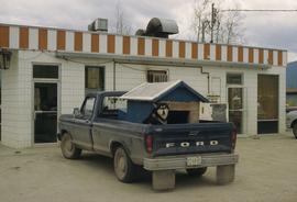
Harkins, BobImage depicts a dog and dog house in the back of a pick-up somewhere near Prince George, B.C.
Image depicts machinery stripping a log of its bark in a saw mill somewhere in Prince George, B.C.
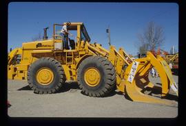
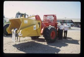
Image depicts an unidentified individual examining a piece of heavy machinery used in the forestry industry. It is located in Prince George, B.C.
Photograph depicts Robin Blaser and Robert Creeley at "Words, Loves" conference.
Photograph depicts Peter Huse and Brian Fawcett at "Words, Loves" conference.
Photograph depicts Eleanor Crowe and Brett Enemark at "Words, Loves" conference.
Photograph depicts Bob Affleck at "Words, Loves" conference.
Photograph depicts George Bowering and Barry McKinnon at "Words, Loves" conference.
Photograph depicts Barry McKinnon and Robin Blaser at "Words, Loves" conference.
Photograph depicts Colin Browne, Marilyn Bowering, Ken Belford, Sharon Harris, and Joy McKinnon at "Words, Loves" conference.
Photograph depicts Barry McKinnon at "Words, Loves" conference.
File contains slides depicting the growth of Prince George.
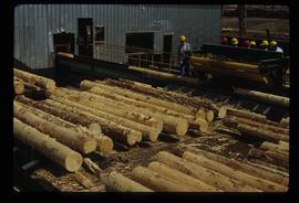
Image depicts numerous stripped logs and several unidentified individuals in hard hats at a saw mill somewhere in Prince George, B.C.
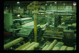
Image depicts logs being cut into planks in the interior of a saw mill somewhere in Prince George, B.C.
Image depicts two unidentified individuals examining a tractor meant to delimb trees. It is located in Prince George, B.C.
Image depicts a piece of heavy machinery lifting numerous logs. It is likely located in Prince George, B.C.
Item consists of transcript and tape summary of interview with Tom Waller who discusses fire protection and forest fires in the Prince George and Peace River region.
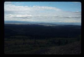
Harkins, BobImage depicts a view of the landscape surrounding Tabor Mountain in Prince George, B.C.
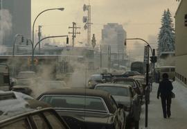
Image depicts Brunswick Street at 3rd Ave in -35 degree weather. Map coordinates 53°55'03.0"N 122°44'51.7"W
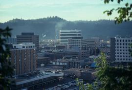
Image depicts the Central Business District of Prince George looking north from Connaught Hill. Map coordinates 53°54'41.4"N 122°44'58.5"W
Image depicts a view of Prince George from Gunn Point in the L.C. Gunn Park looking north. Map coordinates 53°54'26.2"N 122°43'35.8"W.
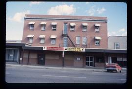
Image depicts the Columbus Hotel in Prince George, which was destroyed by a fire in 2008.
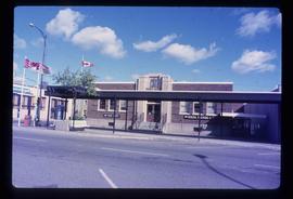
Image depicts the Canadian Forces Recruiting Centre on the north side of 3rd Ave in Prince George, B.C.
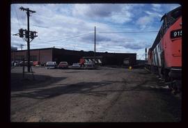
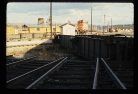
Image depicts trains at the Grand Trunk Pacific railway roundhouse in Prince George, B.C.
Image depicts the Grand Trunk Pacific railway roundhouse in Prince George, B.C.
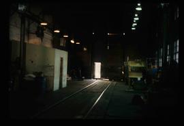
Image depicts the interior of the GTP roundhouse in Prince George, B.C.
File consists of maps and plans depicting the Cottonwood Island area in Prince George. Includes:
- "Plan of Subdivision pursuant to the replotting provisions of the Municipal Act of Parcel A of Plan 25046, of District Lots 343, 662, 1511, 4736, and 7813, Cariboo District" by McWilliam, Whyte, Goble & Associates B.C. Land Surveyors for the City of Prince George, 26 July 1979 (reproduction on 2 sheets)
- "Cottonwood Island" original draft map with annotations by Kent Sedgwick; the map may have been created by Sedgwick during his time as Senior City Planner with the City of Prince George [197-?]
- "Prince George B.C., Fraser Subdivision, Mile 146.05" plan for Canadian National Railways by Lockwood Survey Corporation Ltd., 1967. This very large technical drawing shows CN leases and private property buildings on Island Cache in detail.
- McWilliam-Whyte-Goble & Associates, B.C. Land Surveyors, "Plan Showing Sections in Proposed Lakeland Mill Site", July 1978 (original reproduction).
- Carroll, Hatch & Associates, "Lakeland Mills (1973) Ltd., Prince George, B.C., Stud Mill Studies, Site Plan", 31 July 1978 (original reproduction).
Map reproduction depicts major areas of the Aleza Lake Experiment Forest.
Item consists of transcript and tape summary of interview with Tom Payne who discusses his life, emigration from England, service in World War I, and career as shoemaker in Quesnel. Also discusses his subsequent work at the Experimental Farm in Prince George
Harkins, Bob