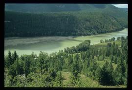
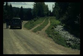
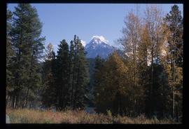
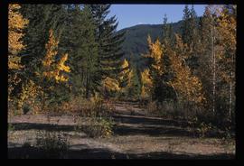
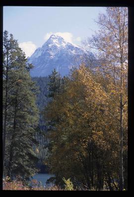
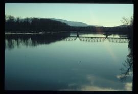
Image depicts a forest and river in Soda Creek, B.C.
File consists of notes, clippings, and reproductions relating to Kent Sedgwick's guest lecture at the University of Northern British Columbia on Prince George. Includes: "Situating Prince George" handwritten lecture notes by Kent Sedgwick (2006) and "Geography of British Columbia" university syllabus (2003). Also includes a CD-R "Situating P.G". containing Kent Sedgwick's notes and photographs (Mar. 2006).
File contains slides depicting Highway 97 South.
Image depicts the Dunlevy Creek area somewhere near Dawson Creek, B.C. The slide is simply labelled "Dunlevy irrigation" for uncertain reasons.
File consists of notes, clippings, and reproductions relating to the South Fort George townsite. Includes "Name change from Glenora Park to Paddlewheel Park" typescript letter from Kent Sedgwick to The Mayor and Council (12 Sept. 1988).
File consists of notes, clippings, and reproductions relating to the Chilcotin region. Includes: "CNC Outdoors Club Trip to Farewell Canyon" poster (Nov. 1973).
File consists of reproductions and bibliographic references relating to Monkman Provincial Park.
File consists of notes and printed photographs relating to the East Line. The file includes photographs that depict various areas on the Upper Fraser and within the communities, including Dome Creek; Sinclair Mills; Penny; Grand Canyon; and Crescent Spur (between 1999 and 2005).
File consists of notes relating to the East Line and field trips taken for research.
File consists of aeriel photographs depicting the Fraser River Big Bend, where the Fraser River changes direction from westbound to southbound at its "Big Bend" near the Huble Homestead Historic Site, 45 km north of Prince George, British Columbia.
File consists of notes, clippings, and reproductions relating to Mount Robson and the Red Pass. Also includes photographs reproduced in 1982 depicting the Mount Robson Ranch (date of original photographs unknown).
File consists of notes, photocopies, and reproductions of maps of the East Line.
File consists of notes and reproductions relating to climate in Prince George. Includes: "Annual meteorology summary Prince George, B.C". document from Environment Canada (1989).
File consists of notes and reproductions relating to place-based computing geography methodology regarding inter-disciplinary research on experiences of place to teach history and geography and used by Kent Sedgwick.
File consists of clippings, notes, and reproductions relating to Fort George Park (renamed in 2015 to Lheidli T'enneh Memorial Park). Includes: "Fort George Park" typescript document; "Plan No17962" reproduction of downtown map and plan no 17962 (1969); "Fort George Park" handwritten notes by Kent Sedgwick; and "Park No. JK 85 Fort George Park" map depicting plans for Fort George Park (28 June 1978).
File consists of notes and reproductions relating to maps and mapping in British Columbia. File primarily consists of resources from the University of Northern British Columbia, the College of New Caledonia, the Prince George Public Library, and printed secondary sources for where to find maps, mapping techniques, how to produce maps, and surveying processes. Includes: "Prince George and District map collection finding aid" typescript document from the Fraser-Fort George Regional Museum and Archives (Oct. 1989).
File consists of notes and reproductions relating to the Hudson's Bay Company subdivision. Includes material on the subdivision, survey, and sale of lands in Fort George owned by the Hudson's Bay Company.
File consists of notes, clippings, and reproductions relating to Mcbride and Dunster. Includes photographs depicting the Croyden cemetery and the Dunster ferry site (2005).
File consists of notes, clippings, and reproductions relating to historical and contemporary natural resource surveys in British Columbia. Includes material on oil discovery, farming conditions, timber stands, the Alaskan Highway, and railway development. File predominantly consists of search results from the University of Northern British Columbia library, College of New Caledonia library, and Prince George Public Library regarding British Columbia's natural resource surveying.
File consists of notes and reproductions relating to the East Line Section of the Grand Trunk Pacific Railway in Central British Columbia.
File consists of aerial photographs depicting the Fraser River Big Bend, where the Fraser River changes direction from westbound to southbound at its "Big Bend" near the Huble Homestead Historic Site, 45 km north of Prince George, British Columbia.
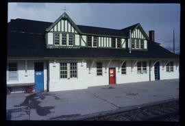
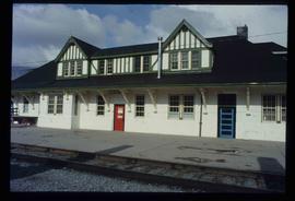
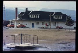
Image depicts the CN Station in McBride, B.C.
Image depicts the CN Station in McBride, B.C.
Image depicts the rear-end of the CN Station in McBride, B.C.
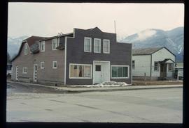
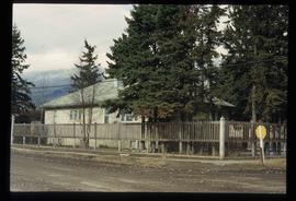
Image depicts an old house somewhere in McBride, B.C.
Image depicts a machine shop somewhere in McBride, B.C. The sign above the door reads "McBride Air Cooled Engine Services Ltd."
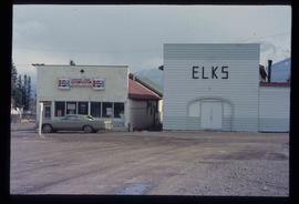
Image depicts the Elks Hall in McBride, B.C.
File contains slides depicting places along the east line of the BC Railway.
File contains slides depicting CN locations east of Prince George.
File consists of notes, clippings, and reproductions relating to the British Columbia Historical Federation (BCHF) conference of 2003. Includes: the 2003 BCHF conference schedule, titled "Work and Society: Perspectives on Northern BC History" (May 2003); "RE: BC Historical Federation Conference" typed letter from the Regional District of Fraser-Fort George to Kent Sedgwick (24 Feb. 2003); and "Organizing Committee Members" typed letter from the City of Prince George to Kent Sedgwick (17 Feb. 2003).
File consists of notes, clippings, and reproductions relating to a book chapter titled "Frontier Outpost to 'Northern Capital': the functional transformation of Prince George, B.C., Canada" written by Kent Sedgwick and Greg Halseth for "Beyond the Metropolis: Urban Geography as if Small Cities Mattered". Includes: "RE: Book Chapters" printed email from Ben Ofori-Amoah to Greg Halseth and Kent Sedgwick (14 Sept. 2004). Includes a CD containing notes and material relating to the book chapter co-written by Kent Sedgwick and Greg Halseth (2004).
File consists of notes and reproductions relating to historical geography methodology.
File consists of notes, clippings, and reproductions relating to bibliographic references about the central interior of British Columbia. Includes: "Pioneers of the Central Interior" pamphlet from the Prince George Public Library (Nov. 1986) and "Manitoba Department of Tourism and Cultural Affairs" typescript letter from Shirlee Anne Smith to Frank Leonard (9 May 1980).
File consists of reproductions and pamphlets relating to outdoor recreation in Prince George. Includes material regarding bird watching, fishing, hiking, and regional and provincial parks. Includes: "Prince George Backroads" clipped article from The Angler's Atlas magazine (Sept. 2004); "Bird Viewing around Prince George" pamphlet prepared by the Province of British Columbia Ministry of Environment, Lands and Parks in cooperation with the Prince George Naturalist Club; "Forests for the World" pamphlet prepared by the City of Prince George; and "Regional Parks" pamphlet prepared by the Regional District of Fraser-Fort George.
File consists of notes, clippings, and reproductions relating to Strathnaver, BC. Also includes maps depicting Cottonwood River and Hixon areas of the Cariboo Land District (1972 and 1980).
File consists of clippings, notes, and reproductions relating to heritage homes in Central Fort George. Includes a "BC Rail" typescript letter from Dick Rowe at BC Rail to Kent Sedgwick (10 Nov. 1987); "Irene Jordan brothel location" handwritten notes by Kent Sedgwick (1990); and "Heritage inventory record" booklet describing heritage buildings in Prince George (1990). Also includes photographs depicting veteran housing on Burden Street in Prince George; a house at the address 510 Douglas Street in Prince George (2003); and Erle's Iron Works shop with a man outside welding the turrets for the Sikh temple (Aug. 1990).
Image depicts Mt. Fitzwilliam.
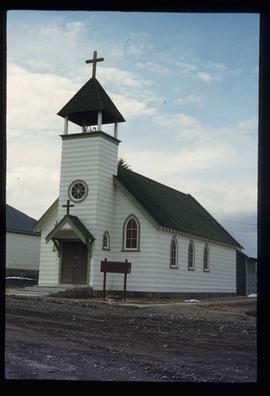
Image depicts a church somewhere in McBride, B.C. The sign in front possibly reads "St. Patrick's Church."
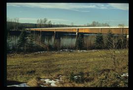
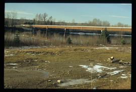
Image depicts the new Hansard Bridge. Map coordinates 54°04'57.9"N 121°51'10.1"W
Image depicts the new Hansard Bridge. Map coordinates 54°04'57.9"N 121°51'10.1"W
Image depicts an old road through the trees near Yellowhead Pass. The slide labels it as the origin of the Yellowhead highway.
Image depicts Mt. Fitzwilliam.
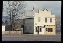
Image depicts a house somewhere in McBride, B.C.
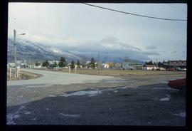
Image depicts McBride, B.C.
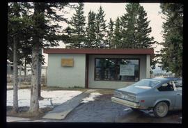
Image depicts the McBride District Centennial Library.
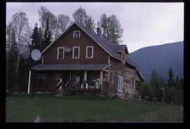
Image depicts a house with torn-up siding. The slide is labelled: "Mellos house relocated from Penny." The location is uncertain.
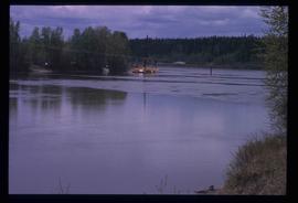
Image depicts what appears to be a ferry crossing a river at an uncertain location.
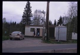
Image depicts two unidentified individuals speaking to each other in the doorway of what appears to be a mobile home. The location is uncertain.
Image depicts the Hansard railroad bridge taken from the new Hansard vehicle bridge. Map coordinates 54°04'58.1"N 121°50'58.0"W
File contains slides depicting the Kootenay Plains and surrounding areas in Alberta.
