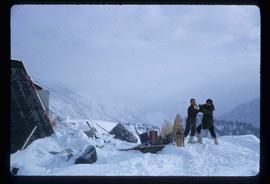
2012.13.1.47.02
·
Item
·
1967
Part of J. Kent Sedgwick fonds
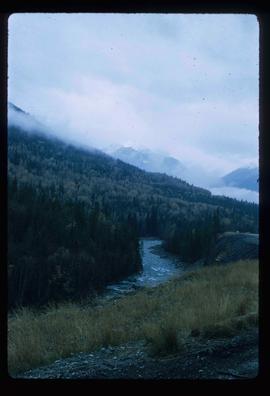
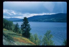
Image depicts a mountain in the distance. It is located somewhere near Birken, B.C.