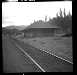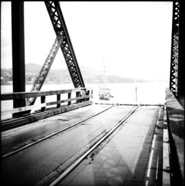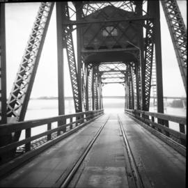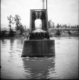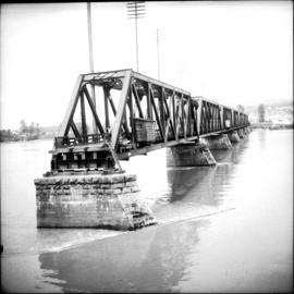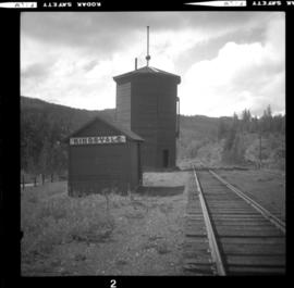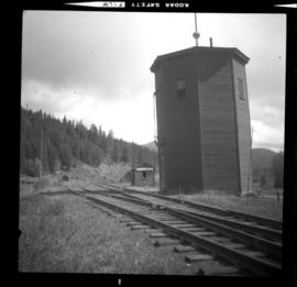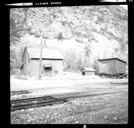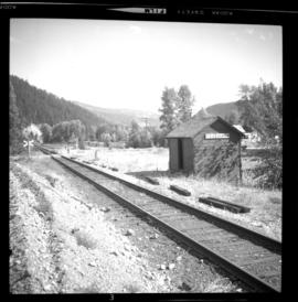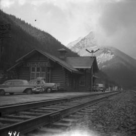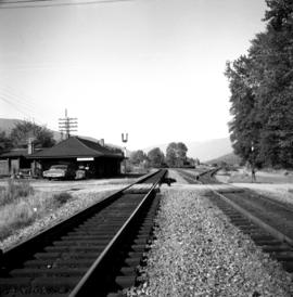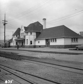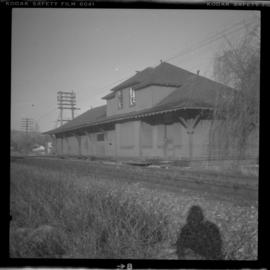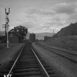
2013.6.36.1.006.05
·
Item
·
[May 1966]
Part of David Davies Railway Collection
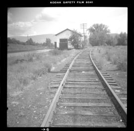
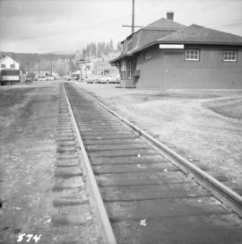
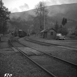
Photograph depicts the C.P.R. Savona Depot looking east.