Item
·
6/1/1988
Part of Mary Fallis fonds
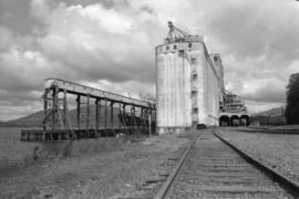
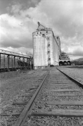
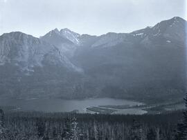
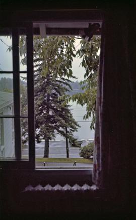
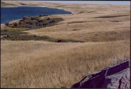
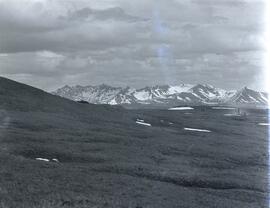
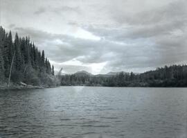
View of Prince George, B.C.