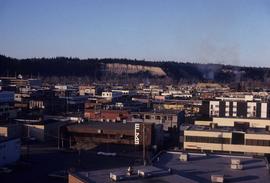
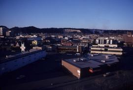
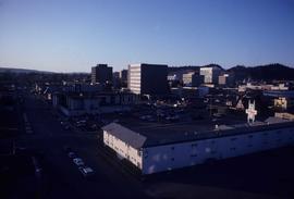
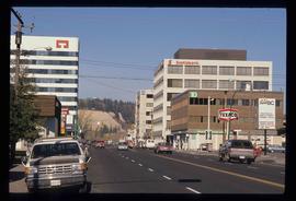
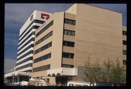
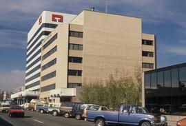
Image depicts downtown Prince George taken from City Hall looking north. Map coordinates 53°54'46.2"N 122°44'43.9"W
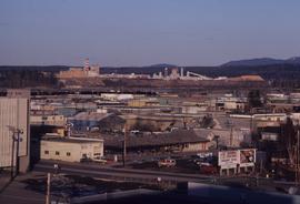
Image depicts a view of Prince George from City Hall looking northeast with the pulp mills in the background. Map coordinates 53°54'46.3"N 122°44'41.9"W
Image depicts downtown Prince George taken from City Hall looking north. Map coordinates 53°54'46.2"N 122°44'43.9"W
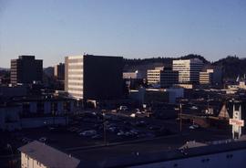
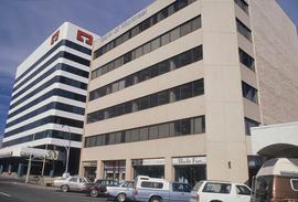
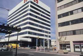
Image depicts downtown Prince George taken from City Hall looking northwest. Map coordinates 53°54'46.2"N 122°44'43.9"W
Image depicts downtown Prince George taken from City Hall looking northwest. Map coordinates 53°54'46.2"N 122°44'43.9"W
Image depicts downtown Prince George, B.C.
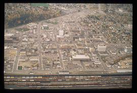
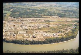
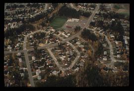
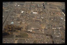
Image depicts an aerial view of downtown Prince George, B.C.
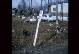
Image depicts two dogs and numerous chickens in a yard at Island Cache.
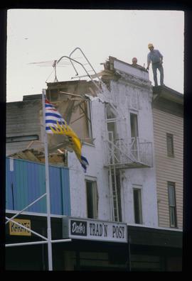
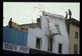
Image depicts the demolition of the Europe Hotel in Prince George, B.C.
Image depicts the demolition of the Europe Hotel in Prince George, B.C.
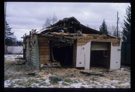
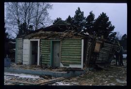
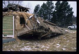
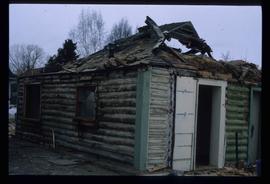
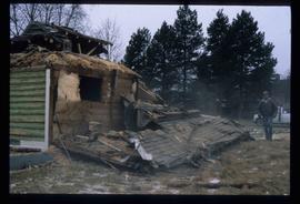
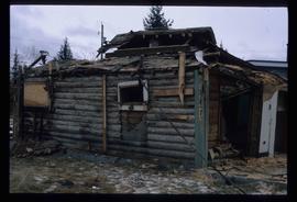
Image depicts a house in the process of being demolished in Prince George, B.C.
Image depicts a house in the process of being demolished in Prince George, B.C.
Image depicts a house in the process of being demolished in Prince George, B.C.
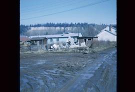
Image depicts the rubble of a demolished house at Island Cache, with several other buildings in the background.
Image depicts a house in the process of being demolished in Prince George, B.C.
Image depicts a house in the process of being demolished in Prince George, B.C.
Image depicts a house in the process of being demolished in Prince George, B.C.
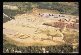
Image depicts a sawmill in the Danson Industrial Park in Prince George, B.C.
Image depicts a the Danson Industrial Park in Prince George, B.C.
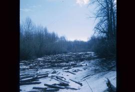
Image depicts an area of cut trees at Island Cache.
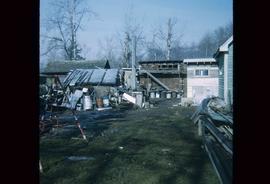
Image depicts a backyard filled with various items piled against a shed in Island Cache.
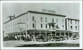
Photograph depicts hotel on corner of street, crowd and cars in foreground.
Handwritten annotation on verso “Albert Johnson’s 'Northern Hotel' South Fort George 1914".
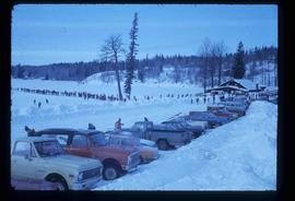
Image depicts a long line of people cross country skiing somewhere on Tabor Mountain in Prince George, B.C.
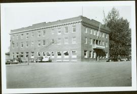
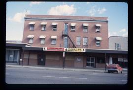
Photograph depicts large three story building, road and parked cars in foreground.
Annotation on verso: “Court House and Prov. Govt. offices at Pr. George. Once used to be 'Alexandra Hotel' now site occupied by Kresge’s. Alexander Hotel. Opened Sept 25, 1915."
Image depicts a the Cottonwood Island Nature Park sign and map in Prince George, B.C.
Image depicts a the Cottonwood Island Nature Park sign and map in Prince George, B.C.
Image depicts a section of the Heritage Trail on Cottonwood Island in Prince George, B.C.
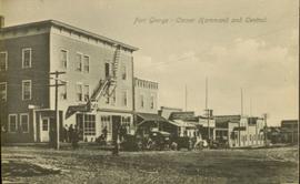
Street view of some vehicles parked in front of commercial buildings in Prince/Fort George. Businesses include "J.P. Robertson 'The Men's Store'" and "James & Co. Clothing and Shoes." Printed annotation on recto reads: "Fort George- Corner Hammond and Central."
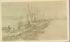
Photograph depicts pier under construction, workers, buildings smokestacks and river with chunks of ice. Handwritten annotation in pencil on recto reads: “S. FT. GEORGE G.T.P. BRIDGE”.
Image depicts the Columbus Hotel in Prince George, which was destroyed by a fire in 2008.
Image depicts College Heights, particularly along Gladstone Drive, in Prince George, B.C.
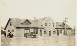
Street view photograph of a large brick with a vehicle parked in front. Printed annotation on recto reads: "C.N.R. Station Prince George, B.C."
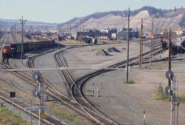
Image depicts a number of trains in the CNR train yard taken from River Road in Prince George, B.C. Map coordinates 53°54'51.5"N 122°43'29.6"W
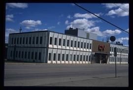
Image depicts the CN Building in Prince George, B.C.
Image depicts a clearing at Island Cache.
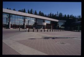
Image depicts the Prince George Civic Centre.
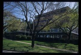
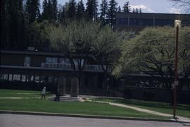
Image depicts City Hall in Prince George, B.C.
Image depicts Prince George City Hall. Map coordinates 53°54'46.3"N 122°44'41.9"W
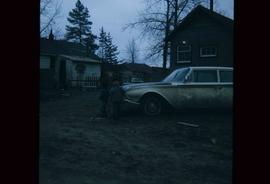
Image depicts two children standing near an old car in Island Cache.
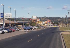
Image depicts Central Street West, parallel to Highway 97 in Prince George, B.C. looking north. Shown: Prince George Motors and other car dealerships, Burger King, Grama's Inn, and the Spruceland Shopping Mall sign. Map coordinates 53°54'42.1"N 122°46'53.1"W
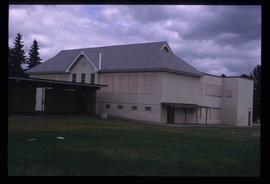
Image depicts an old, boarded up school, possibly the Central Fort George Traditional School in Prince George, B.C.
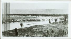
Photograph depicts landscape with cleared land in foreground, river in middle, building and trees in background.
Handwritten annotation on verso: "Central Fort George 1911".
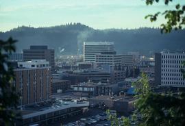
Image depicts the Central Business District of Prince George looking north from Connaught Hill. Map coordinates 53°54'41.4"N 122°44'58.5"W
Image depicts 3rd Ave at Victoria St. Map coordinates 53°55'03.9"N 122°44'54.8"W
Image depicts 3rd Ave at Victoria St. Map coordinates 53°55'03.9"N 122°44'54.8"W
Image depicts 3rd Ave at Victoria St. Map coordinates 53°55'03.9"N 122°44'54.8"W
Image depicts 3rd Ave at Victoria St. Map coordinates 53°55'03.9"N 122°44'54.8"W
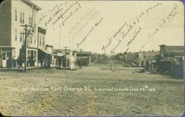
Printed annotation on recto reads: “Central Avenue Fort George B.C. Copyright Canada June 25th 1913”. Handwritten annotation in ink on recto reads: “Hotel Fort George; Pool room; Men’s furnishing; General store; Bank Vancouver; Telephone office; Temperance House; Trust-company; Grand stand & fair grounds; Hospital; Ware house and general store.” Cancelled 1 cent Canadian stamp on verso is dated: "Fort George BC Jul 14 13". Handwritten message in ink on verso is addressed to Mr. Chas H Wilson 94 Gould St Toronto: "Fort George. B.C> Box 65, July 13/ 13. Dear Father, This is a 'bird's eye view' of our main street - ha! ha! some class alright. We live right behind the bakery lunch room on the right hand side of the picture, on 1st avenue, some people eh? Will be moving to Cassiar Ave soon. How are all the folks. Mae is writing. Peace. M."
Image depicts the Carter Industrial Area in Prince George, B.C.
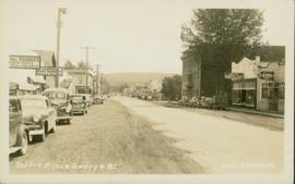
Photo depicts a street perspective cars lining Third Avenue, in Prince George, BC, ca. 1950. Annotation recto reads: "3rd Ave Prince George BC Photo J. Wrathall." Handwritten annotation in pen on verso of postcard reads: “This is the equivalent of our Granville Street. Both theatres are located here as well as Hudson Bay Co., banks, library & stores.”
