Image depicts a the Cottonwood Island Nature Park sign and map in Prince George, B.C.
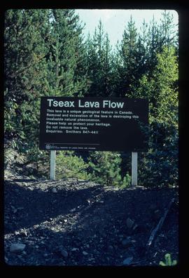
Image depicts a sign at the Tseax Lava Flow asking people to not remove lava from the site.
Image depicts a the Cottonwood Island Nature Park sign and map in Prince George, B.C.
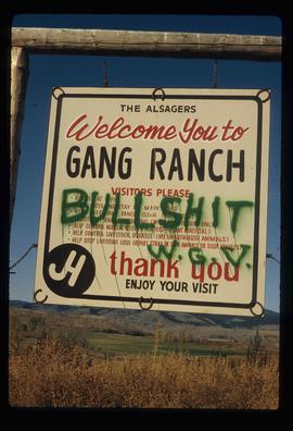
Image depicts the sign to Gang Ranch, located in the Upper Fraser Canyon, with graffiti on it.
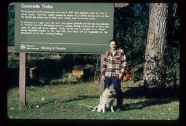
Image depicts Kent Sedgwick standing in front of a sign with a dog in Quesnelle Forks, B.C. The sign describes the history of the site, which began as a mining camp in 1859, but was later completely abandoned after a fire in 1866. It is now managed as a Forest Service Recreation Project.
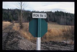
Image depicts the street sign for Iron Road South, which is located north of Woodpecker, B.C.
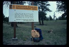
Image depicts a sign titled "Chilcotin Wildlife Management Area" somewhere near Riske Creek, B.C. It reads: "This trail has been provided by the Fish and Wildlife Branch in co-operation with Riske Creek Ranching Ltd., as access to the Chilcotin Wildlife Management Area. Please do not leave the the trail as the surrounding land is private property."
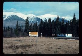
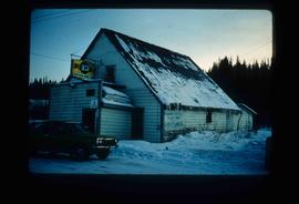
Image depicts a Yellowhead Realty sign in Lamming Mills, B.C. It reads: "For Sale, entire community, 50 buildings, 60 acres."
Slide depicts the original wooden BC Forest Service sign for the Aleza Lake Forest Experiment Station.
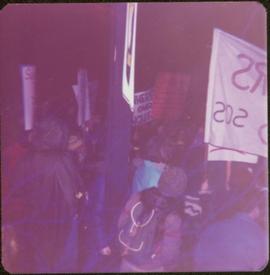
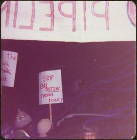
Photograph depicts crowd with individuals holding protest signs.
File contains photographs depicting individuals at Cassiar on strike in the winter time, marching down roads, holding picket signs, carrying small children who hold signs, and driving cars covered with strike slogans. Many of the signs read "U.S.W.A. LOCAL 6536" (United Steel Workers of America).
- Two photographs depict a man with a video recorder. Some photos feature plant buildings, two were taken at night. One photograph depicts a note that reads: "THERE WILL BE NO AFTERNOON SHIFT THURSDAY NOVEMBER 5th 1970."
- Many photos depict areas in the mine showing snow impacts, fissures in the mountain, asbestos evidence and other environmental activity. The picket signs contain protests regarding contracts, safety, environment, and ethics.
- Handwritten annotation on original envelope containing photographs: "Pictures 1970 Strike."
- Integrated into file are fourteen photos from file marked "Mr. B. Pewsey" that depict an area where a large rock fell, measuring tape, and protest sign.
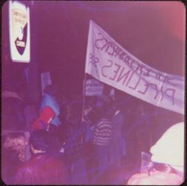
Semi-visible sign reads: “Supertanks - Pipelines S.O.S.”
Image depicts a lake with a "Swim at Own Risk" sign at an uncertain location.
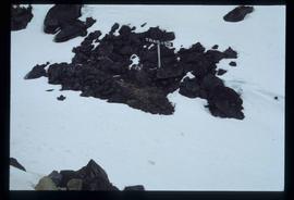
Image depicts a patch of snow-covered ground with a sign that reads "Trail of 98," somewhere along the White Pass railway.
Image depicts Gang Ranch, with a sign warning that the area is patrolled by Range and Logging Patrols, in the Upper Fraser Canyon.
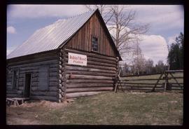
Image depicts an old log cabin with the sign "Robin Hood Flour" on it at an uncertain location. It is possibly at the 153 Mile House.
Image depicts the Upper Fraser General Store in Upper Fraser, B.C. Two other signs indicate that it is also a post office and a place that offers propane refills. Map coordinates 54°07'10.8"N 121°56'51.7"W
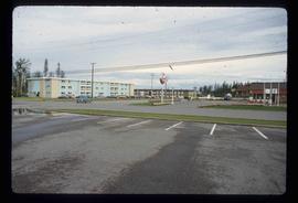
Image depicts several apartment buildings and the sign for a Gulf Gas Station in Mackenzie, B.C.
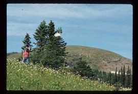
Image depicts a woman standing in a field, with a sign in a tree behind her pointing the way towards the Raven Cabin.
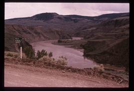
Image depicts the Fraser River, and a sign pointing towards Gang Ranch, in the Upper Fraser Canyon.
Image depicts the Fraser River, and a sign pointing towards Gang Ranch with an unknown individual hugging it, in the Upper Fraser Canyon.
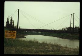
Image depicts a bridge over the McGregor River. A sign in the image reads: "Danger. The river is not navigable for any type of boat. Down stream falls and rapids impassible!"
Image depicts water flowing through an irrigation channel in an orchard, somewhere in or near Seton Portage, B.C. There is a sign which reads: "Danger Keep out."
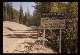
Image depicts a sign on the dirt road leading to Barkerville from Keithley Creek. The sign reads: "Barkerville 40 (via Yanks Peak) Maximum elevation 6200 FT. Summer road only. Steep grades and switchbacks not recommended for other than 4-wheel drive vehicles. You are entering an isolated mountain area; you will be on your own."
Sign in foreground reads: “Stop Bull Shitting, [Phoney (crossed out)] Ioney”.
Handwritten annotation on verso reads: “The Kitimat Oil Port Environmental Lobby, didn’t believe I killed it. I did!”
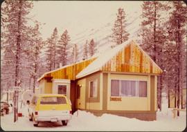
Photograph depicts mobile home modified for Cassiar winters (steeply sloped roof added). Yellow suburban parked in driveway in left foreground. Forest trees and mountainside visible in background. Sign reading "686" posted on tree in left foreground. Believed to be the home of Gerry Cooper.
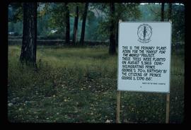
Image depicts a group of trees in the Cottonwood Park, with a sign which reads: "This is the primary plantation for the 'Forest for the World' project. These trees were planted on August 5, 1985, commemorating Prince George's 70th birthday by the citizens of Prince George & Expo 86'."
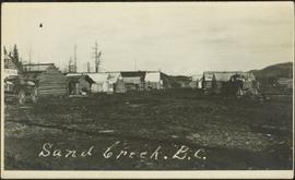
Photograph depicts small log buildings and loaded wagons in cleared dirt area. Building on far left has the sign "POOL HALL" posted on front . Treetops, lumber piles, and hills in background. Mountains can be seen in distance. Handwritten annotation on verso of photograph reads: "Sand Creek. B.C."
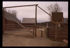
Image depicts the Cottonwood House Historic Site along Barkerville Highway, east of Quesnel, B.C. A sign posted by the fence reads: "For over half a century the Boyd family operated this haven for man and beast. Here weary travellers found lodging, food, and drink. Here fresh horses were hitched to stage-coaches and miners bought supplies. This historic road-house, built in 1864, stood as an oasis of civilization on the frontier of a rich new land."
File consists of notes, reproductions, and letters relating to L.C. Gunn Park in Prince George. Includes: "Signage for Gunn Park" letter from Kent Sedgwick to the Mayor and Council (21 Dec. 1989); "L.C. Gunn viewpoint a proposal" documents within a duotang (1987); and "Donation to the City of Prince George" typescript letter from Graham Farstad to the Administration Committee ( 1 June 1988). Includes photographs depicting the opening of L.C. Gunn Park and the sign unveiling (3 Oct. 1988).
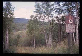
Image depicts the Battle Hill National Historic Site in Kitwanga, B.C.. The sign located there says: "The small knoll in the valley was a native fortress. Legends maintain that it was man-made: built to repel marauding coastal tribes. The hill was the scene of local tribal battles, and at one time was crowned with the defenders' buildings. Known as Dhawdezp, the unique mound is a prominent feature in the legends and history of the Indian people."
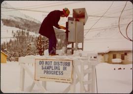
Photograph depicts Joseph wearing safety gear while standing at testing equipment on raised sampling station. Sign below Joseph reads "DO NOT DISTURB / SAMPLING IN PROGRESS / PROPERTY OF ENVIRONMENTAL CONTROL DEPT. / CASSIAR ASBESTOS LTD." Helen Joseph took air quality tests in the working areas and town (see item 2000.1.1.3.19.135). Power lines, unidentified building, and mountain base visible in background. Photo was taken during winter.
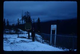
Image depicts an unidentified individual standing near a drop-off in the Pine Pass between Alberta and British Columbia. The sign behind the individual reads: "Pine Pass - 2,868 FT. Here the great barrier of the Rock Mountains is breached by the lowest highway pass. Once the remote route of the trapper, it now links the commerce of the north and markets of the south. The John Hart Highway was completed in 1952 and followed by the P.G.E. in 1958. Gas and oil lines also take advantage of this convenient natural feature."
The first portion of the film begins with a map of Tweedsmuir Provincial Park and then cuts to a motor boat on a lake, possibly Fenton Lake, and men fishing on the lake. The next clip is of more men fly-fishing on a river, possibly the Bella Coola River or the Dean River. A short clip follows of two children in a boat with a man pushing them along with a rod. There is footage of the scenic landscape, which is most likely the Bella Coola Valley, and a cabin, which is believed to be Elsey's. A woman believed to be Mrs. Elsey sits on the porch and then arranges her flowers. The film shows some ducks on the lake, two squirrels playing and the Elsey's dog in a boat. Mrs. Elsey pulls the boat ashore in the next clip and then the film shows her working in her vegetable garden. There is more scenic filming of the valley and a man cutting down a tree with a chain saw. There is footage of a grouse beating it's wings, chipmunk looking for seeds, birds in a marsh, three moose in a marsh, and a bald eagle perched and flying.
There is a break in the film and the second portion begins with footage of cabin in the mountains, a baby in a cradle, an elder First Nations woman, and a gathering of First Nations peoples by a tent. There is a shot of a picnic site sign labelled "Burnt Bridge Picnic site Parks Branch" and another sign that reads "Kalyskt Creek." There is then footage of the creek and a truck driving down a dirt road. There is then a group of people boarding a motor boat in a river and driving up and down the river, which could possibly be the Dean River or the Bella Coola River. There is then more filming of a cabin in the mountains, possibly Elsey's, and a man cleaning a large fish he caught. Then there is footage of men in a rubber raft floating down a river and fishing from the raft, and then some other men traveling in a motor boat.
There is an another break and the third portion of the film begins with footage of birds on a lake and footage from a boat showing the mountains. On land there is filming of two bears walking, men hunting the bear, killing the bear, and skinning the bear. The film cuts back to the boat and the filming the mountains along the water. The people on the boat then pull up crab traps from the water and cook the crabs on the boat. The film ends with footage of salmon jumping and a man filleting his fish catch.
Footage includes salmon jumping in a river, men filleting fish in fishing boat in tide water, a beaver in the water, and a bird, probably a heron, flying.
Recordings from the boat on a river, some loons on a lake, either Anahim or Fenton lake, and a panoramic view of the lake with mountains in background.
Also some footage of men fishing from the shore of a river, children catching fish, children swimming, some river rapids, footage of an eagle, a pelican on the lake, a group of birds, probably sand pipers, in water.
There are two young girls playing on a boat near shore, a view of white and brown house, and an older boy pulling a young girl in a wagon.
Include is footage of a backyard BBQ picnic, two young girls fishing, a cabin at a lake, and general scenery of birch trees, a boat house, and a dock at lake.
There is also a sign that reads "Breezy Cove," people relaxing on porch in front of cabin, and footage of a woman believed to be Mrs. Elsey and a friend walking on a forest path.
The film ends with footage of more fishing off a motor boat and unloading the motor boat at a dock.
Possible locations of the filming include the Bella Coola River, the Bella Coola Valley, the Bulkley Valley, the Hagensborg area, and Nimpo Lake.
File consists of a transcript of an oral history interview with Jim Burbee.
File consists of:
- David Mills, "Aleza Lake Research Forest Historical Internship Summary" (2 Jan. 2007), 26 p. - In print and original digital .doc file
- David Mills, "Aleza Lake Forest Experiment Station Socio-Economic Time Line 1905-1937" (2007), 68 p. - In print and original digital .doc file
- ALRFS employment paperwork for David Mills, the ALRFS Natural Resource History Intern
- Research notes, including a copy of a map of the town of Aleza Lake in the 1920s

