This file contains the following photographs in both print photograph and negative format:
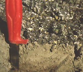
Y03-06
Date: August 10, 2003
Location Coordinates: 61° 4’ 1.5” N, 138° 21’ 57.4” W, 825.3 m asl (± 9.5 m)
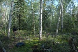
Site Description: top of slope, E aspect
Sample Depths & Descriptions:
- Y03-06-01 - Crust
- Y03-06-02 - 0-6 cm - Ahk (10YR 3/2 m; strongly effervescent)
- Y03-06-03 - 6-14 cm - Bmk (2.5Y 3/3 m; strongly effervescent)
- Y03-06-04 - 14 cm+ - IICk (strongly effervescent)
Print roll 4, #1-2 (Corresponding slides: Slide roll 3 #36-35)
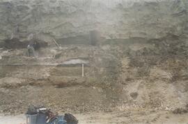
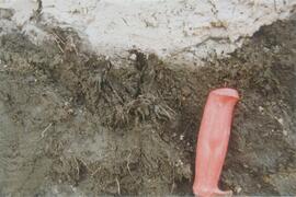
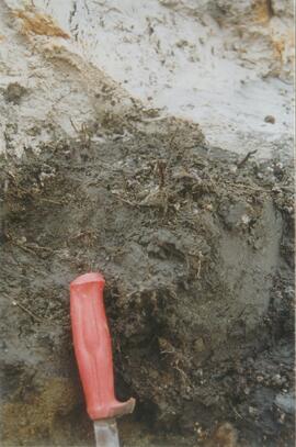
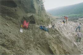
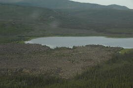
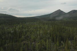
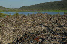
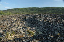
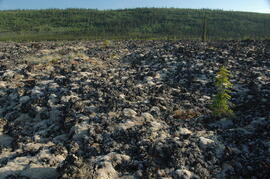
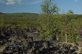
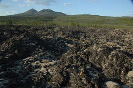
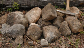
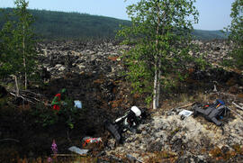
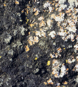
Y03-07 (peninsula near Kluane visitor centre, Sheep Mt.)
Date: August 11, 2003
Location Coordinates: 61° 1’ 42.8” N, 138° 29’ 36.2” W, 786.7 m asl (± 5.7 m)
Site Description:
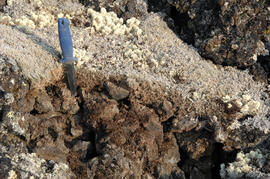
- recent (?) landslide with loess accumulation in pockets, thinner on boulder surfaces, dominated by dark cyanobacteria crusts
- limited loess accumulation due to exposure of site
- crust is calcareous at surface
Sample Depths & Descriptions:
- Y03-07-01 - Crust
- Y03-07-02 - 0-6 cm - Ck
- Y03-07-03 - 6-9 cm - Ahkb
- Y03-07-03 - 9 cm+ - Rock
Print roll 4, #3-10 (Corresponding slides: Slide roll 3 #34-30)
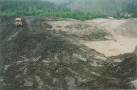
Lower Slims River (lookout knoll at parking lot N of visitor centre)
Date: August 11, 2003
Location Coordinates: 60° 59’ 56.4” N, 138° 33’ 36.4” W, 844.8 m asl (± 7.3 m)
Site Description: some fire disturbance, but lower slopes have more intact crusts on loess (calcareous to surface)
Print roll 4, #11-17 (Corresponding slides: Slide roll 3 #29-26)
Lower Slims R (lowest bench below lookout knoll)
Date: August 11, 2003
Location Coordinates: 60° 59’ 51.8” N, 138° 33’ 36.2” W, 814.3 m asl (± 7.9 m)
Site Description: not burned; good intact crust; vegetation: A. frigida, Calamogrostis purpurea, Erigeron caespitosus, Linnaea, Carex filifolia (sparse cover ~ 50%)
Print roll 4, #18-20 (Corresponding slides: Slide roll 3, #25-23)
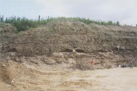
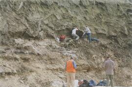
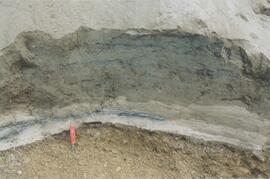
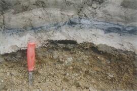
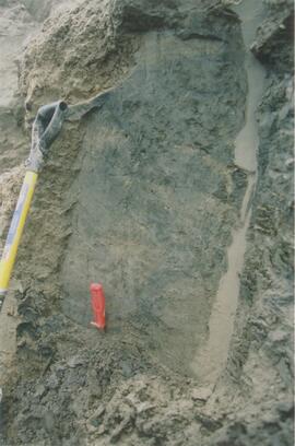
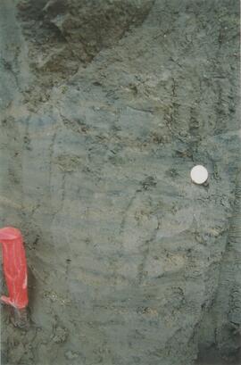
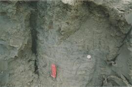
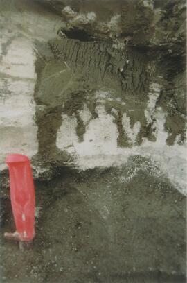
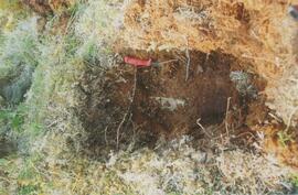
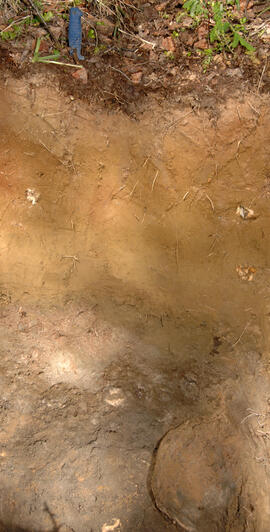
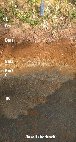
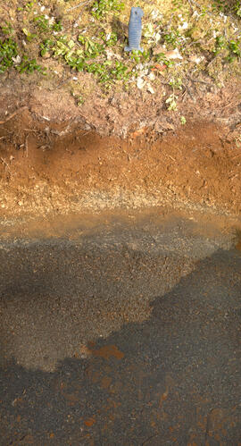
Slims Soil
(Holocene paleosol with well-developed B horizon under Neoglacial calcareous loess – location not recorded, but likely from roadcut exposure along main Slims R trail)
Print roll 4, #21 (Corresponding slides: Slides roll 3, #22)
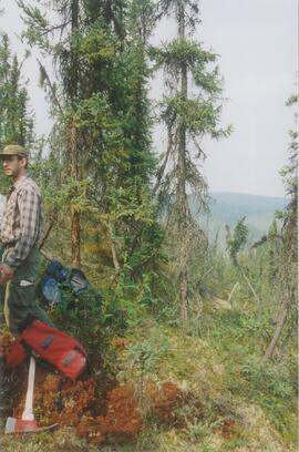
S-facing opening above main trail
Date: August 11, 2003
Location Coordinates: 60° 59’ 53.1” N, 138° 34’ 9.0” W, 822.9 m asl (± 15.0 m)
Site Description:
- Nostoc crust, also with Collema
- calcareous to surface
- site has later successional stage, with Arctostaphylos & Juniperus starting to move in
Print roll 4, # 22-25
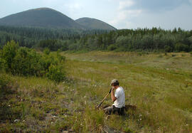
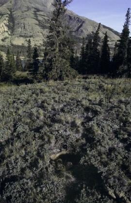
Lower end of Sheep Creek
Date: August 11, 2003
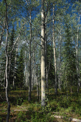
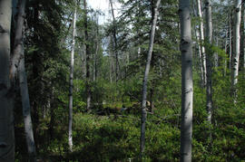
Misc. views of grassland vegetation and landscape (locations not recorded)
Print roll 4, #26-33 (Corresponding slides: Slides roll 3, #21-18)
Overlook at lower end of Sheep Creek canyon
Date: August 11, 2003
Location Coordinates: 60° 59’ 42.2” N, 138° 34’ 38.1” W, 878.0 m asl (± 9.5 m)
Site Description: heavy use by sheep (abundant droppings) but still has ~ 50% crust coverage
Print roll 4, #34-35 (Corresponding slides: Slides roll 3, #17-16)
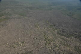
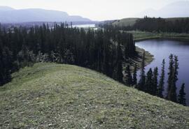
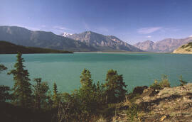
Downvalley view toward Slims R delta, near Sheep Creek (?)
Date: August 11, 2003
(location not recorded)
Print roll 4, #36-E