Print preview Close
Showing 317 results
Archival description
Alaska Highway

"AMS Radiocarbon Dates for Soil Charcoal in Holocene Loess - Kluane Lake, Yukon Territory - 2004 Samples"
"AMS Radiocarbon Dates for Soil Charcoal in Holocene Loess - Kluane Lake, Yukon Territory - 2008 Samples"
Approaching Camp 2 at the mouth of Black Creek
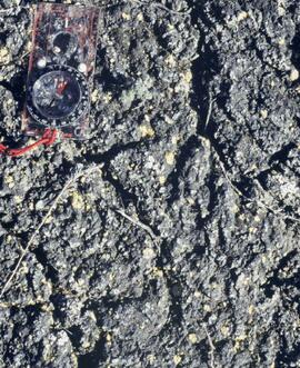
Basalt flow north of Volcano Mountain
Basalt flow north of Volcano Mountain
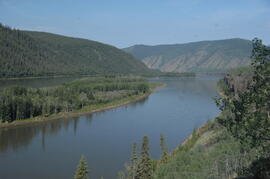
Camp 1, facing east up the Yukon River
Camp 1, facing east up the Yukon River

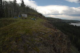
Camp 1, facing southwest
Camp 1, facing west down the Yukon River
Camp 1, facing west down the Yukon River

Camp 2 at the mouth of Black Creek
Camp 2, facing west down the Yukon River

Carcross - Bennett Lake

Carcross Train Station
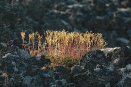
Cryptobiotic soil crust close-up
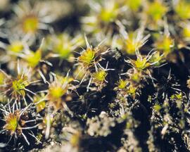
Cryptobiotic soil crust close-up
Cryptobiotic soil crust close-up
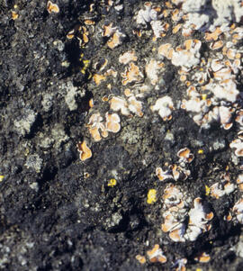
Cryptobiotic soil crust close-up
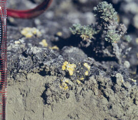
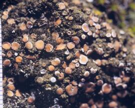
Cryptobiotic soil crust interface

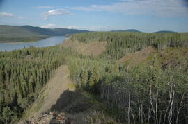
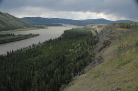
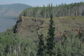
Early Pleistocene basalt cliffs on the north side of the Yukon River
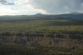
Early Pleistocene basalt cliffs on the north side of the Yukon River
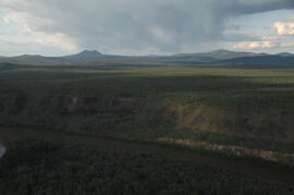
Early Pleistocene basalt cliffs on the north side of the Yukon River
East of Camp 1, facing west down the Yukon River

Eroding Rock Face?
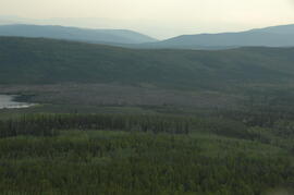
Facing southwest toward Leech Lake and the Holocene basalt flow south of Mountain

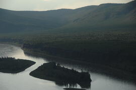
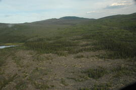
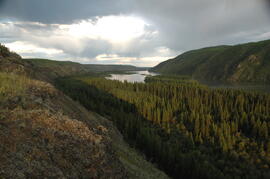
Flight between Camp 2 and Camp 3

Flight between Camp 2 and Camp 3

Flight between Camp 2 and Camp 3
Flight between Camp 2 and Camp 3
Flight between Camp 2 and Camp 3

Fort Selkirk volcanic field soil reconnaissance data
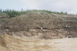
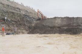
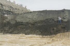
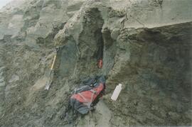
Gold Bottom east wall (1)
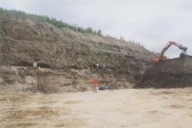
Gold Bottom east wall (2)
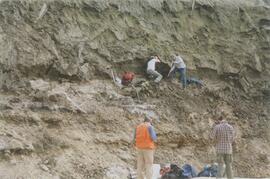
Gold Bottom east wall (3)
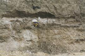
Gold Bottom east wall (4)
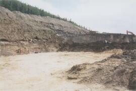
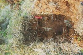
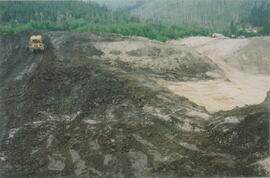
Gold Bottom lower pit
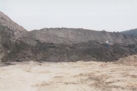
Gold Bottom south wall (1)
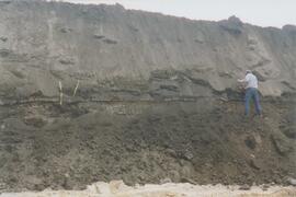
Gold Bottom south wall (2)
Gold Bottom south wall (3)
Gold Bottom south wall (4)
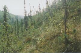
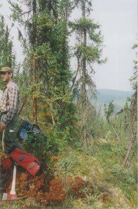
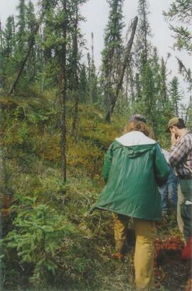
Gold Bottom transect - north aspect lower slope (1)
Gold Bottom transect - north aspect lower slope (2)
Gold Bottom transect - north aspect lower slope (3)
Gold Bottom transect - north aspect lower slope (4)
Gold Bottom transect - north aspect lower slope (5)
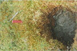
Gold Bottom upper pit (1)
Gold Bottom upper pit (2)
Gold Bottom upper pit (3)
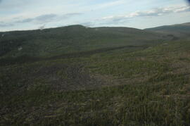
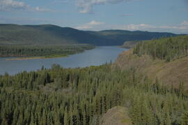
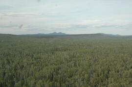
Holocene basalt flows near Camp 3