Aperçu avant impression Fermer

Affichage de 78 résultats

Archival description
58 résultats avec objets numériques Afficher les résultats avec des objets numériques
2010.7 · Collection · 2010

This collection contains two tapes of interviews by Kent Sedgwick and Megan Heitrich, and one tape by Megan Heitrich alone. Interviews focus primarily upon the Japanese Internment during WWII in the Prince George – Valemount corridor. The interviews are with women who lived near an internment camp during the war, and had some contact with the Japanese men.

The interviewees were selected for having mentioned the Japanese internment in prior interviews: Louisa Mueller and Ruth Cunningham in interviews by the Prince George Oral History Group, and Karlleen Robinson in “A History of Logs and Lumber.” In the Cunningham Interview, Ruth’s daughter Lillian Coulling is also present.
East Line (Metal Box)
2012.13.1.089 · Sous-série organique · [between 1970 and 2006]
Fait partie de J. Kent Sedgwick fonds

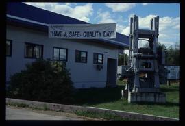
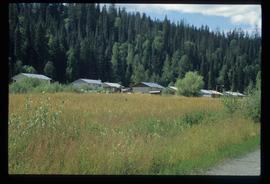
File contains slides depicting places along the east line of the BC Railway.

2017.6 · Collection · 1999-2002

The Upper Fraser Historical Geography Project was conducted by UNBC faculty and a team of researchers between 1999 and 2002. The lead researchers were Aileen Espritiu, Gail Fondahl, Greg Halseth, Debra Straussfogel, and Tracy Summerville. The project resulted in the creation of 93 oral history records and their transcripts. Participants included regional forest industry executives, politicians (including former MLA Ray Williston, local mayors and Fraser Fort George Regional District representatives), forest industry workers, and former and contemporary Upper Fraser community residents. The oral histories document the rise, consolidation and demise of the forestry-based settlements along the Upper Fraser River between 1915 and 2000.

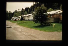
Upper Fraser Residences
2012.13.1.87.047 · Pièce · [between 1975 and 1995]
Fait partie de J. Kent Sedgwick fonds

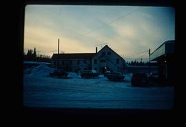
Image depicts an older building with numerous vehicles parked out front in Upper Fraser, B.C. Map coordinates 54°07'03.5"N 121°56'34.4"W

Upper Fraser Road in Upper Fraser, BC
2012.13.1.87.041 · Pièce · [between 1975 and 1995]
Fait partie de J. Kent Sedgwick fonds

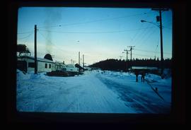
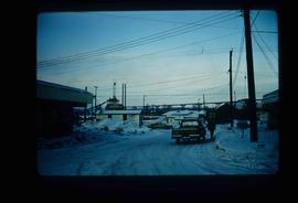
Image depicts the Upper Fraser Road running through Upper Fraser, B.C. A beehive burner is seen in the background on the left and the mill office is seen on the right. Map coordinates 54°07'05.7"N 121°56'38.9"W

Upper Fraser Mill
2012.13.1.87.044 · Pièce · [between 1975 and 1995]
Fait partie de J. Kent Sedgwick fonds

Image depicts entrance to mill yard for Upper Fraser mill in Upper Fraser, B.C. Map coordinates 54°07'10.8"N 121°56'51.7"W