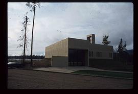
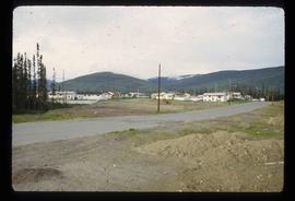
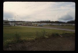
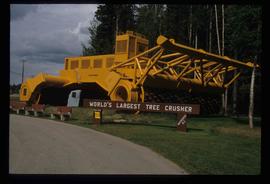
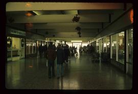
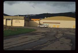
Image depicts numerous vehicles parked outside a building with a sign which reads "Mackenzie Centre;" it is possibly the mall in Mackenzie, B.C.
Image depicts the frozen Morfee Lake just to the East of Mackenzie, B.C. The slide is also labelled "sub-boreal," referencing that it is a sub-boreal spruce zone.
Image depicts St. Peter's Church in Mackenzie, B.C.
Image depicts a residential area with a playground somewhere in Mackenzie, B.C.
Image depicts a trailer park somewhere in Mackenzie, B.C.
Image depicts numerous vehicles in the parking lot of a mall in Mackenzie, B.C.
Image depicts the world's largest tree crusher in Mackenzie, B.C.
Image depicts numerous individuals seated around a table and apparently having a meeting at an uncertain location in Mackenzie, B.C.
Image depicts the Mackenzie Reservoir in Mackenzie, B.C.
Image depicts a row of houses in Mackenzie, B.C.
Image depicts a small section of Mackenzie, with the Mackenzie Curling Rink visible on the right side of the image.
Image depicts St. Peter's Church in Mackenzie, B.C.
Image depicts a truck parked on a beach in Mackenzie, B.C.
Image depicts numerous individuals inside a mall in Mackenzie, B.C.
Image depicts numerous individuals examining a map as they are seated around a table. The location of the meeting is somewhere in Mackenzie, B.C.
Image depicts numerous individuals wearing hard hats in what appears to be a computer room somewhere in Mackenzie, B.C.
Image depicts the Mackenzie Curling Rink.
Image depicts numerous condominiums somewhere in Mackenzie, B.C.
Image depicts a row of houses in Mackenzie, B.C.
Image depicts an individual standing next to the world's largest tree crusher in Mackenzie, B.C.
Image depicts a trailer park in Mackenzie, B.C.
Image depicts several apartment buildings and the sign for a Gulf Gas Station in Mackenzie, B.C.