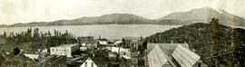
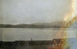
2009.7.1.050
·
Item
·
[1915?]
Parte de Archdeacon W. H. Collison fonds
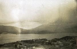
Photograph depicts a large ship behind dock buildings. Railroad crosses foreground, hills visible on shore in background.
Handwritten annotation on verso reads: "Ship in Pr. Rupert dry dock during Great War 1915?".