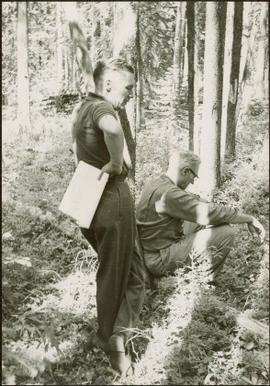
Item is a photograph of Ray Williston and John Liersch in a small wood area southwest of Prince George.
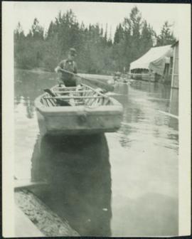
Cane floats in flooded area of camp, tent buildings and forest trees in background. It is believed that this photograph may depict the Island Cache in flood, at Prince George, BC.
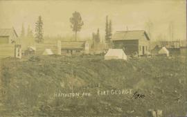
View of 5 buildings and 4 tents on land that has been cleared to stumps. Printed annotation on verso reads: “HAMILTON AVE. FORT GEORGE”, added handwritten annotation in ink reads: “1910”.
Item consists of interview with Joe Carty who discusses the trapping industry in the Prince George region
Zonder titelItem consists of transcript of interview with Ambrose Trick discussing the sawmilling and logging industry in Northern BC, c.1930s-1950s including the 1953 strike; the creation of the Northern Interior Lumbermen's Association. Trick also discusses his involvement in railway work, his involvement with hockey in Prince George and discusses Prince George politics, prominent personalities in the North.
Zonder titelFile consists of records created and collected by Kent Sedgwick regarding the removal of Island Cache residents after the 1972 flood and suggestions for creation of park on Cottonwood Island. The majority of the file consists of reproduced City of Prince George records. Includes memoranda to and from the mayor, city manager, and aldermen; meeting minutes of the Flood Committee; city reports on Cottonwood Island and the flooding situation; a listing of Cottonwood Island properties offered for sale to the municipality; a report entitled "Cottonwood Island - A report on desirable land use" (Nov. 1970); a "Proposal for Cottonwood Island as a Park Reserve" (1973); a document from the Cottonwood Island Study Committee; correspondence from Mary Fallis; and a City of Prince George memorandum regarding a Public Hearing.
Subseries consists of materials collected by Kent Sedgwick for research on the geography and natural resources in Prince George and its region. Includes material on the natural resource industry, including the opening of the McArthur Sawmill, the W. Lamb and Sons Lumber Sawmill, and mining; photocopied aerial photographs of Prince George; the climate, temperatures, and flooding; and the geographical features of Prince George.
File contains slides depicting logging and equipment. Most appear to be locations around Prince George.
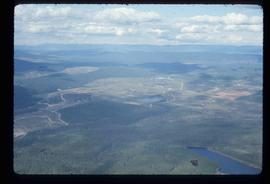
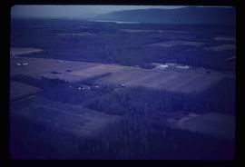
Image depicts an aerial view of areas that have been used for logging around Prince George, B.C.
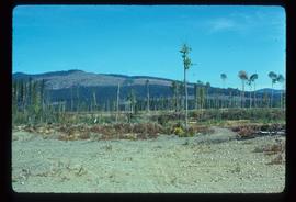
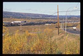
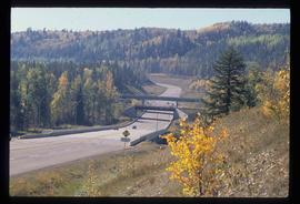
Image depicts a highway, and a section of mountain in the background which is bare due to clear-cut logging. It is possibly somewhere near Prince George, B.C.
Image depicts a logging area, and a section of mountain in the background which is bare due to clear-cut logging. The slide is also labelled "logging show." It is possibly somewhere near Prince George, B.C.
Image depicts logs being stripped of their bark at a saw mill in Prince George, B.C.
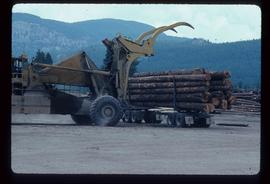
Image depicts a piece of heavy machinery lifting numerous logs off the back of a logging truck. It is likely located in Prince George, B.C.
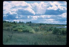
Image depicts the shore line and surrounding land of a lake or river at an airport, possibly in Prince George, B.C.
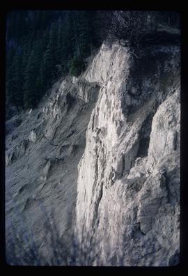
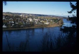
Image depicts a cutbank on the Nechako River in Prince George, B.C.
File contains slides depicting numerous recreational locations from various places in Canada.
Image depicts Tabor Mountain in the distance, located in Prince George, B.C.
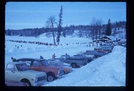
Image depicts a long line of people cross country skiing somewhere on Tabor Mountain in Prince George, B.C.
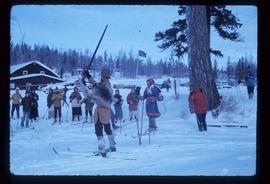
Image depicts a skier in a costume with a fake sword, somewhere on the Birchleg Ski route on Tabor Mountain in Prince George, B.C.
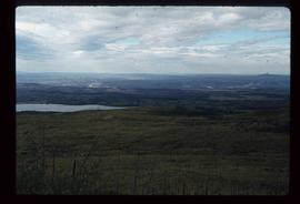
Image depicts the area surrounding Tabor Mountain. Prince George is slightly visible on the left side of the image in the background.
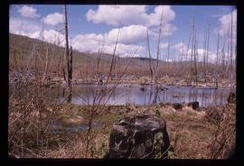
Image depicts a forest of dead trees on the slopes of Tabor Mountain in Prince George, B.C.
Image depicts a the Cottonwood Island Nature Park sign and map in Prince George, B.C.
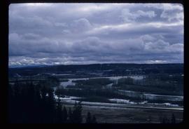
Image depicts the Fraser River from the vantage point of the cutbanks in Prince George, B.C.
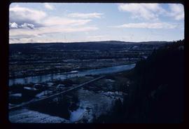
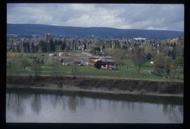
Image depicts a view of Prince George from the cutbanks on the Nechako river.
Image depicts Prince George from the view of Peden Hill.
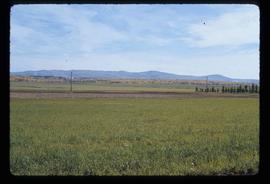
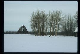
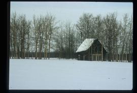
Image depicts an agricultural field, most likely near Prince George, B.C.
Image depicts a view of Prince George from Gunn Point in the L.C. Gunn Park looking north. Map coordinates 53°54'26.2"N 122°43'35.8"W.
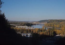
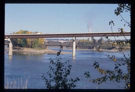
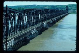
Image depicts the Fraser River and the Yellowhead and Grand Trunk Railway Bridges from LC Gunn Park. Map coordinates 53°54'30.7"N 122°43'27.0"W
Image depicts the Northwood pulpmill in Prince George B.C.
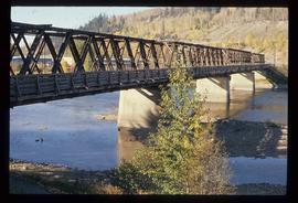
Image depicts the Foothills Bridge over the Nechako river on the Foothills Boulevard in Prince George, B.C. Map coordinates 53°56'52.5"N 122°48'59.9"W
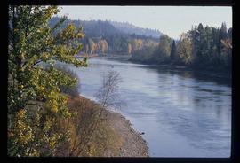
Image depicts a river, possibly the Nechako, in Prince George, B.C. Possibly taken from the Foothills Bridge.
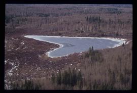
Image depicts Haldi Lake near Prince George, B.C.
Image depicts Eskers Park, near Prince George, B.C.
Image depicts a few trees, with what is possibly the Northwood Pulpmill in the background, in Prince George, B.C.
Image depicts Pineview on Buckhorn Lake Road, Prince George, B.C.
Image depicts Pineview on Buckhorn Lake Road, Prince George, B.C.
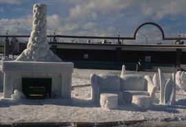
Image depicts a snow sculpted fire place and couch on a skating rink, possibly during the Winter City Conference, in Prince George, B.C. Taken at the Prince George Civic Center. Map coordinates 53°54'45.6"N 122°44'59.6"W
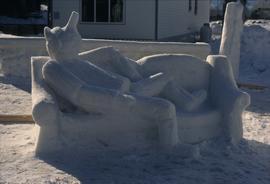
Image depicts a snow sculpture of the Mr. P.G. lounging on a couch, possibly during the Winter City Conference, in Prince George, B.C. Taken at the Prince George Civic Center. Map coordinates 53°54'45.6"N 122°44'59.6"W
Image depicts the Northwood Pulpmill in Prince George, B.C. taken from above the Nechako River looking east. Map coordinates 53°56'00.0"N 122°44'29.7"W
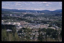
Image depicts Prince George, with the picture looking North-Northeast from University Way.
Image depicts Prince George from University Way, with the P.G.I pulp mill in the distance.
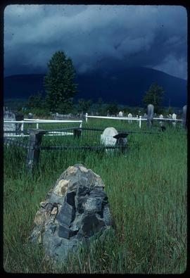
Image depicts a cemetery in the South Fort George suburb of Prince George, B.C.
Image depicts a bridge in Prince George, B.C.
Image depicts a bridge in Prince George, B.C.
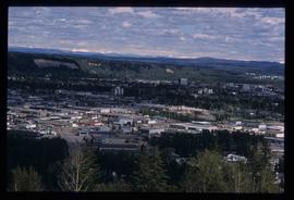
Image depicts a view of Prince George from an uncertain location.
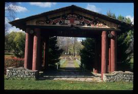
Image depicts the Lheidli T'enneh Burial Grounds in Fort George Park.
Image depicts a view of Prince George.
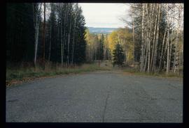
Image depicts a road near the Ginter House in Prince George, B.C.
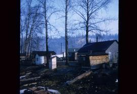
Image depicts a number of small houses at Island Cache.
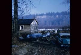
Image depicts several old, ruined cars and an unknown individual in Island Cache.
