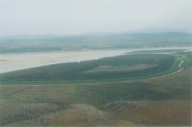
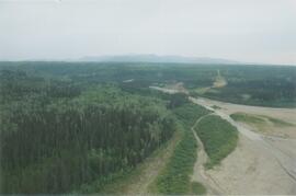
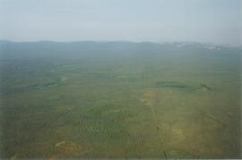
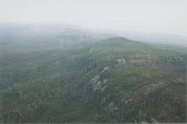
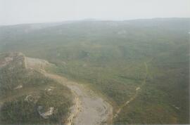
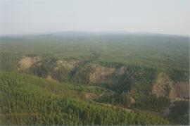
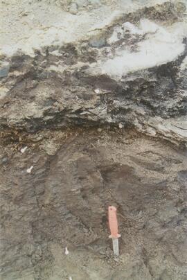
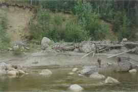
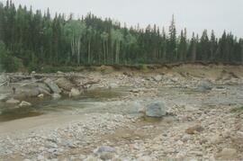
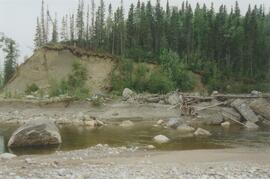
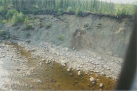
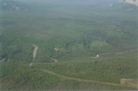
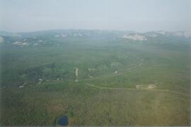
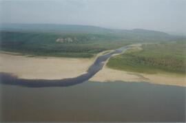
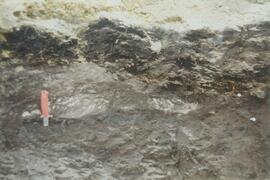
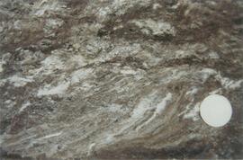
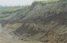
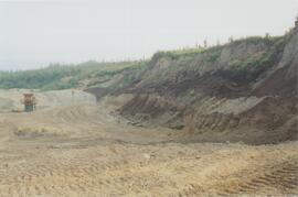
Photograph depicts the Mackenzie Valley and the Franklin Mountains.
This file contains the following photographs in both print photograph and negative format:
Thorsen Bay
Print roll 11, #01-2A
Corresponding slides: slide roll 6, #12-10
Y04-19 (27.5 km on Cultus Bay Rd., near Thorsen Bay)
Date: July 22, 2004
Location Coordinates: 61º 12’ 3.0” N, 138º 28’ 58.3’ W, 819 m asl (± 18.9 m)
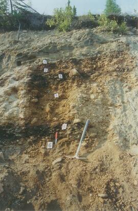
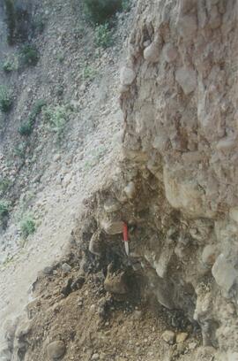
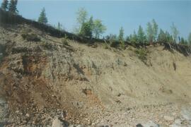
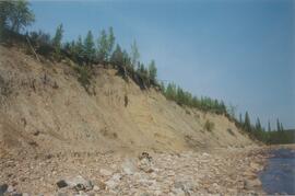
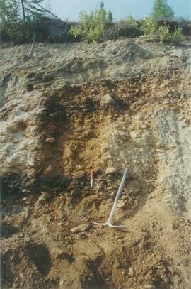
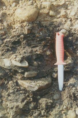
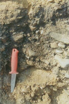
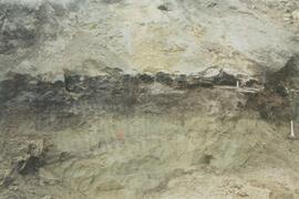
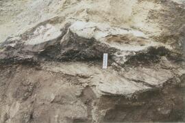
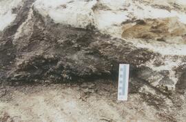
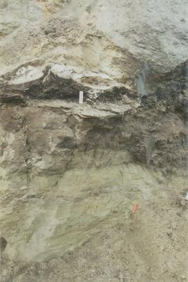
Site Description: Roadcut at base of 30º, E-facing slope. Colluviated loess overlies sandy glaciofluvial at 120 cm. Prominent paleosol with “cumulic” B horizon at 80-120 cm, with strong effervescence throughout exposure.
Print roll 11, #3A-5A (profile), #6A-10A (landscape)
Corresponding slides: slide roll 6, #9-7 (profile), #6-1 (landscape)
Sample Depths & Descriptions: Y04-19-01 – charcoal at 95 cm
Roadcut opposite ~ 30 m to NE on grassy S aspect (10° slope) with 15-20 cm of calcareous loess and sand over 2 cm White River ash; strongly effervescent throughout.
Print roll 11, #11A-12A (profile)
Corresponding slides: slide roll 7, #36-35 (profile)
Thorsen Bay landscape
Print roll 11, #13A-16A
Corresponding slides: Slide roll 7, #34-32
Y04-20B
Date: July 22, 2004
Location Coordinates: 61º 10’ 16.5” N, 138º 26’ 18.7’ W, 797.5 m asl (± 5.9 m)
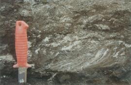
Site Description: wind-eroded Slims soil on glaciolacustrine with contorted bedding (exposed on blown-out roadcut); calcareous to surface; White R ash pockets at 10-20 cm; S aspect, 5° slope.
Print roll 11, #17A-21A
Corresponding slides: Slide roll 7, #31-26
Y04-22
Date: July 22, 2004
Location Coordinates: 61º 9’ 39.24” N, 138º 25’ 7.8’ W, 790.6 m asl (± 6.4 m)
Site Description: toe of 30° slope, W aspect (grassy slope with poplar at toe); 1.0-1.2 of colluviated loess over gravelly glaciofluvial with buried soil at 70-80 cm
Print roll 11, #22A-24A
Corresponding slides: Slide roll 7, #25-24
File consists of notes and reproductions relating to John Prince Myers, one of the founders of Cranbrook Sawmill, and his house at 1633 Norwood Street that burnt down in 1933. File primarily consists of photocopied newspaper articles relating to the Cranbrook Sawmill and the burning of the house at 1633 Norwood Street, and printed copies of photographs from The Exploration Place Museum database depicting the house and sawmill. Includes printed email chain between Greg Halseth, Kent Sedgwick, and John G . Myers (Sept. 2004).
File consists of notes and reproductions relating to the ownership and chronology of Giscome Farm Ltd., on District Lot 9937 Cariboo District in Giscome, British Columbia.
File consists of information pages on seed prices for White Spruce, Lodgepole Pine, and Douglas Fir. File also includes email correspondence between Phil LaPage, Harry Coates, and Dave Coates. File also includes a page from the SPAR - Seed Planning and Registry for seedlot number 31456.
Photograph depicts the Mackenzie Valley and the Franklin Mountains. Pipeline is visible.
Photograph depicts the Mackenzie Valley and the Franklin Mountains. Pipeline is visible.
Photograph depicts the Mackenzie Valley and the Franklin Mountains.
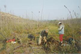
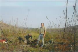
Photograph depicts scientists Alejandra Duk-Rodkin (GSC) and Rene Barendregt (U Lethbridge) working at the Norman Range site.
Photograph depicts scientists Paul Sanborn and Rene Barendregt (U Lethbridge) working at the Norman Range site.
Data set "Yukon-AK 2004 soils data (Lost Chicken).xls" consists of Pliocene Rego Humic Gleysol (peaty) data from the Lost Chicken Mine site.
This PDF contains site location data and annotated soil profile photographs for soil charcoal samples at the Silver City section (site Y03-11).
This file contains the following photographs in both print photograph and negative format:
Kluane Lake (S. shore, near Kluane Lake Research Station)
Print roll 10, # 34-36
