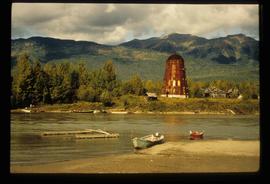
Image depicts several boats on what appears to be a river, and an old beehive burner in Penny, B.C.
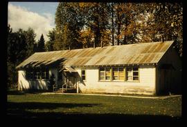
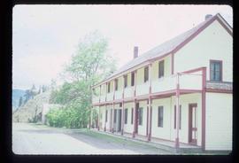
Image depicts a two-room schoolhouse in Penny, B.C.
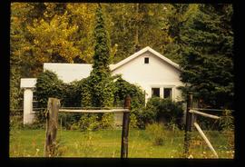
Image depicts a house with ivy growing over it. The location is uncertain.
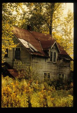
Image depicts an old house with a torn up roof. The location is uncertain.
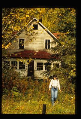
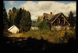
Image depicts an old house in Penny and a woman, possibly Sue Sedgwick, standing in front of it. The location is uncertain.
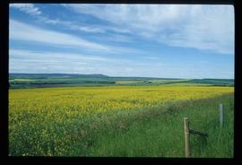
Image depicts a field of yellow plants at an uncertain location.
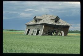
Image depicts an old, collapsing cabin which is sloped sideways. The location is uncertain.
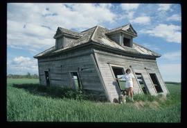
Image depicts Sue Sedgwick and a dog standing next to an old, collapsing cabin which is sloped sideways. The location is uncertain.
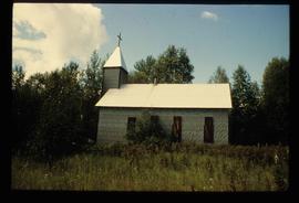
Image depicts a church at an uncertain location.
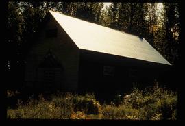
Image depicts what appears to be a shed at an uncertain location.
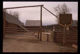
Image depicts the Cottonwood House Historic Site along Barkerville Highway, east of Quesnel, B.C. A sign posted by the fence reads: "For over half a century the Boyd family operated this haven for man and beast. Here weary travellers found lodging, food, and drink. Here fresh horses were hitched to stage-coaches and miners bought supplies. This historic road-house, built in 1864, stood as an oasis of civilization on the frontier of a rich new land."
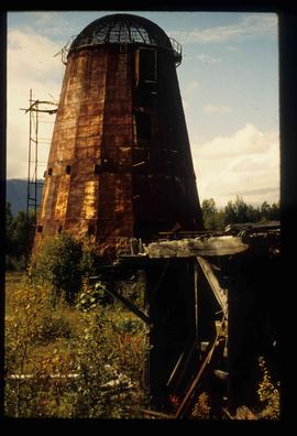
Image depicts an old beehive burner at an uncertain location.
Image depicts an old and abandoned cabin with ivy growing up the side. The location is uncertain.
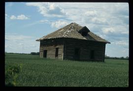
Image depicts an old abandoned cabin at an uncertain location.
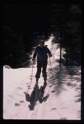
Image depicts an unidentified man cross country skiing somewhere on Tabor Mountain in Prince George, B.C.
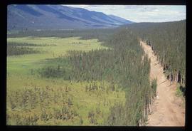
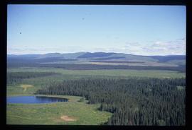
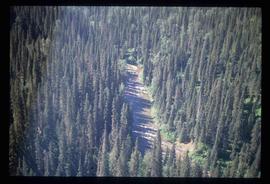
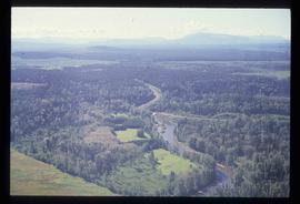
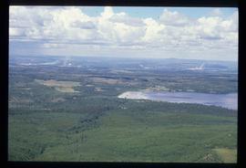
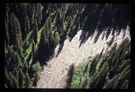
Image depicts an aerial view of a forest somewhere in the area of Divide Lake.
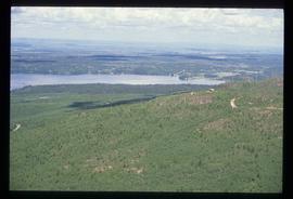
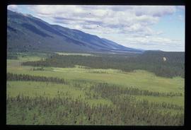
Image depicts an aerial view of the land in the area of Divide Lake.
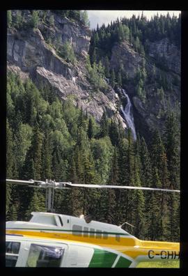
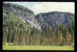
Image depicts the "Divides Lake Waterfall."
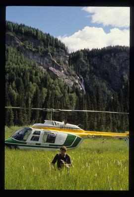
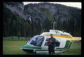
Image depicts the "Divides Lake Waterfall" as well as a man in front of a helicopter in the foreground.
Image depicts the "Divides Lake Waterfall."
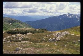
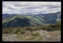
Image depicts a view of James Creek Valley.
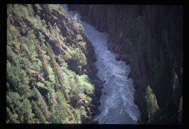
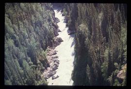
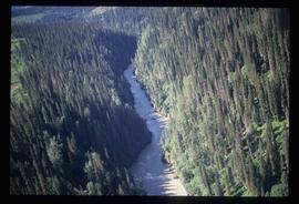
Image depicts a view of the Herrick River in what is possibly McGregor Canyon; the slide is simply labelled "McG above Canyon."
Image depicts the cutbanks on the other side of the Nechako, taken from the nature trail at Island Cache. Map coordinates 53°55'34.6"N 122°45'52.4"W
Image depicts the cutbanks on the other side of the Nechako, taken from the nature trail at Island Cache. Map coordinates 53°55'34.6"N 122°45'52.4"W
Image depicts a view over Tabor Mountain.
Image depicts a view of an experimental farm, possibly taken from Tabor Mountain.
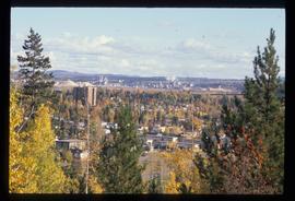
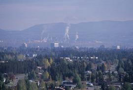
Image depicts Prince George, possibly with the Northwood Pulpmill in the background.
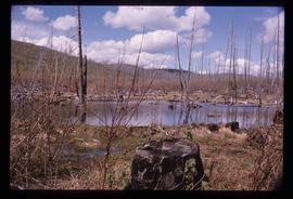
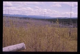
Image depicts a forest of dead trees on the slopes of Tabor Mountain in Prince George, B.C.
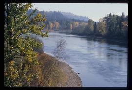
Image depicts a river, possibly the Nechako, in Prince George, B.C. Possibly taken from the Foothills Bridge.
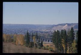
Image depicts the Grand Trunk Railway bridge across the Fraser River. Map coordinates 53°54'29.0"N 122°42'06.5"W
Image depicts Prince George, possibly with the Northwood Pulpmill in the background.
Image depicts an aerial view of a forest somewhere in the area of Divide Lake.
Image depicts an aerial view of a forest somewhere in the area of Divide Lake.
Image depicts a view of the Herrick River in what is possibly McGregor Canyon; the slide is simply labelled "McG Canyon."
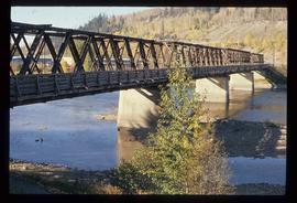
Image depicts a bridge in Prince George, B.C.
Image depicts a view of Prince George.
Image depicts a view of Tabor Lake.
Image depicts a forest of dead trees on the slopes of Tabor Mountain in Prince George, B.C.
Image depicts a man standing in front of a helicopter; a waterfall is visible on the cliffs in the background. The slide itself is labelled "BC Parks Tour."
Image depicts a view of James Creek Valley.
Image depicts a view of the Herrick River in what is possibly McGregor Canyon; the slide is simply labelled "McG Canyon."
Image depicts a view of the Herrick River in what is possibly McGregor Canyon; the slide is simply labelled "McG above Canyon."
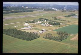
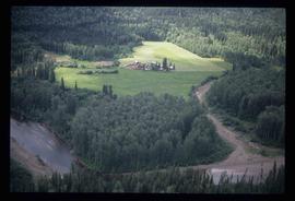
Image depicts an aerial view of what appears to be a small farm, possibly in the McGregor Canyon.
Image depicts the cutbanks on the other side of the Nechako, taken from the nature trail at Island Cache. Map coordinates 53°55'34.6"N 122°45'52.4"W
Image depicts a view of Blackburn Schools, possibly taken from Tabor Mountain.
Image depicts Prince George, possibly with the Northwood Pulpmill in the background.
Image depicts a bridge in Prince George, B.C.
Image depicts a view of the Herrick River in what is possibly McGregor Canyon; the slide is simply labelled "McG Canyon - above Herrick."
Image depicts a "box barn" on the historic Hat Creek Ranch site north of Ashcroft, B.C.
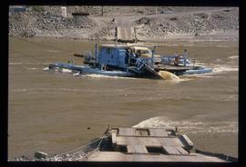
Image depicts a ferry on a river, possibly the Fraser River in the Lillooet area.
