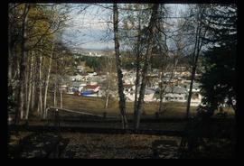
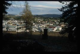
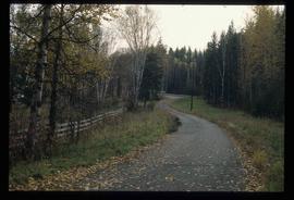
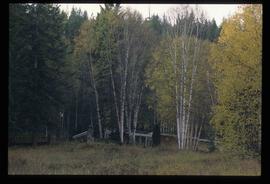
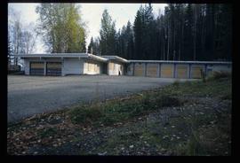
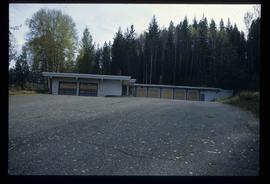
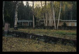
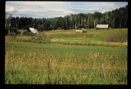
Image depicts a Prince George residential area from the viewpoint of the Ginter Property.
Image depicts a Prince George residential area from the viewpoint of the Ginter Property.
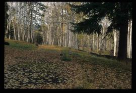
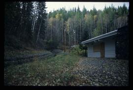
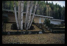
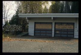
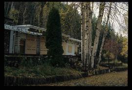
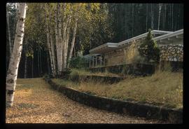
Image depicts the Ginter Property in Prince George, B.C.
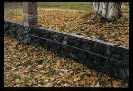
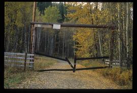
Image depicts what appears to be a part of a fence on the Ginter Property in Prince George, B.C.
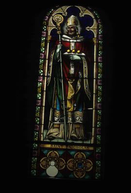
Image depicts a stained glass window showing Saint Nicholas from the interior of a church in Shelley, B.C.
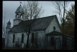
Image depicts the church after its restoration in Shelley, B.C.
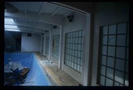
Image depicts the interior of the Ginter House in Prince George, B.C.
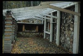
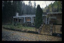
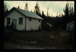
Image depicts the Ginter House in Prince George, B.C.
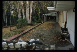
Image depicts a road near the Ginter House in Prince George, B.C.
Image depicts 1461 Ingledew in Prince George, B.C.
Image depicts the church after its restoration in Shelley, B.C.
Image depicts Prince George, B.C.
Image depicts the Ginter House in Prince George, B.C.
Image depicts the interior of the Ginter House in Prince George, B.C.
Image depicts the Ginter House in Prince George, B.C.
Image depicts the Ginter House in Prince George, B.C.
Image depicts a road near the Ginter House in Prince George, B.C.
Image depicts the Ginter House in Prince George, B.C.
Image depicts the Ginter House in Prince George, B.C.
Image depicts the Ginter House in Prince George, B.C.
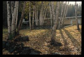
Image depicts the Ginter House and the surrounding woods, in Prince George, B.C.
Image depicts the Ginter House in Prince George, B.C.
Image depicts the Ginter House in Prince George, B.C.
Image depicts the Ginter House in Prince George, B.C.
Image depicts the Ginter House in Prince George, B.C.
Image depicts the Ginter House in Prince George, B.C.
Image depicts a private driveway, most likely leading to the Ginter Property in Prince George, B.C.
Image depicts 1423 Ingledew in Prince George, B.C.
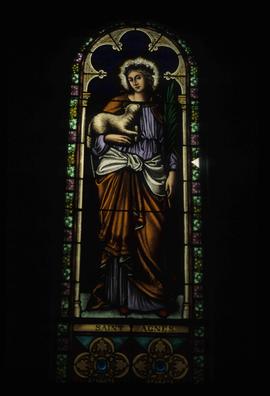
Image depicts a stained glass window showing Saint Agnes from the interior of a church in Shelley, B.C.
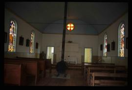
Image depicts the interior of the church after its restoration, in Shelley, B.C.
Image depicts a cookhouse at Sinclair Mills, B.C.
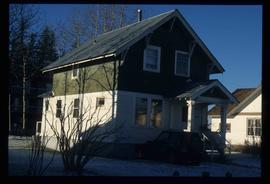
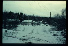
Image depicts a snow-covered road with vehicle tracks, and several houses. The location is uncertain.
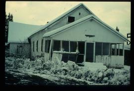
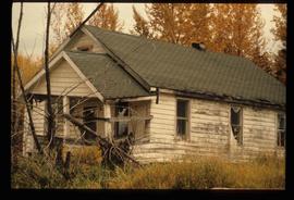
Image depicts a dilapidated house in Sinclair Mills, B.C.
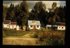
Image depicts a small house with brightly coloured door and window frames in Penny, B.C.
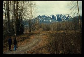
Image depicts mountains in the background and two unidentified individuals standing on a dirt road in the bottom left corner. The location is uncertain, likely Longworth, B.C.
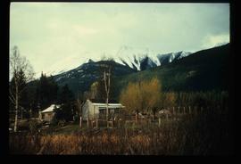
Image depicts a house surrounded by trees and a mountain in the background; it is most likely located somewhere in or near Longworth, B.C.
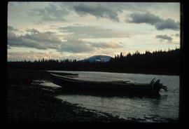
Image depicts a riverboat on the Fraser River, possibly in Longworth, B.C.
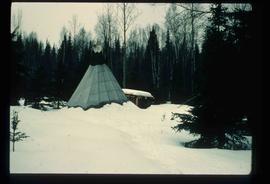
Image depicts what appears to be a teepee at an uncertain location.
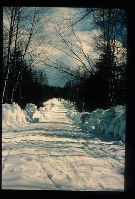
Image depicts a road covered in snow running through the woods at an uncertain location.
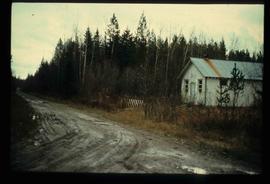
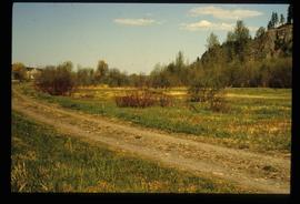
Image depicts a dirt road and a possibly abandoned building at an uncertain location.
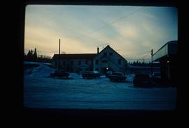
Image depicts an older building with numerous vehicles parked out front in Upper Fraser, B.C. Map coordinates 54°07'03.5"N 121°56'34.4"W
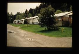
Image depicts a row of houses in Upper Fraser, B.C. Map coordinates 54°06'51.6"N 121°56'26.3"W
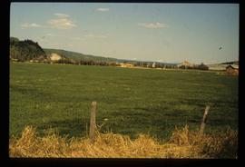
Image depicts a field in Giscome, B.C. On the right side of the image, in the background, is a grey strip that appears to be a mine, possibly the quarry at Eaglet Lake in Giscome, B.C. Map coordinates 54°03'52.9"N 122°22'10.0"W
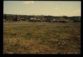
Image depicts the Giscome B.C. townsite from across the railroad tracks looking southeast. Map coordinates 54°04'19.7"N 122°22'04.7"W
Image decpicts the old road to the townsite in Giscome, B.C. Map coordinates 54°04'19.7"N 122°22'04.7"W
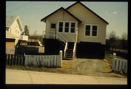
Image depicts a house with the main floor and entrance high off the ground. The location is uncertain, likely Giscome, B.C.
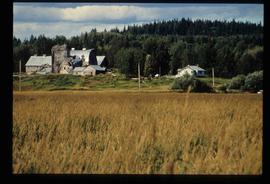
Image depicts a large, old and collapsing barn, as well as a nearby house of the dairy farm in Giscome, B.C. Map coordinates 54°03'53.3"N 122°21'22.6"W
Image depicts the former location of employee houses on mill site in Giscome, B.C. Map coordinates 54°04'23.4"N 122°22'16.9"W
Image depicts several old buildings in a field, one of which has a caved-in roof, in Newlands, B.C. Map coordinates 54°06'28.2"N 122°12'01.0"W
Image depicts three people standing at the front door of a house at an uncertain location.
