2012.13.1.56.18
·
Item
·
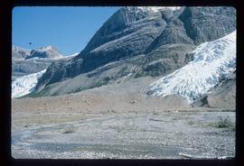
1973
Part of J. Kent Sedgwick fonds
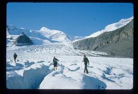
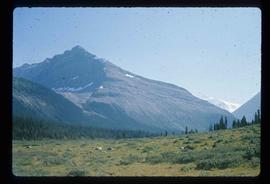
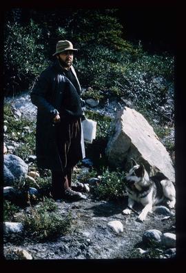
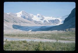
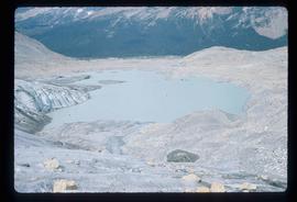
Image depicts the Mist Glacier on the slope of Mt. Robson.