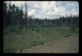
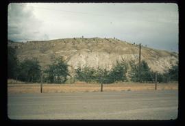
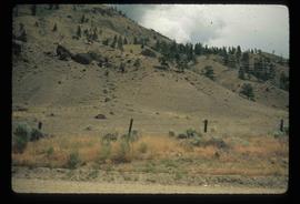
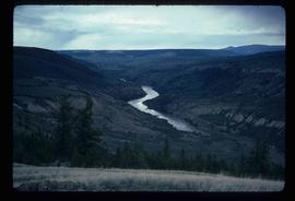
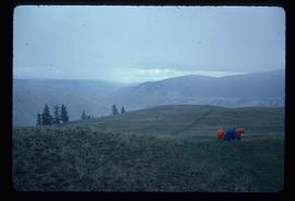
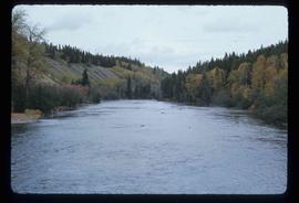
Image depicts an area of forests and fields somewhere near Fort St. John, B.C.
Image depicts the Cariboo Road south of Williams Lake.
Image depicts a stretch of land from Highway 97 near 100 Mile House, B.C.
Image depicts a section of land from Highway 97 near Cache Creek, B.C.
Image depicts a rail road construct from Highway 97 at Mile 126; the slide is also labelled "McAlister."
Image depicts a stretch of land from Highway 97 at Mile 231, possibly near Clinton, B.C.
Image depicts some cacti somewhere near Soda Creek, B.C.
Image depicts a loading truck at the Gibraltar mine site north of Williams Lake, B.C.
Image depicts an aerial view of Strathnaver, B.C.
Image depicts a view of the mountains surrounding Lillooet, B.C.
Image depicts a rail road bridge over the Fraser River, possibly somewhere in the Lillooet area.
Image depicts an irrigation ditch in Lillooet, B.C.
Image depicts the Cariboo Road at Hat Creek Ranch, near Highway 99 on the way to Lillooet.
Image depicts a section of land from Highway 97 near Cache Creek, B.C.
Image depicts the Watson Mansion at Mile 108 of Highway 97. It was built by Captain Geoffrey Watson in 1904, and was burned down by a chimney fire in 1983.
Image depicts an 80 tonne truck full of rocks at the Gibraltar mine site north of Williams Lake, B.C.
Image depicts an aerial view of a stretch of power lines somewhere near Williams Lake, B.C.
Image depicts a basalt landform somewhere in or near Quesnel, B.C.
Image depicts a road with a guardrail and open fields somewhere near Dawson Creek, B.C.
Image depicts a section of the Peace River blocked off by the W.A.C. Bennett Dam. The dam itself is not visible in the image.
Image depicts a view of the Fraser River in Lillooet, B.C.
Image depicts a view of the mountains surrounding Lillooet, B.C.
Image depicts some farmland in Lillooet, B.C.
Image depicts the Bridge River near Lillooet, B.C.
Image depicts a section of river located somewhere near Barriere, B.C.
Image depicts an aerial view of a grooved region of land at an uncertain location.
Image depicts an example of varves, an annual layer of sediment or rock, with a pipe used for reference size. It is possibly located at the airport in Prince George, B.C.
Image depicts sand beds with a shovel present for size reference. The slide places it at the "BCR site," possibly in Prince George, B.C.
Image depicts numerous skiers on the Birchleg Ski route on Tabor Mountain in Prince George, B.C.
Image depicts numerous skiers cross-country skiing on a trail through trees on the Birchleg Ski route on Tabor Mountain in Prince George, B.C.
Image depicts a view of the area around Tabor Mountain in Prince George, B.C.
Image depicts numerous skiers and skis that are standing upright in in the snow on Tabor Mountain in Prince George, B.C.
Image depicts the Fraser River running through the Moran Canyon near Lillooet, B.C.
Image depicts an area around Lillooet, B.C. It is possibly the Fraser River running through the Moran Canyon.
Image depicts a view of the Fraser River, as well as a road and railroad, near the Moran Canyon.
Image depicts a group of people hiking, possibly somewhere near Riske Creek, B.C.
Image depicts what is possibly either the Fraser or Chilcotin River.
Image depicts four hikers putting on rain parkas.
Image depicts what is possibly the Chilcotin River.
Image depicts the BCR tracks passing through a mill somewhere near the 100 Mile.
Image depicts an aerial view of the Gibraltar mine site's pits and waste dumps, north of Williams Lake, B.C.
Image depicts the Stellako River.
Image depicts a view of the Fraser Lake from Lejac, B.C.
Image depicts the Rocky Mountain Trench from McBride, B.C.