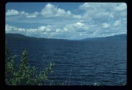
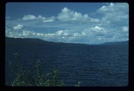
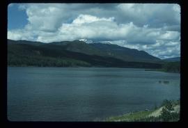
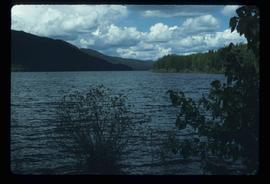
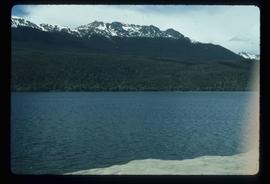
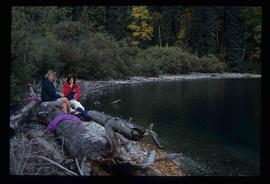
Image depicts two cabins on the shore near the lodge at Takla Lake.
Image depicts the "north-west arm" of Takla lake.
Image depicts a west-looking view of Trembleur Lake.
Image depicts Middle River by Trembleur Lake.
Image depicts a few piles of culverts in Leo Creek, B.C.
Image depicts the BCR station in Leo Creek, B.C.
Image depicts a building, possibly an office building, next to a set of rail road tracks in Leo Creek, B.C. An unknown individual is present, and a number of barrels and culverts are visible in the foreground.
Image depicts Takla Lake west of Leo Creek.
Image depicts woods located west of Leo Creek, with mountains in the distance.
Image depicts Takla Lake west of Leo Creek.
Image depicts a mountain and Takla Lake.
Image depicts the government houses located at the Takla Landing.
Image depicts rail road tracks west of Takla Landing.
Image depicts an aerial view of a forest somewhere in the area of Divide Lake.
Image depicts an aerial view of the land in the area of Divide Lake.
Image depicts a man standing in front of a helicopter; a waterfall is visible on the cliffs in the background. The slide itself is labelled "BC Parks Tour."
Image depicts the "Divides Lake Waterfall."
Image depicts the "Divides Lake Waterfall" as well as a man in front of a helicopter in the foreground.
Image depicts the "Divides Lake Waterfall."
Image depicts a view of James Creek Valley.
Image depicts a view of the Herrick River in what is possibly McGregor Canyon; the slide is simply labelled "McG Canyon - above Herrick."
Image depicts a view of the Herrick River in what is possibly McGregor Canyon; the slide is simply labelled "McG Canyon."
Image depicts a view of the Herrick River in what is possibly McGregor Canyon; the slide is simply labelled "McG above Canyon."
Image depicts an aerial view of what appears to be a small farm, possibly in the McGregor Canyon.
Image depicts a woman named "Gail" on a trail to Portage Lake.
Image depicts Divide Lake.
Image depicts two women sitting on a fallen tree on the shore of a lake, possibly Portage Lake; the woman in blue is "Gail," and the woman in red is Sue Sedgwick.
Image depicts the North end of Portage Lake.
Image depicts a sign titled "Chilcotin Wildlife Management Area" somewhere near Riske Creek, B.C. It reads: "This trail has been provided by the Fish and Wildlife Branch in co-operation with Riske Creek Ranching Ltd., as access to the Chilcotin Wildlife Management Area. Please do not leave the the trail as the surrounding land is private property."
Image depicts a group of people and two vans, apparently preparing to set out on a hike somewhere near Riske Creek, B.C.
Image depicts a group of hikers examining something on the ground, most likely the small pink flower that is barely visible in the grass. The location is possibly near Riske Creek.
Image depicts several orange and blue tents, possibly somewhere near Riske Creek, B.C.
Image depicts a group of hikers, possibly somewhere near Riske Creek, B.C.
Image depicts a group of hikers listening to a man, possibly a guide, speak. The location is possibly near Riske Creek, B.C.
Image depicts a group of people hiking, possibly somewhere near Riske Creek, B.C.
Image depicts what is possibly either the Fraser or Chilcotin River.
Image depicts a view of the scenery, with three hikers in the bottom left corner of the image.
Image depicts a group of hikers and a dog walking down a hill.
Image depicts a group of hikers on a hiking trail.
Image depicts a view of the landscape of the Chilcotin Wildlife Area.
Image depicts four hikers putting on rain parkas.
Image depicts what is possibly the Chilcotin River.
Image depicts a view of the landscape of the Chilcotin Wildlife Area.