2008.2.1.05
·
Item
·
1921
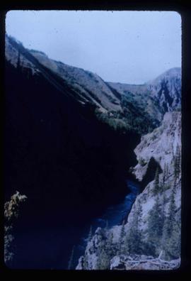
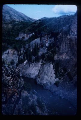
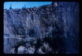
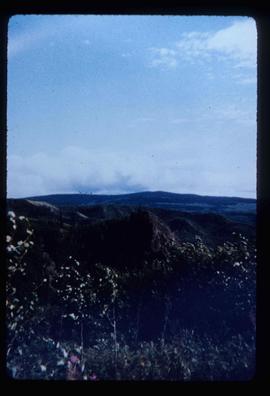
Part of Northern BC Cartographic Collection
Colour-coded geological topographic map. Geological Survey produced for the Bureau of Economic Geology, Department of Mines, Bureau of Economic Geology, Canada. Includes detailed topographic cross section.