Showing 1046 results
Archival description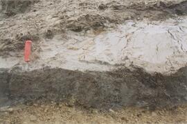
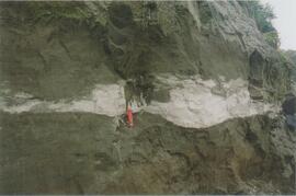
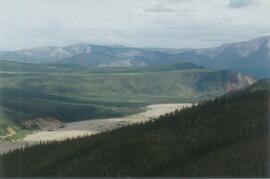
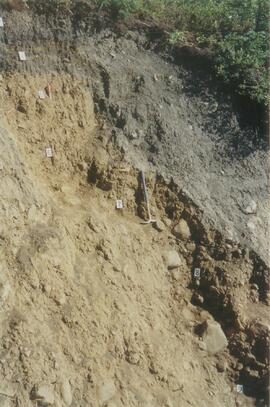
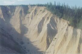
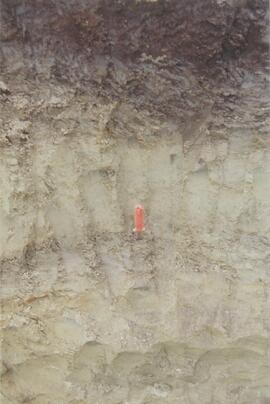
Site Y04-02 detail (1)
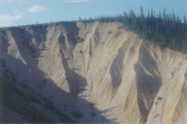
Site Y04-02 detail (3)
Site Y04-03 (3)
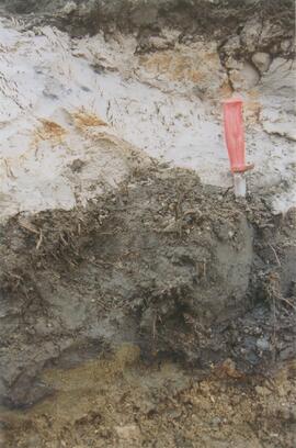
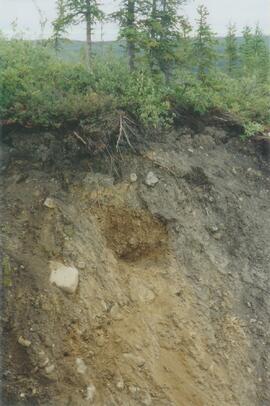
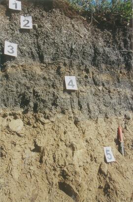
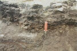
Site Y04-04 detail (1)
Site Y04-04 detail (2)
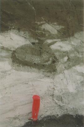
Site Y04-04 detail (6)
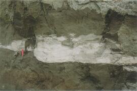
Site Y04-04 (2)
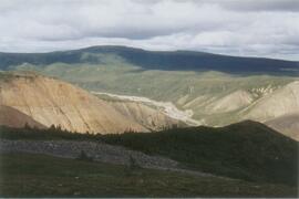
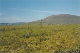
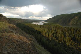
Gold Bottom transect - north aspect lower slope (5)
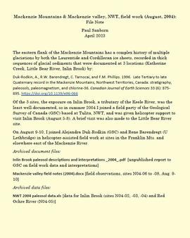
Mackenzie Mountains and Mackenzie Valley, NWT field work
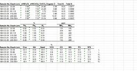
Paleosol data from Inlin Brook and Red Ochre River sites
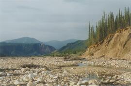
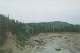
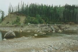
Little Bear River (1)
Little Bear River (7)
Little Bear River (12)
Little Bear River (13)
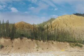
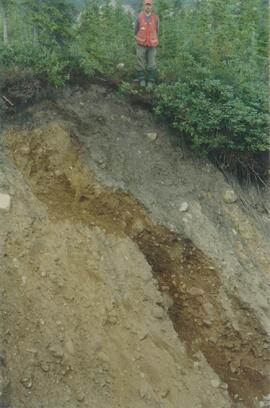
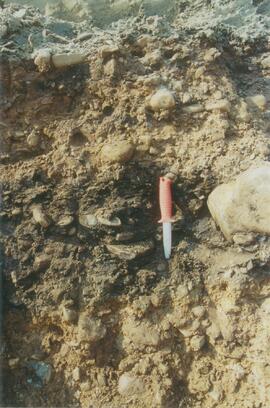
Inlin Brook campsite (1)
Inlin Brook campsite (3)
Inlin Brook campsite (4)
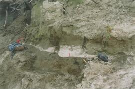
Site N04-03 partial exposure (2)
Inlin Brook upper section (2)
Site N04-03 before sampling (2)
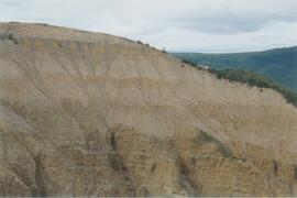
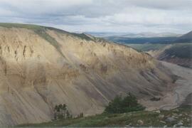
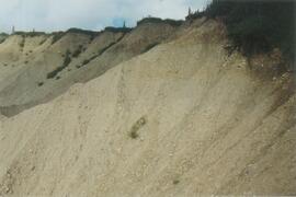
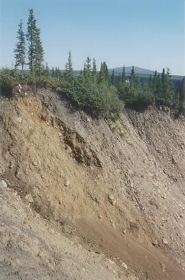
Inlin Brook panorama (6)
Inlin Brook - top of section (4)
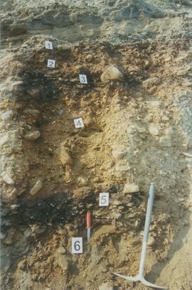
Site N04-03 (1)
Site N04-03 (2)
Site N04-03 (3)
Site N04-03 (4)
Site N04-03 (11)
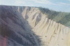
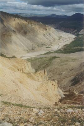
Inlin Brook section aerial view (1)
Inlin Brook section aerial view (2)
Site N04-04 (4)
Red Ochre River (2)
Red Ochre River (3)
Red Ochre River (4)
Site N04-05 Red Ochre River (5)
Site N04-05 Red Ochre River (9)
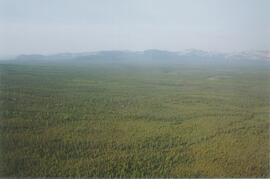
Mackenzie Valley - Franklin Mountains (1)
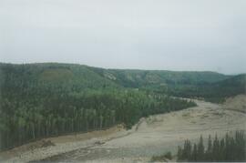
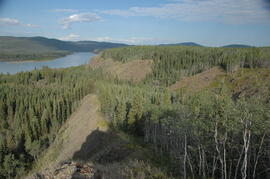
Mackenzie River south of Tulita
Norman Range (3)
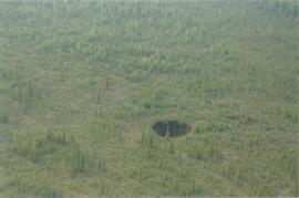
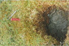
Norman Range sinkhole
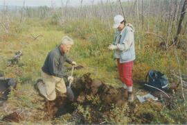
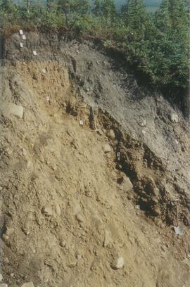
Norman Range site with loess over till (1)

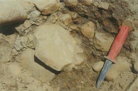
Paleosols at the Lost Chicken Mine, Chicken, Alaska
Site Y04-18 at Lost Chicken Mine (2)
Site Y04-18 at Lost Chicken Mine (3)
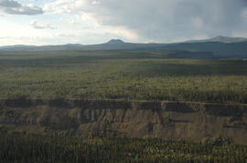
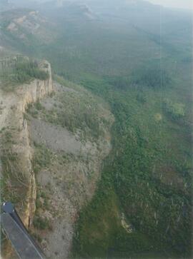
Early Pleistocene basalt cliffs on the north side of the Yukon River
Early Pleistocene basalt cliffs on the north side of the Yukon River

North side of the Yukon River, mid-Pleistocene basalts west of gully
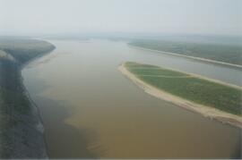
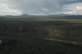
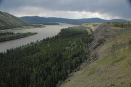
Camp 1, facing east up the Yukon River
Camp 1, facing west down the Yukon River

Near Camp 1, facing west down the Yukon River
East of Camp 1, facing west down the Yukon River