Aperçu avant impression Fermer

Affichage de 2347 résultats

Archival description
1046 résultats avec objets numériques Afficher les résultats avec des objets numériques
ESSF 96, SBS 95
2016.7.3.13 · Dossier · Aug. 1996
Fait partie de Dr. Joselito Arocena fonds

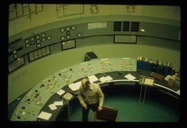
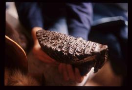
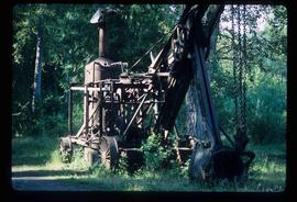
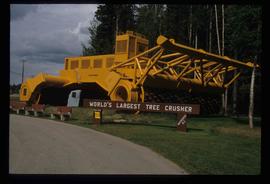
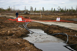
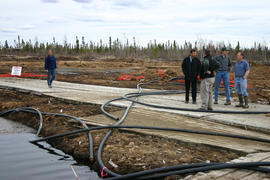
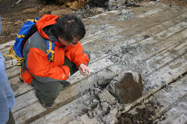
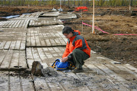
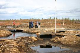
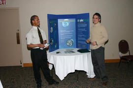
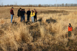
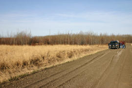
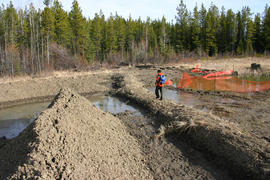
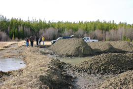
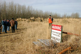
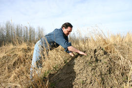
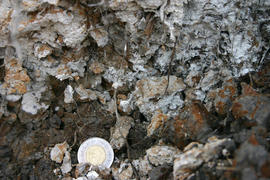
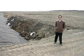
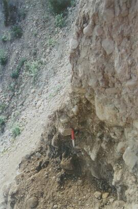
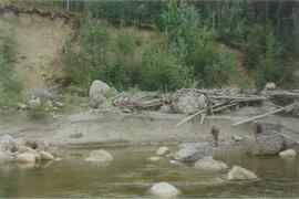
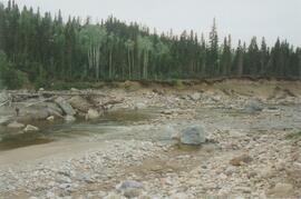
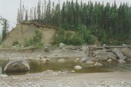
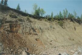
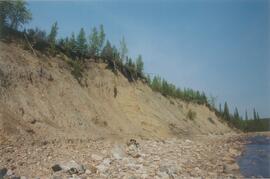
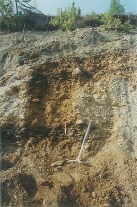
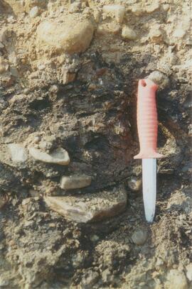
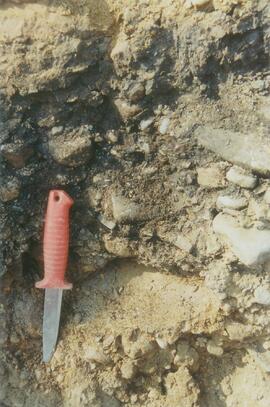
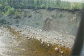
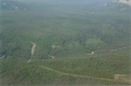
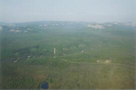
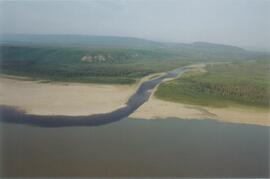
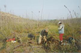
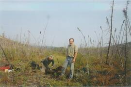
File consists of slides depicting research samples and sites, possibly relating to "ESSF 96, SBS 95".

Logs and Machinery
2012.13.1.87.056 · Pièce · [between 1975 and 1995]
Fait partie de J. Kent Sedgwick fonds

Image depicts numerous piles of logs, and two unidentified individuals operating an excavator with a "thumb" attachment during the demolition of the Upper Fraser town site. Map coordinates 54°06'51.6"N 121°56'26.3"W

Fort St. John? - Old Farm Equipment
2012.13.1.93.29 · Pièce · 1978
Fait partie de J. Kent Sedgwick fonds

Image depicts numerous pieces of what appears to be old farming equipment. There is also an unidentified individual sitting aginst the side of a building. The location is possibly Fort St. John, B.C.

Computer Room?
2012.13.1.93.52 · Pièce · 1978
Fait partie de J. Kent Sedgwick fonds

Image depicts what appears to be a computer room at an uncertain location, possibly in Fort St. John, B.C.

Cypress Hill?
2012.13.1.121.09 · Pièce · July 1970
Fait partie de J. Kent Sedgwick fonds

Image depicts two unidentified individuals and a van on a farm at an uncertain location, possibly a place called Cypress Hill, with an atmometer and a sunshine recorder.

Lajoie Dam on the Bridge River
2012.13.1.59.25 · Pièce · July 1980
Fait partie de J. Kent Sedgwick fonds

Image depicts the Lajoie Dam on the Bridge River, upstream side, showing part of Downton Lake and, in the foreground, the spillway intake.

Fossilised Mammoth Tooth
2012.13.1.15.42 · Pièce · [1975?]
Fait partie de J. Kent Sedgwick fonds

Image depicts a fossilised mammoth tooth found by Ray Mueller. Photograph taken at map coordinates 54.014188, -121.676973

Machinery
2012.13.1.31.20 · Pièce · 1985
Fait partie de J. Kent Sedgwick fonds

Image depicts a large, old piece of machinery, possibly some form of mining or prospecting equipment; it is located in Quesnelle Forks, B.C.

Mosquito Creek Gold Mining
2012.13.1.37.05 · Pièce · 1974
Fait partie de J. Kent Sedgwick fonds

Image depicts several unknown individuals present as a piece of machinery is used to assist in the mining of gold at Mosquito Creek in Wells, B.C.

Posthumous Records
2016.7.4 · Série organique · 2015-2019
Fait partie de Dr. Joselito Arocena fonds

Series consists of records created and collected after Dr. Joselito Arocena's death on December 20, 2015. Includes information about Arocena's work in China, photographs and video of the unveiling of the Lito Lab, and video recordings and presentation materials from a memorial lecture for Dr. Joselito Arocena by Mike Rutherford, Hugues Massicotte, and Paul Sanborn.