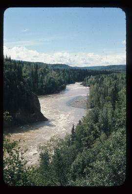
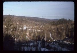
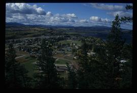
Image depicts an open mining pit at an uncertain location; it is possibly Gibraltar.
Image depicts a forest; the image is possibly taken from somewhere near the Cottonwood Rail Road Bridge.
Image depicts a sawmill somewhere in Quesnel, B.C.
Image depicts the St. Joseph's Mission in Williams Lake, B.C.
Image depicts 153 Mile House.
Image depicts a chasm full of trees at an unknown location.
Image depicts the Dunlevy Creek area somewhere near Dawson Creek, B.C. The slide is simply labelled "Dunlevy irrigation" for uncertain reasons.
Image depicts what appears to be an old mill at an unknown location.
Image depicts a couple of salmon in the Stellako River.
Image depicts a view of Francois Lake.
Image depicts the Bulkley River near Moricetown, B.C.
Image depicts the Bulkley River.
Image depicts the Skeena River at Hazelton, B.C.
Image depicts Burns Lake, B.C.
Image depicts numerous unknown individuals standing by the Bulkley River near Moricetown, B.C.
Image depicts a group of people at a mine somewhere near Hazelton, B.C.
Image depicts a couple of old, collapsing buildings at the Nautley site in Fort Fraser, B.C.
Image depicts numerous totem poles in Kispiox, B.C.
Image depicts the Skeena River at Hazelton, B.C.
Image depicts the Fulton River.
Image depicts a small group of people standing near the Bulkley River at Moricetown, B.C.
Image depicts a view of the scenery between Smithers and Telkwa, B.C.
Image depicts the Bulkley River running through Moricetown Canyon.
Image depicts Noralee, B.C.
Image depicts a view of the Fraser Lake skyline.
Image depicts a view of the Fraser Lake from the Fraser Lake campsite.
Image depicts the ferry in Isle Pierre, B.C.
Image depicts a lake at an uncertain location.
Image depicts the Nadina Delta at Francois Lake.
Image depicts a view of the forest surrounding Francois Lake.
Image depicts the old community hall located somewhere in the Wistaria Provincial Park.
Image depicts a river, possibly somewhere in the Wistaria Provincial Park.
Image depicts Southbank, B.C.
Image depicts Burns Lake, B.C.
Image depicts two bridges in Telkwa, B.C. One is for trains.
Image depicts a view of Fraser Lake.
Image depicts Nautley and the Nautley River near Fraser Lake, B.C.
Image depicts a stretch of land; the photo was taken from the top of Kenny Dam, south of Francois Lake.
Image depicts a bridge in Prince George, B.C.
Image depicts Prince George with numerous trees obscuring most of the view.
Image depicts Prince George.
Image depicts the Fraser River at Paddlewheel park, with a train on the other side of the river, in Prince George B.C.
Image depicts a view of Prince George.
Image depicts the Kenney Dam near Cheslatta, B.C.
Image depicts the Cheslatta River.
Image depicts the Cheslatta Falls.