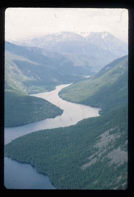
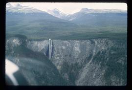
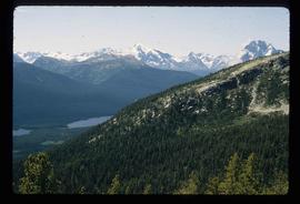
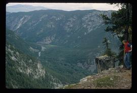
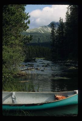
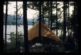
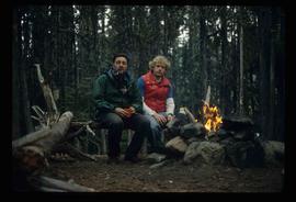
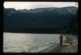
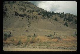
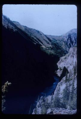
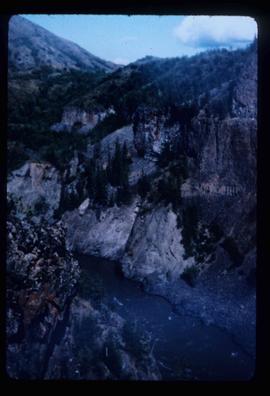
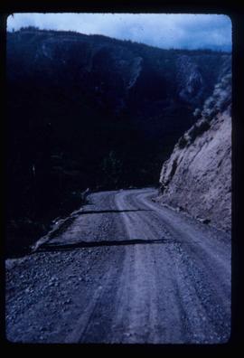
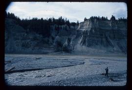
Image depicts the Cariboo Road at Hat Creek Ranch, near Highway 99 on the way to Lillooet.
Image depicts McLeod Lake and several buildings along the shore.
Image depicts buildings in the village community of Metlakatla, B.C.
Image depicts McLeod lake.
Photograph depicts the old hospital building in Wells. At the time the photo was taken, 1978, it was being used as an apartment building, and that is still its current use.
Image depicts Wells, B.C.
File contains slides depicting old geological maps of the Central Interior.
File contains slides depicting the grade for what was formerly the Pacific Great Eastern, and is now known as British Columbia Railway.
Image depicts the street sign for Iron Road South, which is located north of Woodpecker, B.C.
Image depicts a clearing through the woods, possibly an abandoned grade for the BCR. It is possibly located on Iron Road South, near Woodpecker B.C.
Image depicts a back road at an uncertain location, possibly near Iron Road North, north of Woodpecker, B.C.
Image depicts a water-filled ditch near a road somewhere in Woodpecker B.C.
Image depicts a north view of a road somewhere in Woodpecker, B.C.
Image depicts the Telegraph Creek.
Image depicts Telegraph Creek Road.
Image depicts a construction area somewhere in Tumbler Ridge, B.C.
Image depicts a small section of Turner Lake, with what is most likely Glacier Mountain in the distance; they are located in South Tweedsmuir Park, B.C.
Image depicts an aerial view of what is likely Glacier Mountain in South Tweedsmuir Provincial Park. The two lakes present are possibly Vista and Junker.
Image depicts an aerial view of a lake in South Tweedsmuir Provincial Park.
Image depicts an aerial view of a waterfall in South Tweedsmuir Provincial Park.
Image depicts an aerial view of a lake in South Tweedsmuir Provincial Park. It is possibly Lonesome Lake.
Image depicts an aerial view of a waterfall in South Tweedsmuir Provincial Park.
Image depicts an aerial view of South Tweedsmuir Provincial Park.
Image depicts a view of South Tweedsmuir Provincial Park. An unidentified man stands on the side of the image.
Image depicts a canoe on a river somewhere in South Tweedsmuir Provincial Park.
Image depicts a camp on the shore of a lake in South Tweedsmuir Provincial Park. The man sitting in the bottom right corner is possibly Kent Sedgwick.
Image depicts Kent Sedgwick (the man with a pipe in green) and an unknown individual sitting around a campfire somewhere in South Tweedsmuir Provincial Park.
Image depicts a lake in South Tweedsmuir Provincial Park. An unknown individual is walking along the shore.
Image depicts an unidentified man lighting a fire somewhere in South Tweedsmuir Provincial Park.
Image depicts a snow-covered cabin and a mountain in the distance. It is located somewhere near Birken, B.C.
Image depicts a mountain in the distance. It is located somewhere near Birken, B.C.
Image depicts a road located somewhere near Birken, B.C.
Image depicts the Place Glacier.
Image depicts the Place Glacier. There are two unknown individuals present.
Image depicts two unknown individuals at the Woolsey Glacier.
Image depicts a helicopter flying over the Woolsey Glacier.
File contains slides depicting Highway 97 South.
Image depicts the Fraser River from Highway 97 near Quesnel, B.C.
Image depicts a section of land from Highway 97 near Cache Creek, B.C.
Image depicts the Watson Mansion at Mile 108 of Highway 97. It was built by Captain Geoffrey Watson in 1904, and was burned down by a chimney fire in 1983.
Image depicts an 80 tonne truck full of rocks at the Gibraltar mine site north of Williams Lake, B.C.
Image depicts a view of the scenery near Hixon, B.C.
Image depicts a view of the Dunkley Lumber Mill in Strathnaver, B.C.
Image depicts the BCR, as well as the Dunkley Lumber Mill, in Strathnaver, B.C.
Image depicts a view of the scenery near Clinton, B.C.
Image depicts an aerial view of Williams Lake, B.C.
Image depicts an aerial view of a stretch of power lines somewhere near Williams Lake, B.C.
Image depicts the location of a slump type of landslide at Moose Heights, north of Quesnel, B.C.
Image depicts the cutbanks of the Fraser River at Soda Creek, B.C.