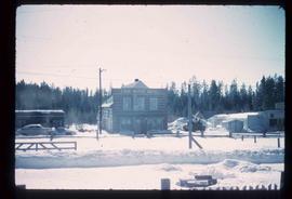
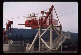
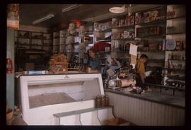
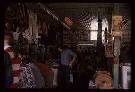
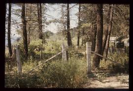
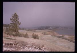
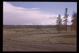
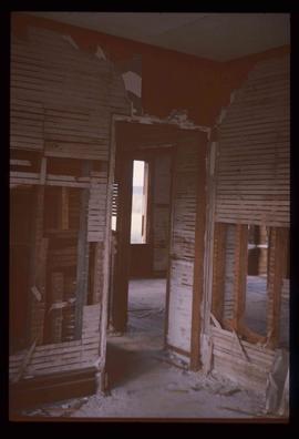
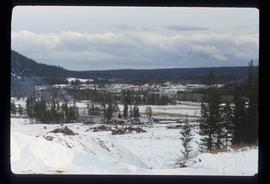
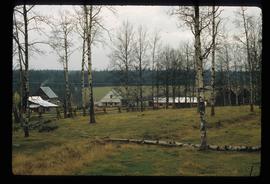
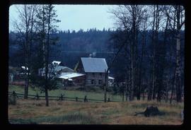
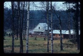
Image depicts the BCR, as well as the Dunkley Lumber Mill, in Strathnaver, B.C.
Image depicts what is likely the Dunkley Lumber Mill in Strathnaver, B.C.
Image depicts the Lone Butte Hotel in Lone Butte, B.C.
Image depicts an aerial view of Williams Lake, B.C.
Image depicts an aerial view of a stretch of power lines somewhere near Williams Lake, B.C.
Image depicts an aerial view of Strathnaver, B.C.
Image depicts an aerial view of Williams Lake, B.C.
Image depicts a structure that appears to be a type of zipline, ferry platform at an unknown location.
Image depicts a farm at an unknown location.
Image depicts a small foot bridge at an unknown location. The slide is simply labelled "Rudi's Bridge."
Image depicts an old log cabin with the sign "Robin Hood Flour" on it at an uncertain location. It is possibly at the 153 Mile House.
Image depicts an old convenience store, with a sign on it labelled "Al Crosina." It is located at the 153 Mile House.
Image depicts the interior of an old convenience store; there are several unknown individuals present. It is located at the 153 Mile House.
Image depicts the interior of an old convenience store; numerous unknown individuals are present. It is located at the 153 Mile House.
Image depicts the interior of a barn at a dairy farm located somewhere near Quesnel, B.C. Numerous unknown individuals are present.
Image depicts numerous pieces of machinery in the interior of a building at a dairy farm, located somewhere near Quesnel, B.C. Several unknown individuals are present.
Image depicts a bridge at Soda Creek, B.C. There are numerous unknown individuals present.
Image depicts what appears to be a Ranch at Soda Creek, B.C.
Image depicts a section of land, with a few houses, in Soda Creek, B.C.
Image depicts the cemetery in Soda Creek, B.C.
Image depicts 108 Mile Ranch, B.C.
Image depicts the Watson Mansion in 108 Mile Ranch, B.C. It burned down in 1983 as the result of a chimney fire.
Image depicts the ruined interior of a mansion at an unknown location.
Image depicts a log house at an uncertain location; the slide is simply labelled "Cariboo."
Image depicts a beehive burner, as well as rail road tracks, at an unknown location.
Image depicts a rail road bridge, possibly the Cottonwood Bridge, at an uncertain location.
Image depicts the Cottonwood Bridge.
Image depicts the train station in Quesnel, B.C.
Image depicts a farm at an uncertain location.
Image depicts what appears to be a farm at an uncertain location.
Image depicts what appears to be a sawmill at 100 Mile House, B.C.
Image depicts 100 Mile House, B.C.
Image depicts the St. Joseph's Mission in Williams Lake, B.C.
Image depicts 153 Mile House.
Image depicts the Crosina Store at 153 Mile House.
Image depicts numerous buildings in Hendrix Lake, B.C.
Image depicts the Bohanon House in Quesnel, B.C.
Image depicts numerous unknown individuals at the Bohanon House in Quesnel, B.C.
Image depicts the Bohanon House in Quesnel, B.C.
Image depicts the old jail house in Soda Creek, B.C.
Image depicts the old community hall in Soda Creek, B.C.
Image depicts a house in Soda Creek, B.C.
Image depicts the old BX Sternwheeler office building in Soda Creek, B.C.