Previsualizar a impressão Fechar

Mostrar 2849 resultados

Archival description
Tuya-Stikine site & soil notes
2023.2.2.12.3 · Item · Aug. 2007
Parte de Dr. Paul Sanborn fonds

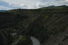
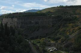
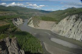
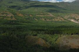
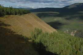
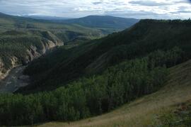
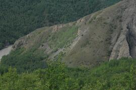
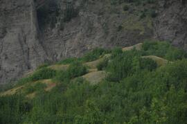
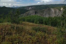
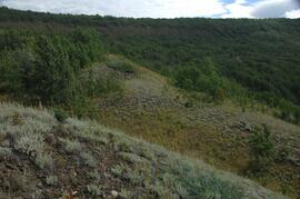
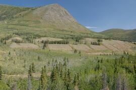
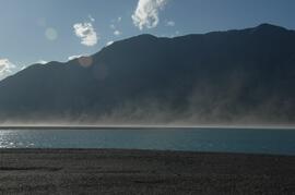
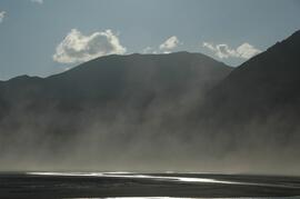
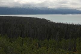
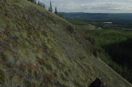
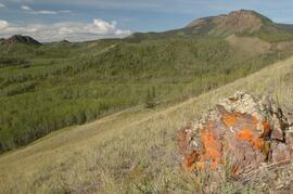
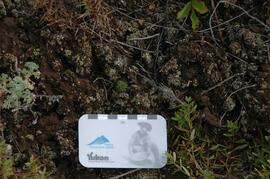
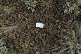
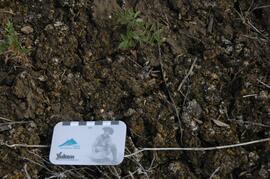
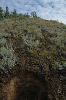
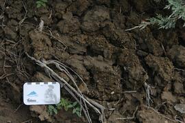
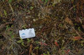
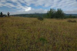
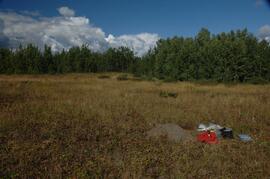
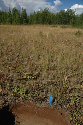
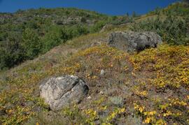
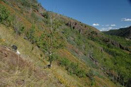
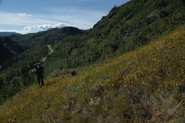
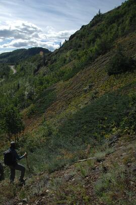
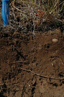
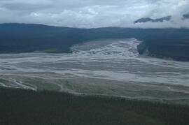
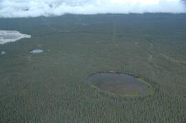
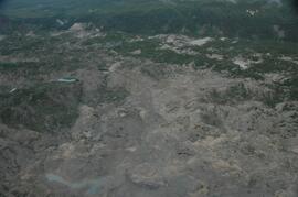
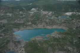
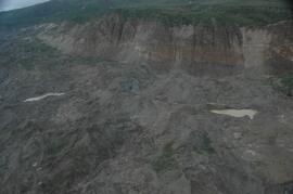
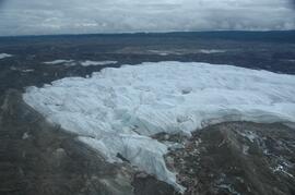
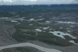
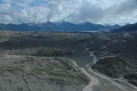
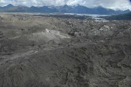
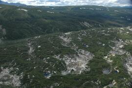
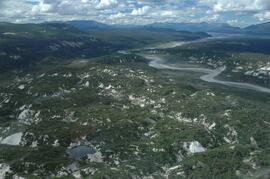
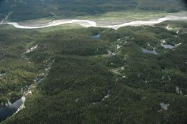
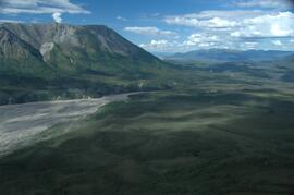
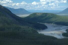
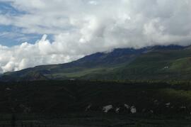
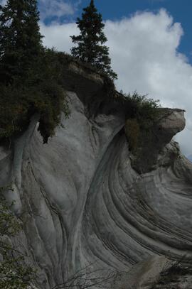
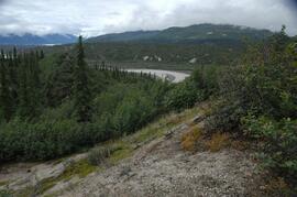
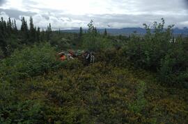
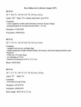
This document contains transcribed August 2007 field notes from 5 observation sites for Sanborn's comparative study of grassland soils in the Boreal Cordillera ecozone.

2023.2.2.13.2.06 · Item · 8 Jul. 2007
Parte de Dr. Paul Sanborn fonds

This image is part of the outbound sequence of aerial images obtained on the helicopter flight to the Klutlan Glacier study site. The sequence starts from the base camp at the White River crossing on the Alaska Highway and heads south, to a point just upvalley of the debris-covered terminus (approx. 10-15 km from Alaska border), and turning back north to the landing spot on the Generc River floodplain close to the study site (see Fig. 1 in paper).

2023.2.2.13.2.07 · Item · 8 Jul. 2007
Parte de Dr. Paul Sanborn fonds

This image is part of the outbound sequence of aerial images obtained on the helicopter flight to the Klutlan Glacier study site. The sequence starts from the base camp at the White River crossing on the Alaska Highway and heads south, to a point just upvalley of the debris-covered terminus (approx. 10-15 km from Alaska border), and turning back north to the landing spot on the Generc River floodplain close to the study site (see Fig. 1 in paper).

Debris-covered terminus of Klutlan Glacier
2023.2.2.13.2.19 · Item · 8 Jul. 2007
Parte de Dr. Paul Sanborn fonds

This image is part of the outbound sequence of aerial images obtained on the helicopter flight to the Klutlan Glacier study site. The sequence starts from the base camp at the White River crossing on the Alaska Highway and heads south, to a point just upvalley of the debris-covered terminus (approx. 10-15 km from Alaska border), and turning back north to the landing spot on the Generc River floodplain close to the study site (see Fig. 1 in paper).

Debris-covered terminus of Klutlan Glacier
2023.2.2.13.2.21 · Item · 8 Jul. 2007
Parte de Dr. Paul Sanborn fonds

This image is part of the outbound sequence of aerial images obtained on the helicopter flight to the Klutlan Glacier study site. The sequence starts from the base camp at the White River crossing on the Alaska Highway and heads south, to a point just upvalley of the debris-covered terminus (approx. 10-15 km from Alaska border), and turning back north to the landing spot on the Generc River floodplain close to the study site (see Fig. 1 in paper).

Debris-covered terminus of Klutlan Glacier
2023.2.2.13.2.23 · Item · 8 Jul. 2007
Parte de Dr. Paul Sanborn fonds

This image is part of the outbound sequence of aerial images obtained on the helicopter flight to the Klutlan Glacier study site. The sequence starts from the base camp at the White River crossing on the Alaska Highway and heads south, to a point just upvalley of the debris-covered terminus (approx. 10-15 km from Alaska border), and turning back north to the landing spot on the Generc River floodplain close to the study site (see Fig. 1 in paper).

Klutlan Glacier ~15 km above terminus, facing downvalley
2023.2.2.13.2.32 · Item · 8 Jul. 2007
Parte de Dr. Paul Sanborn fonds

This image is part of the outbound sequence of aerial images obtained on the helicopter flight to the Klutlan Glacier study site. The sequence starts from the base camp at the White River crossing on the Alaska Highway and heads south, to a point just upvalley of the debris-covered terminus (approx. 10-15 km from Alaska border), and turning back north to the landing spot on the Generc River floodplain close to the study site (see Fig. 1 in paper).

Debris-covered terminus of Klutlan Glacier
2023.2.2.13.2.35 · Item · 8 Jul. 2007
Parte de Dr. Paul Sanborn fonds

This image is part of the outbound sequence of aerial images obtained on the helicopter flight to the Klutlan Glacier study site. The sequence starts from the base camp at the White River crossing on the Alaska Highway and heads south, to a point just upvalley of the debris-covered terminus (approx. 10-15 km from Alaska border), and turning back north to the landing spot on the Generc River floodplain close to the study site (see Fig. 1 in paper).

Debris-covered terminus of Klutlan Glacier
2023.2.2.13.2.43 · Item · 9 Jul. 2007
Parte de Dr. Paul Sanborn fonds

This image is part of the return trip sequence of aerial images obtained on the helicopter flight leaving the Klutlan Glacier study site. On the return leg at the end of the day, the flight initially went upvalley to pick up another party.

Debris-covered terminus of Klutlan Glacier
2023.2.2.13.2.46 · Item · 9 Jul. 2007
Parte de Dr. Paul Sanborn fonds

This image is part of the return trip sequence of aerial images obtained on the helicopter flight leaving the Klutlan Glacier study site. On the return leg at the end of the day, the flight initially went upvalley to pick up another party.

Debris-covered terminus of Klutlan Glacier
2023.2.2.13.2.57 · Item · 9 Jul. 2007
Parte de Dr. Paul Sanborn fonds

This image is part of the return trip sequence of aerial images obtained on the helicopter flight leaving the Klutlan Glacier study site. On the return leg at the end of the day, the flight initially went upvalley to pick up another party. This image was taken after the helicopter turned north to return to base camp.

Debris-covered terminus of Klutlan Glacier
2023.2.2.13.2.58 · Item · 9 Jul. 2007
Parte de Dr. Paul Sanborn fonds

This image is part of the return trip sequence of aerial images obtained on the helicopter flight leaving the Klutlan Glacier study site. On the return leg at the end of the day, the flight initially went upvalley to pick up another party. This image was taken after the helicopter turned north to return to base camp.

Debris-covered terminus of Klutlan Glacier
2023.2.2.13.2.62 · Item · 9 Jul. 2007
Parte de Dr. Paul Sanborn fonds

This image is part of the return trip sequence of aerial images obtained on the helicopter flight leaving the Klutlan Glacier study site. On the return leg at the end of the day, the flight initially went upvalley to pick up another party. This image was taken after the helicopter turned north to return to base camp.

White River, between Klutlan Glacier and Alaska Highway
2023.2.2.13.2.74 · Item · 9 Jul. 2007
Parte de Dr. Paul Sanborn fonds

This image is part of the return trip sequence of aerial images obtained on the helicopter flight leaving the Klutlan Glacier study site. On the return leg at the end of the day, the flight initially went upvalley to pick up another party. This image was taken after the helicopter turned north to return to base camp.

White River, between Klutlan Glacier and Alaska Highway
2023.2.2.13.2.75 · Item · 9 Jul. 2007
Parte de Dr. Paul Sanborn fonds

This image is part of the return trip sequence of aerial images obtained on the helicopter flight leaving the Klutlan Glacier study site. On the return leg at the end of the day, the flight initially went upvalley to pick up another party. This image was taken after the helicopter turned north to return to base camp.