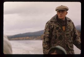
Image depicts Ray Mueller steering a boat on the Fraser River in the Grand Canyon, B.C.
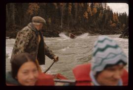
Image depicts a group of people in boats, with Ray Mueller steering one of them, on the Fraser River in the Grand Canyon, B.C.
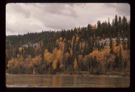
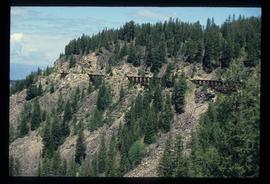
Image depicts a view of the ridge above the Fraser River which forms the Grand Canyon, B.C.
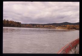
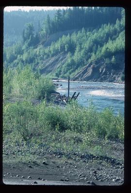
Image depicts the Fraser River in the Grand Canyon, B.C.
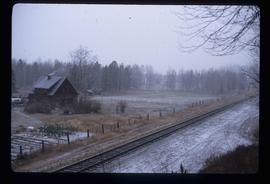
Image depicts a set of train tracks, a farmhouse, and some fields; possibly in Woodpecker, B.C.
Image depicts Bellos Road, most likely in Red Rock, B.C.
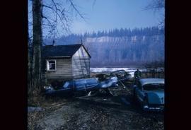
Image depicts several old, ruined cars and an unknown individual in Island Cache.
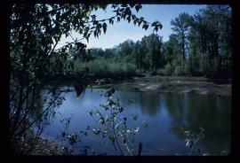
Image depicts what is possibly a small section of the Nechako River on Cottonwood Island.
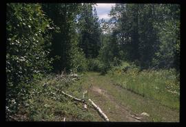
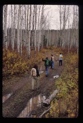
Image depicts four unknown individuals hiking along a path in the woods somewhere near Miworth, B.C.
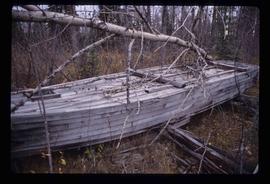
Image depicts the remains of the old Miworth Ferry, somewhere near Miworth, B.C.
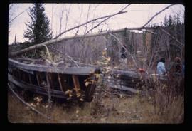
Image depicts two unknown individuals and the remains of the old Miworth Ferry, somewhere near Miworth, B.C.
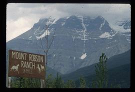
Image depicts Mount Robson while en route to Mount Robson Ranch in B.C.
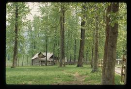
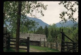
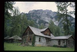
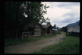
Image depicts the Mount Robson Ranch.
Image depicts the Mount Robson Ranch.
Image depicts the Mount Robson Ranch.
Image depicts the Mount Robson Ranch.
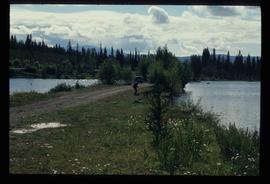
Image depicts a man fishing in the Kettle River.
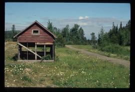
Image depicts a small, ruined shed somewhere in the Okanagan Kettle Valley.
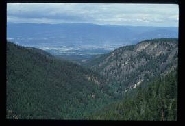
Image depicts a view of the Okanagan Kettle Valley.
Image depicts an unknown figure standing inside a tunnel from the old Kettle Valley Rail Road.
Image depicts the old Kettle Valley Rail Road.
Image depicts a creek near Quesnelle Forks, B.C.
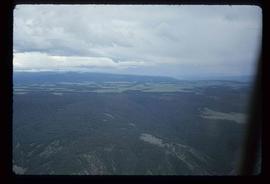
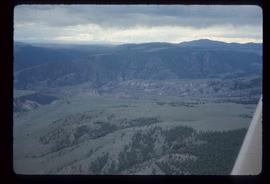
Image depicts an aerial view of a plateau near the Fraser River.
Image depicts an aerial view of a plateau near the Fraser River.
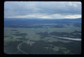
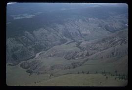
Image depicts an aerial view of the land near the Fraser River.
Image depicts an aerial view of the Fraser River.
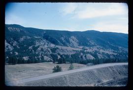
Image depicts an aerial view of a stretch of road near the Fraser Bridge.
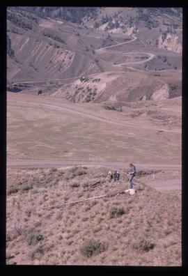
Image depicts a view of the scenery at an uncertain location with numerous individuals, possibly tourists, present. It is possibly somewhere near the Fraser River.
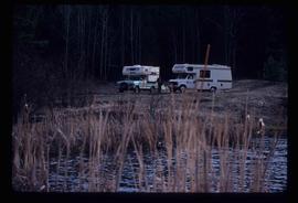
Image depicts two campers at an uncertain location, possibly somewhere near Meldrum Creek, B.C.
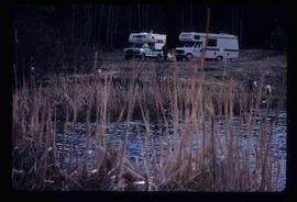
Image depicts two campers at an uncertain location, possibly somewhere near Meldrum Creek, B.C.
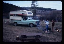
Image depicts a camper and a man and woman at an uncertain location, possibly somewhere near Meldrum Creek, B.C. The woman in the image is Sue Sedgwick.
Image depicts numerous businesses, such as the Bay, Overwaitea, and Dairy Queen, somewhere in Kitimat, B.C.
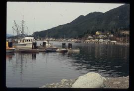
Image depicts numerous docked boats, as well as many houses on the shore in the background; located in Kitimat, B.C.
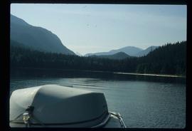
Image depicts what is possibly either the Hecate Strait or the Minette Bay from somewhere near Kitimat, B.C.
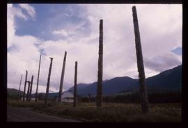
Image depicts a row of totem poles in Kitwanga, B.C.
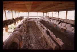
Image depicts several old totem poles on their sides in Kitwancool, B.c.
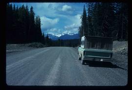
Image depicts a truck parked on the side of the Cassiar Highway.
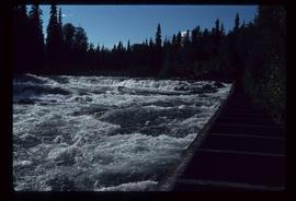
Image depicts the fish ladder of the Meziadin Falls, designed to help fish swim upstream.
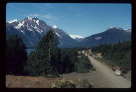
Image depicts the Meziadin Lake and the Bear Pass in the distance.
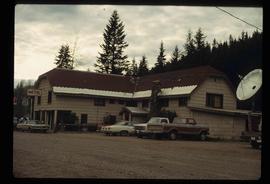
Image depicts a hotel in Likely, B.C.
Image depicts a view of the small town of Likely, B.C.
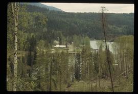
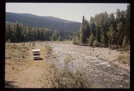
Image depicts the Keithley Creek, with several unknown individuals walking along the banks.
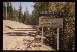
Image depicts a sign on the dirt road leading to Barkerville from Keithley Creek. The sign reads: "Barkerville 40 (via Yanks Peak) Maximum elevation 6200 FT. Summer road only. Steep grades and switchbacks not recommended for other than 4-wheel drive vehicles. You are entering an isolated mountain area; you will be on your own."
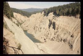
Image depicts the Bullion Pit in Likely, B.C. It is a man-made canyon from the days of the gold-rush, formed by the use of hydraulic monitors. The gold-mine operated from 1892 to 1942.
Image depicts a bridge, and the town of Likely on the the other side of a river.
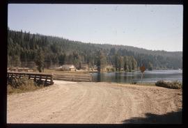
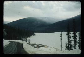
Image depicts the frozen Morfee Lake just to the East of Mackenzie, B.C. The slide is also labelled "sub-boreal," referencing that it is a sub-boreal spruce zone.
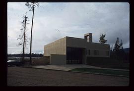
Image depicts St. Peter's Church in Mackenzie, B.C.
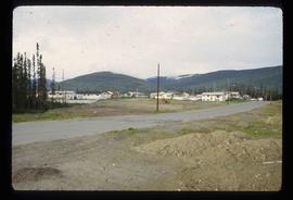
Image depicts a residential area with a playground somewhere in Mackenzie, B.C.
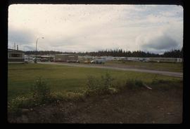
Image depicts a trailer park somewhere in Mackenzie, B.C.
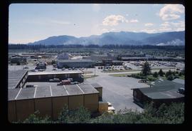
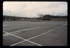
Image depicts numerous vehicles in the parking lot of a mall in Mackenzie, B.C.
