The item is a photograph depicting the canoe brigade on the Fraser River paddling into Prince George. This is part of the Parks Canada bicentennial celebration at Fort George Park. Four canoes can be seen, one waving a Canadian flag.
The item is a photograph depicting three canoes on the Fraser River. The canoes are waving British flags. Annotation on the reverse side of photograph states, "Fraser River Mr. Kim O."
The item is a photograph depicting the canoe brigade on the Fraser River paddling into Prince George. This is part of the Parks Canada bicentennial celebration at Fort George Park.
The item is a photograph depicting the canoe brigade on the Fraser River paddling into Prince George. This is part of the Parks Canada bicentennial celebration at Fort George Park.
The item is a photograph depicting a crowd gathered in Fort George Park. The group is in a large circle surrounding a smaller crowd carrying various flags.
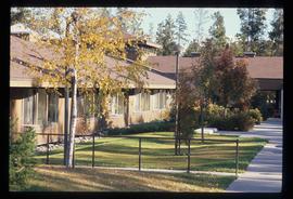
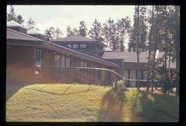
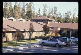
Image depicts Parkside Intermediate Care Home on Ospika Boulevard in Prince George. Map coordinates 53°55'02.6"N 122°47'41.6"W
Image depicts Parkside Intermediate Care Home on Ospika Boulevard in Prince George. Map coordinates 53°55'02.6"N 122°47'41.6"W
Image depicts Parkside Intermediate Care Home on Ospika Boulevard in Prince George. Map coordinates 53°55'02.6"N 122°47'41.6"W
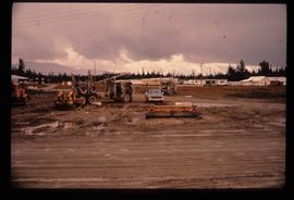
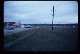
Image depicts several eighteen wheelers at the Pass Lake Road and Upper Fraser Road intersection with numerous houses and buildings in the background in McGregor, B.C. Map coordinates 54°04'38.1"N 121°50'00.1"W
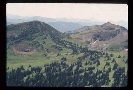
Image depicts a view of a valley; the slide itself labels the image in two places, "central basin" on the left side of the image, and "Pat's Pass" on the top of the image between the two mountains.
The photograph depicts a blurred image of a yellow carpet with colourful designs.
The photograph depicts a blurred image of a yellow carpet with colourful designs.
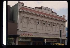
Image depicts an old theatre owned by Paul Aivazoff in Prince Rupert, B.C. It opened in 1935 and was closed in 1981; it has since been renovated for retail use.
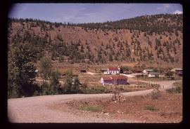
Image depicts the First Nations village of Pavilion, B.C.
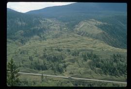
Image depicts an old earth flow somewhere near Pavilion, B.C.
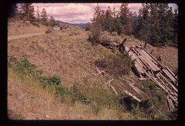
Image depicts the remains of an old bridge, somewhere near Pavilion Mountain.
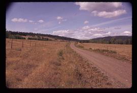
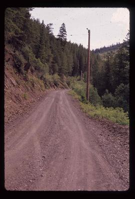
Image depicts the road to Pavilion Mountain.
Image depicts the road to Pavilion Mountain.
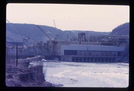
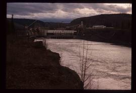
Image depicts the Peace Canyon Dam and generating station under construction on the Peace River.
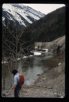
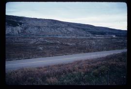
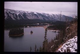
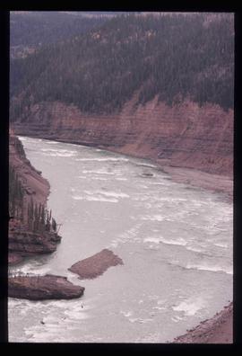
File contains slides depicting places along the Peace River.
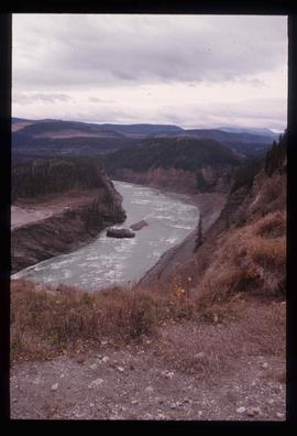
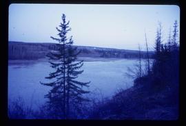
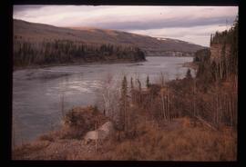
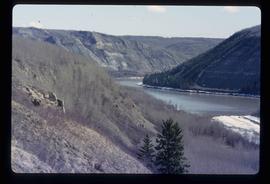
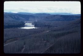
Image depicts the Peace River, possibly near Clayhurst or Hudson's Hope, B.C.
Image depicts the Peace River, possibly near Clayhurst or Hudson's Hope, B.C.
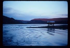
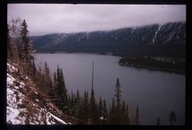
Image depicts what is possibly the Peace River.
Image depicts what is possibly the Peace River.
Image depicts a river, possibly the Peace River.
Image depicts what is possibly the Peace River running parallel to a road, possibly Highway 29.
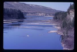
Image depicts the Peace River.
Image depicts the Peace River.
Image depicts the Peace River.
Image depicts the Peace River, possibly near Hudson's Hope, B.C.
Image depicts the Peace River.
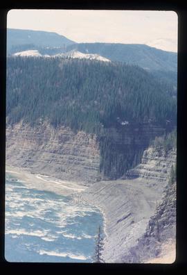
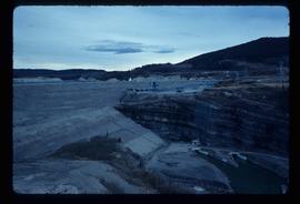
Image depicts the Peace River and visible layers of sediment deposits in the surrounding cliffs.
Image depicts the Peace River, possibly somewhere near Fort St. John, B.C.
Image depicts a dam, possibly on the Peace River.
Image depicts a dam on what is possibly the Peace River.
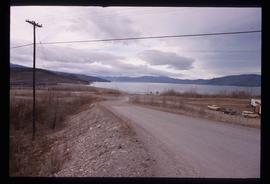
Image depicts a dam and a reservoir of water, possibly on the Peace River.
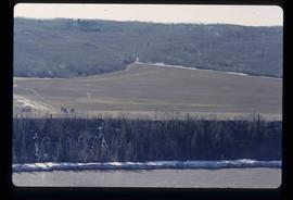
Image depicts what is possibly the Peace River running next to some farm land at an uncertain location.
Item is an original 1986 map depicting the Peace River to Liard region of British Columbia, published by the Outdoor Recreation Council of British Columbia.
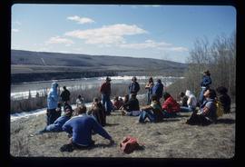
Image depicts a large group of unidentified individuals sitting on a hill; what is possibly the Peace River is visible in the background.
Image depicts the W.A.C. Bennett Dam on the Peace River in Hudson's Hope, B.C.
File consists of notes and reproductions relating to a field trip in May 1979 for the College of New Caledonia to the Peace River Region, including the Pine Pass lookout; Dawson's Creek; Chetwynd; Hudson's Hope; and the W.A.C. Bennett Dam. Includes: "Peace River" duotang with resources compiled by Kent Sedgwick (1979) and "Bird's eye view of Fort St. John" postcard from Fort St. John (1980).
File consists of clippings related to the Peace River region. Also includes photographs taken by Kent Sedgwick depicting Mackenzie, BC and the Peace River region (2003).
Image depicts a street of shops at an uncertain location somewhere in the Peace River Regional District. A pink and blue building, possibly a theatre, is labelled "Lux."
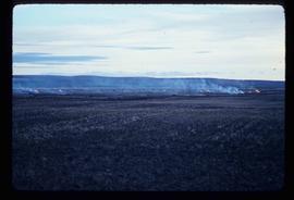
Image depicts grass burning at an uncertain location in the Peace River Region.
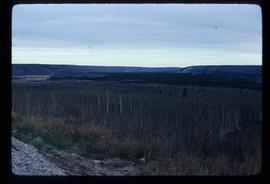
Image depicts a section of forest located somewhere in the Peace River Regional District of B.C.
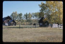
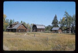
Image depicts the Pearson Homestead.
Image depicts the Pearson Homestead.
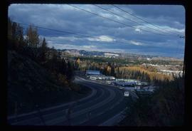
Image depicts a view of Peden Hill in Prince George, B.C.
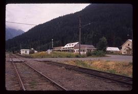
Image depicts rail road tracks and several buildings in Pemberton, B.C.
Image depicts the condominiums in the "Pemberton Valley Estates" in Pemberton, B.C.
