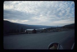
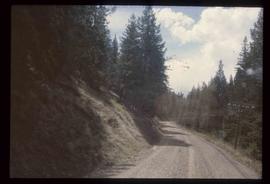
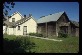
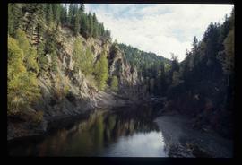
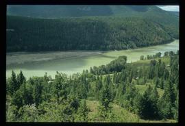
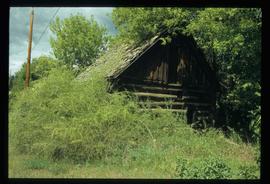
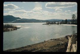
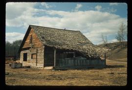
Image depicts a rail road construct from Highway 97 at Mile 126; the slide is also labelled "McAlister."
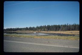
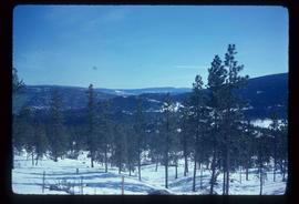
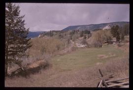
Image depicts a stretch of land from Highway 97 at Mile 231, possibly near Clinton, B.C.
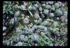
Image depicts some cacti somewhere near Soda Creek, B.C.
Image depicts a loading truck at the Gibraltar mine site north of Williams Lake, B.C.
Image depicts a view of the scenery near Clinton, B.C.
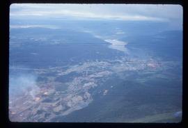
Image depicts an aerial view of Strathnaver, B.C.
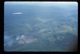
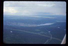
Image depicts an aerial view of Williams Lake, B.C.
Image depicts an aerial view of Williams Lake, B.C.
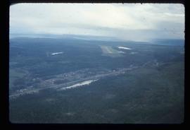
Image depicts an aerial view of the Williams Lake Airport along Highway 97, just north of Williams Lake, B.C.
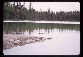
Image depicts the a flock of ducks on Big Bar Lake north of Clinton, B.C..
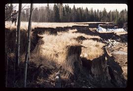
Image depicts an unknown individual standing next to what appears to be a slump type of landslide at an unknown location.
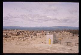
Image depicts a large section of disturbed ground at an unknown location.
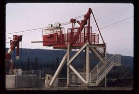
Image depicts a structure that appears to be a type of zipline, ferry platform at an unknown location.
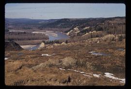
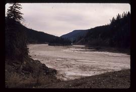
Image depicts a river at an uncertain location.
Image depicts an old slump type of landslide. The slide labels it as being near "McAlister."
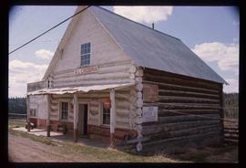
Image depicts an old convenience store, with a sign on it labelled "Al Crosina." It is located at the 153 Mile House.
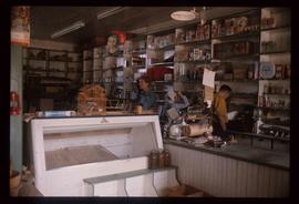
Image depicts the interior of an old convenience store; there are several unknown individuals present. It is located at the 153 Mile House.
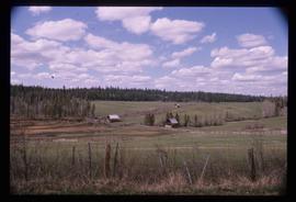
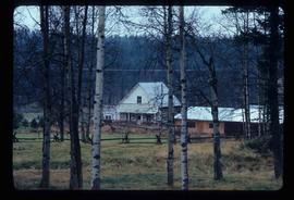
Image depicts a view of the property at 153 Mile House, near Quesnel, B.C.
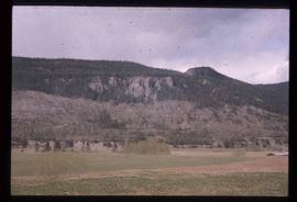
Image depicts a small mountain at an unknown location. The slide is labelled "basalt" for an unknown reason.
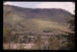
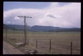
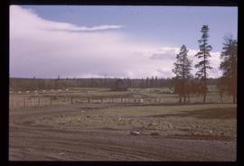
Image depicts a relatively flat section of land with hills in the distance; the location is uncertain.
Image depicts the Cariboo Road in Soda Creek, B.C.
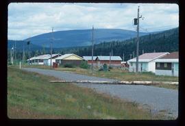
Image depicts a section of land, with a few houses, in Soda Creek, B.C.
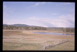
Image depicts a field and pond somewhere in 108 Mile Ranch, B.C.
Image depicts the Watson Mansion in 108 Mile Ranch, B.C. It burned down in 1983 as the result of a chimney fire.
Image depicts what appears to be a junkyard for old mining equipment at an uncertain location, though possibly near Gibraltar.
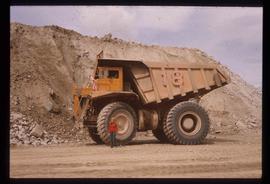
Image depicts an unknown woman standing in front of a truck that either weighs 80 tonnes, or is capable of carrying that much; the slide is simply labelled "80 tons." It is located at the Gibraltar mine site.
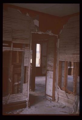
Image depicts the ruined interior of a mansion at an unknown location.
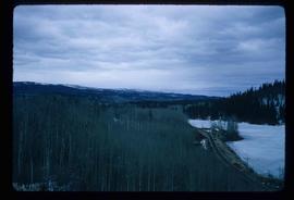
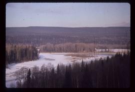
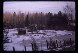
Image depicts a view of a forested area and a frozen river at an unknown location.
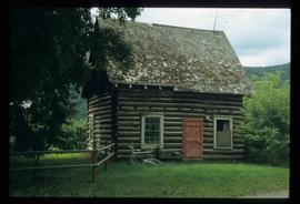
Image depicts a log house at an uncertain location; the slide is simply labelled "Cariboo."
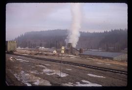
Image depicts a beehive burner, as well as rail road tracks, at an unknown location.
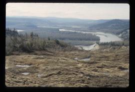
Image depicts an area of disturbed ground, most likely due to a landslide, at an unknown location.
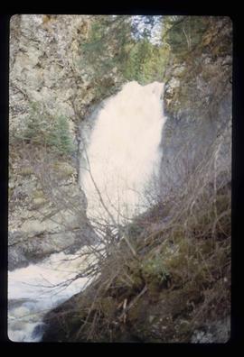
Image depicts the Hixon Falls in Hixon, B.C.
Image depicts the Crosina Store at 153 Mile House.
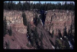
Image depicts the wall of a chasm full of trees at an unknown location.
Image depicts numerous buildings in Hendrix Lake, B.C.
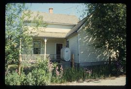
Image depicts the Bohanon House in Quesnel, B.C.
Image depicts the Bohanon House in Quesnel, B.C.
Image depicts the Cottonwood Canyon.
Image depicts a forest and river in Soda Creek, B.C.
Image depicts the old jail house in Soda Creek, B.C.
Image depicts an old building located somewhere are the Pickard farm north of Soda Creek, B.C.
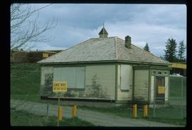
Image depicts the old school at 150 Mile House, with what is likely the modern school visible in the background.
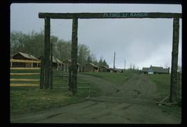
Image depicts the Flying U Ranch at 70 Mile House, B.C.
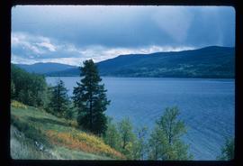
Image depicts a view of Francois Lake.
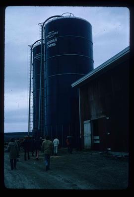
Image depicts a barn with large, Harvestore Systems. It is possibly located on one of the many farms near Vanderhoof, B.C.
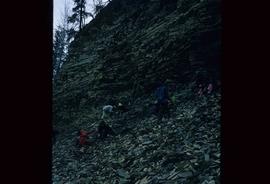
Image depicts numerous unknown individuals searching through a fossil bed, possibly in the Bulkley Valley.
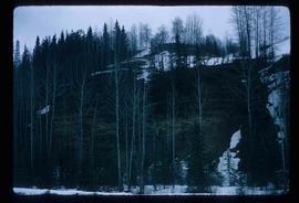
Image depicts a fossil bed, possibly somewhere in the Bulkley Valley.
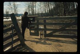
Image depicts an individual opening the gate at Nautley in Fort Fraser, B.C.
Image depicts the entrance of the Nautley River in Fort Fraser, B.C.
Image depicts an old, collapsing house at the Nautley site in Fort Fraser, B.C.
