Affichage de 1199 résultats

Archival description
1070 résultats avec objets numériques Afficher les résultats avec des objets numériques
Frank Swannell
2012.13.2.02.31 · Dossier · 2002-2008
Fait partie de J. Kent Sedgwick fonds

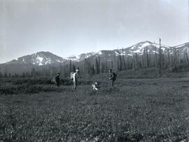
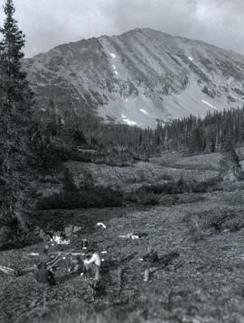
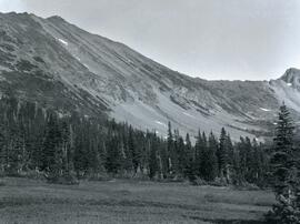
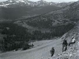
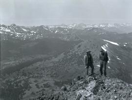
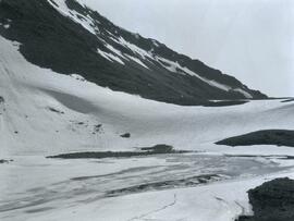
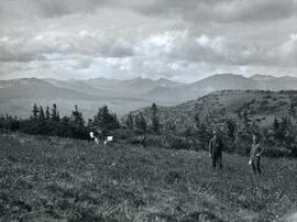
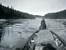
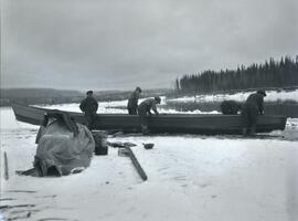
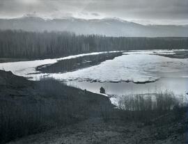
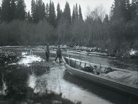
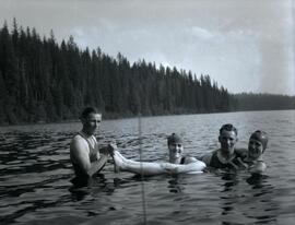
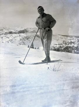
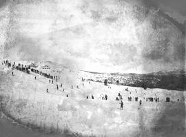
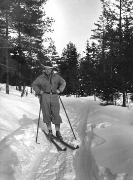
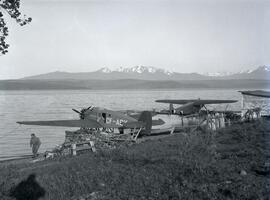
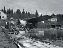
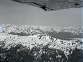
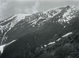
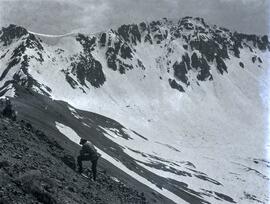
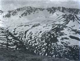
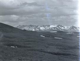
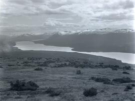
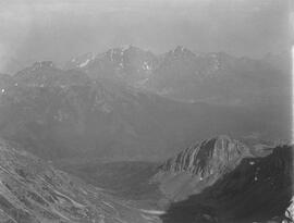
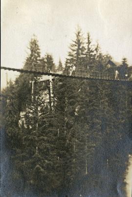
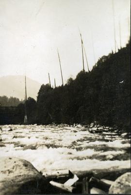
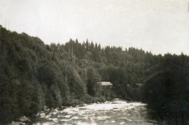
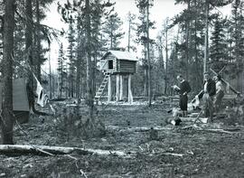
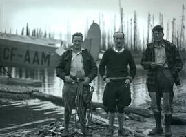
File consists of notes, clippings, and reproductions relating to Frank Swannell, who was a surveyor in British Columbia that surveyed many areas across the province between 1898 and 1908.

2012.13.2.02.50 · Dossier · 2004-2011
Fait partie de J. Kent Sedgwick fonds

File consists of notes, clippings, and reproductions relating to encouraging settlement and immigration to Prince George. Includes material on Dutch settlement in Prince George; the Hornby Plan, a 1933 settlement plan by the Canadian National Railway to develop communities and stimulate business for the railway, particularly in Prince George; promoting Prince George for settlers; reserved land for veterans; and auction of lands to cover delinquent taxes in British Columbia.

2012.13.2.02.57 · Dossier · 1984-2002
Fait partie de J. Kent Sedgwick fonds

File consists of notes and reproductions of Frank Leonard's writings and research for his 1984 BC Studies article "Grand Trunk Pacific and the Establishment of the City of Prince George, 1911-1915". Includes: "Grand Trunk Pacific and the Establishment of Prince George 1911-1915" typescript document by Frank Leonard for his PhD dissertation (Feb. 1984) and "The Grand Trunk Pacific Railway Company and the Development of Northern British Columbia, 1902-1919" outline of dissertation chapters typescript document by Frank Leonard (1984).

2012.13.2.02.62 · Dossier · 1983-1986, 2001
Fait partie de J. Kent Sedgwick fonds

File consists of notes and reproductions relating to George Dawson and the Geological Survey of Canada. Includes: "Museum Mirror" Fraser-Fort George Regional Museum newsletter vol. 1 no. 2 (June 1986). File also includes photographs depicting various sights around British Columbia from George Dawson's explorations (1983 reproduced).

Luther Collins Gunn and L.C. Gunn Park
2012.13.3.1.55 · Dossier · 1985-1990, 2006
Fait partie de J. Kent Sedgwick fonds

File consists of notes and reproductions relating to Luther Collins Gunn and L.C. Gunn Park. Luther Colins Gunn was a survey engineer who had done work for the Grand Trunk Pacific Railway and the Pacific Great Eastern Railway when he arrived in Prince George. The L.C. Gunn trail follows the same route used by Gunn when surveying the rail routes in the Prince George area. Includes: "Gunn Point" typescript document by Ted Williams for the Heritage Advisory Committee (1985); "A Proposal - The L.C. Gunn Viewpoint" typescript letter to Mr. Mac Norris, president of the B.C.R. Company from Ted Williams and the Heritage Advisory Committee (27 Jan. 1987); and "Item of business, proposed use of District Lot # 486" typescript letter from the Heritage Advisory Committee to Beverley Pitman, Planning Assistant (31 May 1979). Also includes photographs depicting the Moffat farm (2005).

Five People
2012.13.1.56.25 · Pièce · 1973
Fait partie de J. Kent Sedgwick fonds

Image depicts five unknown individuals somewhere near Mt. Robson.

People and Mountains
2012.13.1.56.36 · Pièce · 1973
Fait partie de J. Kent Sedgwick fonds

Image depicts a man talking to a group of hikers, with what is possibly Mt. Robson and the Robson Glacier in the background.

Man in Tent
2012.13.1.56.51 · Pièce · 1973
Fait partie de J. Kent Sedgwick fonds

Image depicts an unknown individual reading inside a tent somewhere in Mt. Robson Provincial Park.

Man and Glacier
2012.13.1.56.55 · Pièce · 1973
Fait partie de J. Kent Sedgwick fonds

Image depicts a man, with what is possibly the Robson Glacier visible in the background.

Group of Hikers
2012.13.1.65.12 · Pièce · May 1975
Fait partie de J. Kent Sedgwick fonds

Image depicts a group of hikers listening to a man, possibly a guide, speak. The location is possibly near Riske Creek, B.C.

Tourists?
2012.13.1.65.58 · Pièce · [1976?]
Fait partie de J. Kent Sedgwick fonds

Image depicts a view of the scenery at an uncertain location with numerous individuals, possibly tourists, present. It is possibly somewhere near the Fraser River.

Two People, Two Dogs
2012.13.1.84.06 · Pièce · 1994
Fait partie de J. Kent Sedgwick fonds

Image depicts two individuals and two dogs standing by a stream at an uncertain location, possibly somewhere in Bear Glacier Provincial Park. The woman in purple is possibly Sue Sedgwick.

2021.06.012 · Pièce · [July 1930]
Fait partie de Emil Bronlund Photograph Collection

Photograph depicts (from left to right) Bill McPhee, an unidentified man, a dog, and Frank 'Shorty' Weber standing in tall meadow grass in front of a sparsely forested landscape in front of a mountain range. The location of the photograph is noted to be at Duck Creek below Copper Mountain; however, those names may no longer be in current use. Location is assumed to be approximately 55.979291, -125.208415 near what is currently named Wasi Peak.

Frank ‘Shorty’ Weber had a trapline on the upper Ingenika for over 30 years. and he was well-known in the Finlay River area.

Camp in front of Copper Mountain
2021.06.014 · Pièce · [July 1930]
Fait partie de Emil Bronlund Photograph Collection

Photograph depicts four men seated around a small camp in front of Copper Mountain. The location of the photograph is noted to be at Duck Creek at Copper Mountain; however, those names may no longer be in current use. Location is assumed to be approximately 55.979291, -125.208415 near what is currently named Wasi Peak.

2021.06.016 · Pièce · [July 1930]
Fait partie de Emil Bronlund Photograph Collection

Photograph depicts (from left to right) Bill McPhee, Frank 'Shorty' Weber, and another man resting along the rocky terrain on the west slope of Copper Mountain with a forested area at the base of the mountain. In the background of the image another mountain range is visible. The location of the photograph is noted to be at Copper Mountain; however, that name does not appear to be in current use. Location is assumed to be somewhere in the vicinity of 55.979291, -125.208415, near what is currently named Wasi Peak.

Frank ‘Shorty’ Weber had a trapline on the upper Ingenika for over 30 years. and he was well-known in the Finlay River area.

Ice jam in Parsnip River
2021.06.029 · Pièce · Oct. 1930
Fait partie de Emil Bronlund Photograph Collection

Photograph depicts a large build up of ice along Parsnip River. In the midground there is a boat stopped at the shore and the background depicts a forested area in front of a snow-capped mountain range.