This photograph collection consists of 53 photographs featuring primarily Giscome with a few of Prince George. Subjects include the Eagle Lake Sawmill, Eagle Lake, Giscome townsite (including specific buildings and general road perspectives), Giscome School, Division II class photos (1950-51), and the Giscome School teacherage.
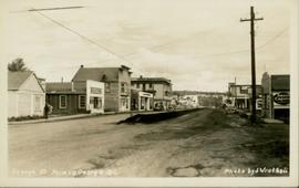
Photo depicts a street perspective of George St., in Prince George, BC, ca. 1950. Annotation recto reads: "George St. Prince George BC Photo by J Wrathall." Handwritten annotation in pen on verso of postcard reads: “This is the Hastings Street of Prince George. This & 3rd Streets are the main thoroughfares.”
File contains slides depicting maps and site plans for the city of Prince George.
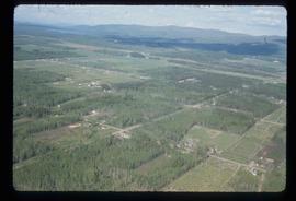
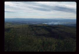
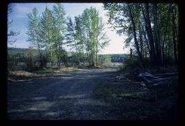
Image depicts a clearing in Prince George, B.C.
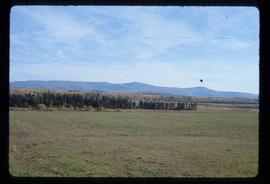
Image depicts Tabor Mountain from the airport in Prince George, B.C.
Image depicts natural meadows, possibly east of Prince Georg, B.C.
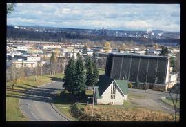
Image depicts a view of Prince George from Gunn Point in the L.C. Gunn Park looking north. Map coordinates 53°54'26.2"N 122°43'35.8"W.
Image depicts a view of Prince George from Gunn Point in the L.C. Gunn Park looking north. Map coordinates 53°54'26.2"N 122°43'35.8"W.
Image depicts a view of Prince George from Gunn Point in the L.C. Gunn Park looking north. Map coordinates 53°54'26.2"N 122°43'35.8"W.
Image depicts a view of Prince George from Gunn Point in the L.C. Gunn Park looking north. Map coordinates 53°54'26.2"N 122°43'35.8"W.
Image depicts a view of Prince George from Gunn Point in the L.C. Gunn Park looking north. Map coordinates 53°54'26.2"N 122°43'35.8"W.
Image depicts a view of Prince George, from Gunn Point in the L.C. Gunn Park.
Image depicts an aerial view of Fort George Park.
Image depicts the cutbanks on the other side of the Nechako, taken from the nature trail at Island Cache. Map coordinates 53°55'34.6"N 122°45'52.4"W
Image depicts a view of Blackburn Schools, possibly taken from Tabor Mountain.
Image depicts Prince George, possibly with the Northwood Pulpmill in the background.
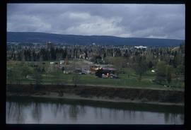
Image depicts downtown Prince George taken from across the Nechako River looking south. Map coordinates 53°56'00.0"N 122°44'29.7"W
Image depicts Prince George Sawmill taken from across the Nechako River looking southwest. Map coordinates 53°56'00.0"N 122°44'29.7"W
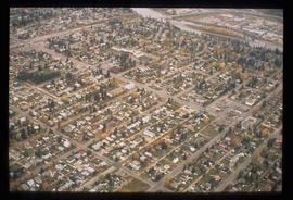
Image depicts an aerial view of a Prince George residential section between Highway 97, Carney Street and 10th Ave looking north. Map coordinates 53°54'54.0"N 122°46'00.4"W
File contains slides depicting the grade for what was formerly the Pacific Great Eastern, and is now known as British Columbia Railway.
Image depicts a bridge in Prince George, B.C.
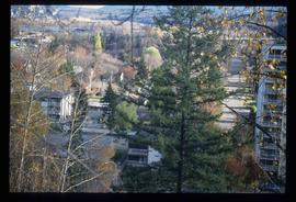
Image depicts Prince George with numerous trees obscuring most of the view.
Image depicts Prince George.
Image depicts the Fraser River at Paddlewheel park, with a train on the other side of the river, in Prince George B.C.
Image depicts a view of Prince George.
File contains slides depicting maps of the Prince George town site.
Image depicts a clearing at Island Cache.
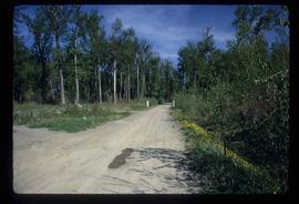
Image depicts a nature trail on Cottonwood Island.
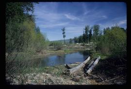
Image depicts Cottonwood Island.
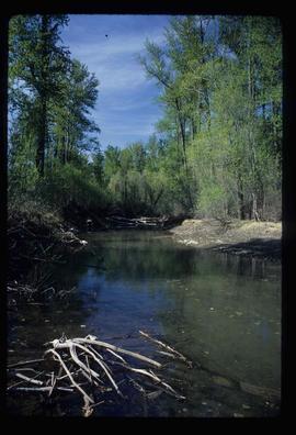
Image depicts a small stream somewhere on Cottonwood Island.
Image depicts a nature trail on Cottonwood Island.
File contains slides depicting the growth of Prince George.
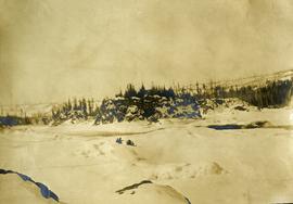
Photograph depicts two people and a dog team on a snowy river bank with a narrow passage of open water and a snowy bluff in the background.
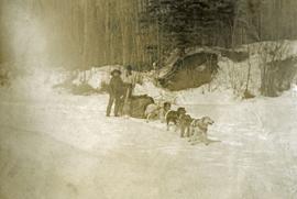
Photograph depicts a four-dog team harnessed to a loaded sleigh. Two people stand near the loaded sleigh on a snowy forest path.
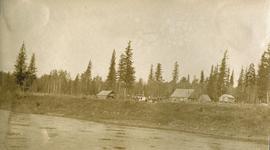
Photograph depicts a small cluster of buildings near the river bank.
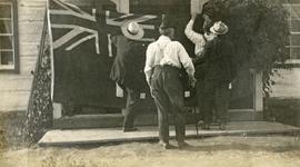
Photograph depicts four men pinning a "Union Jack" flag to the exterior of a building.
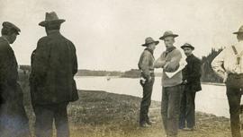
Photograph depicts several men standing on the river bank. Possibly A.H. Holland in center of photo.
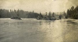
Photograph depicts the rough waters and rocks at Fort George Canyon.
Photograph depicts a view of the river shore, a few scattered buildings and tents are near the shore. A footpath leads from the water's edge between the dwellings and through the newly cleared land.
Photograph depicts a view from a high hill looking down on the Nechako river. There is forest and low rolling hills in the background.
Photograph depicts a view of a lake from a row boat. The back of one male boat passenger and oars are in the foreground.
Photograph depicts several canvas tents set in lush vegetation near dusk.
Photograph depicts seven or more men relaxing near a canvas tent. Some of the men appear to be whittling wood. Long underwear dry on a tent rope and wood smoke drifts past the men and tent to the forest behind.
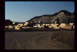
Image depicts numerous piles of wood planks at the Canadian National Railway Yards in Prince George, B.C. The cutbanks are seen in the background.
File contains slides depicting landforms at various locations.
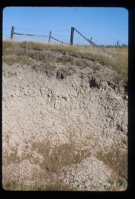
Image depicts an example of varves, an annual layer of sediment or rock, possibly located at the airport in Prince George, B.C.
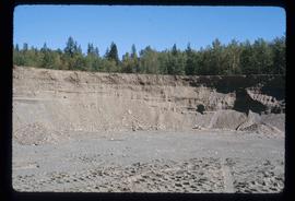
Image depicts layers of gravel at the BCR site in Prince George, B.C.
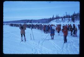
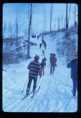
Image depicts a long line of people cross country skiing along the Birchleg route on Tabor Mountain in Prince George, B.C.
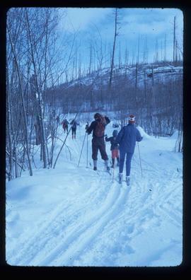
Image depicts numerous skiers cross-country skiing on a trail through trees on the Birchleg Ski route on Tabor Mountain in Prince George, B.C.
Image depicts numerous skiers on the Birchleg Ski route on Tabor Mountain in Prince George, B.C.
