2012.13.1.14.22
·
Item
·
Dec. 1997
Part of J. Kent Sedgwick fonds
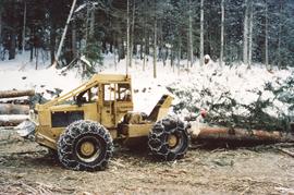
Image depicts a private driveway, most likely leading to the Ginter Property in Prince George, B.C.